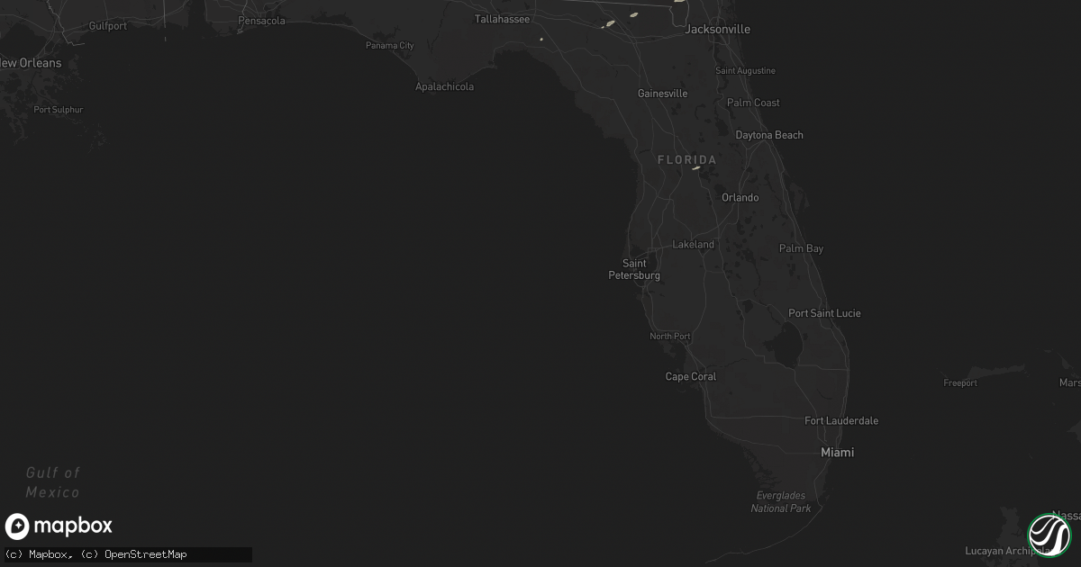
Hail Map in Florida on January 11, 2014
Get this storm
January 11 map
$229
one time, instant access
Download today. No call, no setup
Keep the $229
Bought the map and want the full workflow? Apply the entire $229 to a subscription within 7 days. None of it is wasted.
Every map, not just this one
This buys you this map. Subscription and you get every map we run, in the markets you choose from a few cities to whole states to nationwide. Plus real-time alerts the moment a storm fires.
Contact data
Name, contact info, occupancy, even credit band for addresses in the footprint. You go from where it hit to who to call.
Become the source they trust
Unlimited branding weather history reports on demand. You already have the documented answer ready for the property owner, and you are the one who showed up with it.
Property data and RoofTrace estimates
Pull up any address you have got, its value and the exact code rules for that jurisdiction, straight from One Click Code. Then RoofTrace estimates the squares, pitch, and roof value, priced the way you price.
Storm reports in Florida
Florida
| Date | Description |
|---|---|
| 01/11/20144:30 PM CST | Tree fell onto a house near watkins road and highway 209. Time of event based on radar. |
| 01/11/20144:10 PM CST | A tree fell onto a house off of noel road. Time of event based on radar. |
| 01/11/20144:00 PM CST | Tree down on wekiva rd. Time based upon radar estimate. |
| 01/11/20143:26 PM CST | Trained spotter reported 60 mph gust as squall line moved through his location. |
| 01/11/20143:25 PM CST | Power lines reported down on dilworth street that caused multiple fires. Also a large tree down near the intersection of seagrove street and west bryant street. |
| 01/11/20143:00 PM CST | Lake city municipal airport awos reported wind gust of 62 mph. Nearby forestry office reports tree branches down. |
| 01/11/20142:27 PM CST | Tree and power line down on se malone ave |
| 01/11/20142:25 PM CST | Tree down on power lines on east u.s. 27 |
| 01/11/20142:20 PM CST | Tree down on county road 534 |
| 01/11/20141:45 PM CST | Numerous tress down across the area |
| 01/11/20141:45 PM CST | Tree down on yellow pine ave |
| 01/11/20141:40 PM CST | Tree down near washington and sumter road |
| 01/11/20141:27 PM CST | Tree down on highway 14 |
| 01/11/201412:55 PM CST | *** 1 inj *** tree fell on home on klickacat drive. One woman suffered minor injuries. |
| 01/11/201412:55 PM CST | Tree down on home along spring creek highway slicing it in half. A man was trapped inside but suffered no injuries |
| 01/11/201412:55 PM CST | Large tree down on haidi trail reported by public on social media |
| 01/11/201412:49 PM CST | Trees and power lines down at elgin road and bismark road per fhp. |
| 01/11/201412:45 PM CST | Around 15 trees down across the county with a few homes impacted. Appears to be all straight line winds. |
| 01/11/201412:45 PM CST | Trees and power lines down on maclay road. Tfd on the scene. |
| 01/11/201412:40 PM CST | Tree down on bobbin brook road reported by public |
| 01/11/201412:40 PM CST | Tree down near the intersection of new light church road and crawfordville highway. The tree fell on the new light church sign and destroyed it. |
| 01/11/201412:30 PM CST | Trees down miller landing and brillpoint roads. |
| 01/11/201412:15 PM CST | Trees down near county road 381 |
| 01/11/201412:12 PM CST | Trees down at spooner and old federal rd. |
| 01/11/201412:12 PM CST | Trees and power lines down on kittrell rd. |
| 01/11/201412:11 PM CST | Large tree down across ben bostick road blocking traffic. |
| 01/11/201412:10 PM CST | Trees down on wayside farm rd. |
| 01/11/201412:07 PM CST | Trees down on martin luther king road in downtown quincy. |
| 01/11/201412:00 PM CST | Trees down at solomon and glory rd. |
| 01/11/201411:45 AM CST | Lots of trees down reported by calhoun county dispatch. |
| 01/11/201410:25 AM CST | Tin roof blown off trailer or trailer addition. |
| 01/10/20147:10 PM CST | Large tree down near corner of sybelia ave. And hillcrest ave. Report from orlando broadcast media. Time estimated from radar. |
| 01/10/20146:11 PM CST | Emergency management reported 2 trees down on state road 11 at middle haw creek bridge in bunnell. |
Cities Impacted by Hail Map on January 11, 2014
- Live Oak, FL
- Perry, FL
- White, GA
- Rome, GA
- Kingston, GA
- Cartersville, GA
- Taylorsville, GA
- Manor, GA
- Saint George, GA
- Folkston, GA
- Waleska, GA
- Lake City, FL
- White Springs, FL
- Jasper, FL
- Saint Marys, GA
- Hilliard, FL
- Fruitland Park, FL
- The Villages, FL
- Anniston, AL
- Piedmont, AL
- Weaver, AL
- Jacksonville, AL
- Cedartown, GA
- Silver Creek, GA
- Aragon, GA


