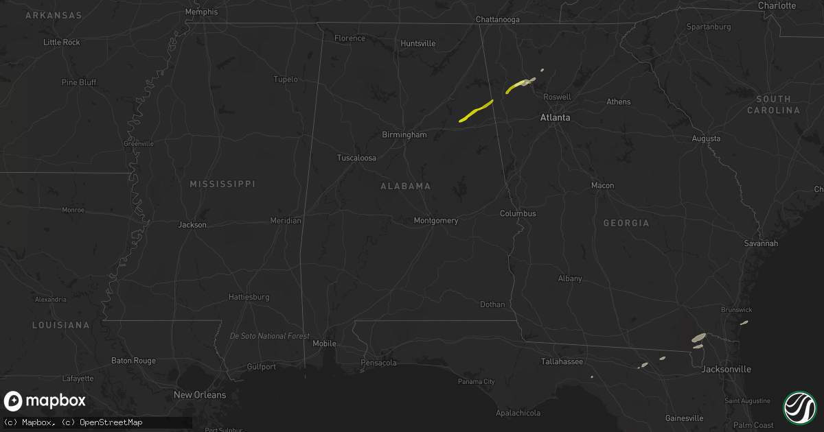
Hail Map in Alabama on January 11, 2014
Get this storm
January 11 map
$229
one time, instant access
Download today. No call, no setup
Keep the $229
Bought the map and want the full workflow? Apply the entire $229 to a subscription within 7 days. None of it is wasted.
Every map, not just this one
This buys you this map. Subscription and you get every map we run, in the markets you choose from a few cities to whole states to nationwide. Plus real-time alerts the moment a storm fires.
Contact data
Name, contact info, occupancy, even credit band for addresses in the footprint. You go from where it hit to who to call.
Become the source they trust
Unlimited branding weather history reports on demand. You already have the documented answer ready for the property owner, and you are the one who showed up with it.
Property data and RoofTrace estimates
Pull up any address you have got, its value and the exact code rules for that jurisdiction, straight from One Click Code. Then RoofTrace estimates the squares, pitch, and roof value, priced the way you price.
Storm reports in Alabama
Alabama
| Date | Description |
|---|---|
| 01/11/20149:59 AM CST | Tree down |
| 01/11/20149:59 AM CST | Tree down |
| 01/11/20149:47 AM CST | Tree down at intersection of us 231 and al 51 in dale county. |
| 01/11/20147:47 AM CST | Trees down near the intersection of hwy 49 and west gantts mill rd. Time estimated from radar. |
| 01/11/20147:19 AM CST | Several trees were blown down in and near the city. Some of the trees landed on homes. |
| 01/11/20147:05 AM CST | Trees down on powerlines in the city of dadeville. Time estimated from radar. |
| 01/11/20147:00 AM CST | Trees down on powerlines along hwy 22 causing power outages. Time estimated from radar. |
| 01/11/20146:55 AM CST | Trees down across eastern and northern tallapoosa county. |
| 01/11/20146:50 AM CST | Several trees were blown down in and near the city. Some of the trees landed on homes. |
| 01/11/20146:45 AM CST | Several trees were blown down north of the city. One tree on a home on sewell st causing major damage...no injuries. Another tree down on a house on locust st causing m |
| 01/11/20146:30 AM CST | Multiple trees and powerlines down along lightwood rd. Porch roof/awning removed from home near intersection of lightwood rd and blackwells rd. Time estimated from rada |
| 01/11/20146:30 AM CST | Roof off old barn on granny lane off of coosa river rd. Time estimated from radar. |
| 01/11/20146:30 AM CST | Muliple trees and powerlines down blocking roadways in and around buyck. Some locations include buyck rd at wood rd...providence rd at jackson trace...bradley rd at weo |
| 01/11/20146:20 AM CST | Trees down blocking the rd along cr 165. Time estimated. |
Cities Impacted by Hail Map on January 11, 2014
- Live Oak, FL
- Perry, FL
- White, GA
- Rome, GA
- Kingston, GA
- Cartersville, GA
- Taylorsville, GA
- Manor, GA
- Saint George, GA
- Folkston, GA
- Waleska, GA
- Lake City, FL
- White Springs, FL
- Jasper, FL
- Saint Marys, GA
- Hilliard, FL
- Fruitland Park, FL
- The Villages, FL
- Anniston, AL
- Piedmont, AL
- Weaver, AL
- Jacksonville, AL
- Cedartown, GA
- Silver Creek, GA
- Aragon, GA


