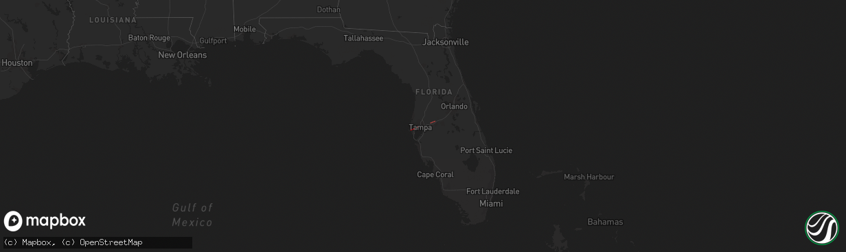
Hail Map in Florida on December 16, 2020
The weather event in Florida on December 16, 2020 includes Hail and Tornado maps. 1 state and 8 cities were impacted and suffered possible damage. The total estimated number of properties impacted is 0.
Want more than just the map?
Turn this storm into a full workflow.
- Owner + property data so you know who to knock
- OnDemand branded weather history reports to win the "did we even have hail?" argument
- RoofTrace estimate so reps stop guessing numbers at the door
Bought this map? Upgrade within 7 days and we'll credit the $230. (10-15 min setup call)
Hail
Tornado
0
Estimated number of impacted properties by a 1.00" hail or larger0
Estimated number of impacted properties by a 1.75" hail or larger0
Estimated number of impacted properties by a 2.50" hail or largerStorm reports in Florida
Florida
| Date | Description |
|---|---|
| 12/16/20204:15 PM CST | Emergency management reported damage to at least 3 homes in the area of daughtry rd and us98. County is still assessing the situation. Time estimated by radar. |
| 12/16/20203:59 PM CST | Social media photo showing mobile home damage with sheet metal debris lofted around power poles and utility lines. Time estimated by radar. |
| 12/16/20203:18 PM CST | Delayed report... Tpd relayed that a tent blew away and landed on electrical wires. Possibly caused by a tornado. Time estimated by radar. |
| 12/16/20203:15 PM CST | Delayed report... Tpd relayed information that a line was blown off a power pole in the vicinity of cypress and west shore. Possibly caused by a tornado. Time estimated |
| 12/16/20202:58 PM CST | Airport officials at the st. Pete-clearwater international airport |
| 12/16/20202:56 PM CST | Major structure damage reported to a business. Time estimated off of radar. |
| 12/16/20202:54 PM CST | Reports and images of structure collapse in an industrial area on endeavor way in largo. Time estimated based on radar. |
| 12/16/20202:53 PM CST | Minor to moderate damage to a private residence. Time estimated by radar. |
| 12/16/20202:53 PM CST | Damage reported to vehicles and a warehouse near bryan dairy road and 66th street in pinellas park. Time estimated based off radar. |
| 12/16/20202:50 PM CST | Amateur radio reports power poles split in half near the bayou club... And four structures damaged within the bayou club development. Time is estimated based on radar. |


