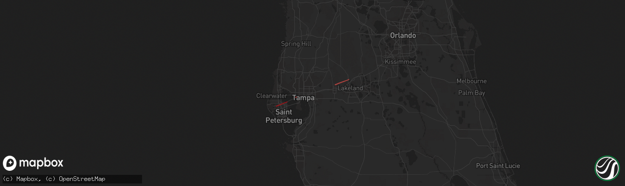
Hail Map in Seminole, FL on December 16, 2020
The weather event in Seminole, FL on December 16, 2020 includes Hail and Tornado maps. 1 state and 8 cities were impacted and suffered possible damage. The total estimated number of properties impacted is 0.
Hail
Tornado
0
Estimated number of impacted properties by a 1.00" hail or larger0
Estimated number of impacted properties by a 1.75" hail or larger0
Estimated number of impacted properties by a 2.50" hail or largerStorm reports in Seminole, FL
Seminole, FL
| Date | Description |
|---|---|
| 12/16/20202:54 PM CST | Reports and images of structure collapse in an industrial area on endeavor way in largo. Time estimated based on radar. |
| 12/16/20202:50 PM CST | Amateur radio reports power poles split in half near the bayou club... And four structures damaged within the bayou club development. Time is estimated based on radar. |


