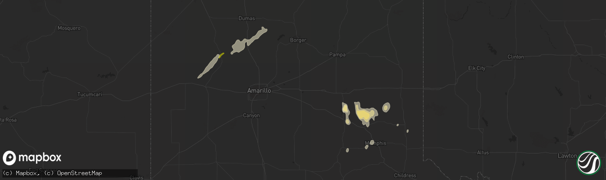
Hail Map in Clarendon, TX on December 14, 2012
The weather event in Clarendon, TX on December 14, 2012 includes Hail map. 2 states and 15 cities were impacted and suffered possible damage. The total estimated number of properties impacted is 0.
Hail
0
Estimated number of impacted properties by a 1.00" hail or larger0
Estimated number of impacted properties by a 1.75" hail or larger0
Estimated number of impacted properties by a 2.50" hail or largerStorm reports in Clarendon, TX
Clarendon, TX
| Date | Description |
|---|---|
| 12/14/20124:58 PM CST | Resident reported portions of a tree...8 ft privacy fence panels...and irrigation pipe were lofted and spiraled in the air as tornado passed near her home. Witness repo |
| 12/14/20124:53 PM CST | Damage to a metal barn and a small shed was destroyed. Rated ef0 with 80 mph winds |


