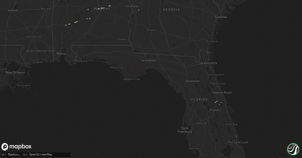
Hail Map in Alabama on December 10, 2012
Get this storm
December 10 map
$229
one time, instant access
Download today. No call, no setup
Keep the $229
Bought the map and want the full workflow? Apply the entire $229 to a subscription within 7 days. None of it is wasted.
Every map, not just this one
This buys you this map. Subscription and you get every map we run, in the markets you choose from a few cities to whole states to nationwide. Plus real-time alerts the moment a storm fires.
Contact data
Name, contact info, occupancy, even credit band for addresses in the footprint. You go from where it hit to who to call.
Become the source they trust
Unlimited branding weather history reports on demand. You already have the documented answer ready for the property owner, and you are the one who showed up with it.
Property data and RoofTrace estimates
Pull up any address you have got, its value and the exact code rules for that jurisdiction, straight from One Click Code. Then RoofTrace estimates the squares, pitch, and roof value, priced the way you price.
Storm reports in Alabama
Alabama
| Date | Description |
|---|---|
| 12/10/20121:56 PM CST | One tree down across highway 49 approximately 1 mile south of the franklin community. |
| 12/10/20121:45 PM CST | Two trees and one powerline down in the town of shorter. |
| 12/10/20121:31 PM CST | A few trees down along wares ferry road. |
| 12/10/20121:22 PM CST | A tree was reported blocking brady road in pintlala. |
| 12/10/201210:36 AM CST | One tree down near newell. |
| 12/10/201210:36 AM CST | Trees were reported down on county road 62. |
| 12/10/201210:31 AM CST | 911 center reports a tree down on county road 85 just east of the i-65 overpass. |
| 12/10/201210:30 AM CST | Several trees down at the intersection of county road 62 and county road 30. |
| 12/10/201210:21 AM CST | Two trees down near fosters cross roads |
Cities Impacted by Hail Map on December 10, 2012
- Tyler, AL
- Selma, AL
- Fort Pierce, FL
- Montgomery, AL
- Douglasville, GA
- Cusseta, GA
- Pine Apple, AL
- Ochopee, FL
- Bowdon, GA
- Lagrange, GA
- Pine Mountain, GA
- Grove Hill, AL
- Geneva, FL
- Talladega, AL
- Carrollton, GA
- Tallassee, AL
- Miami, FL
- Dadeville, AL
- Sanford, FL
- Deltona, FL
- Thomasville, AL
- Dickinson, AL
- Greenville, GA
- Minter, AL
- Coy, AL
- Camden, AL


