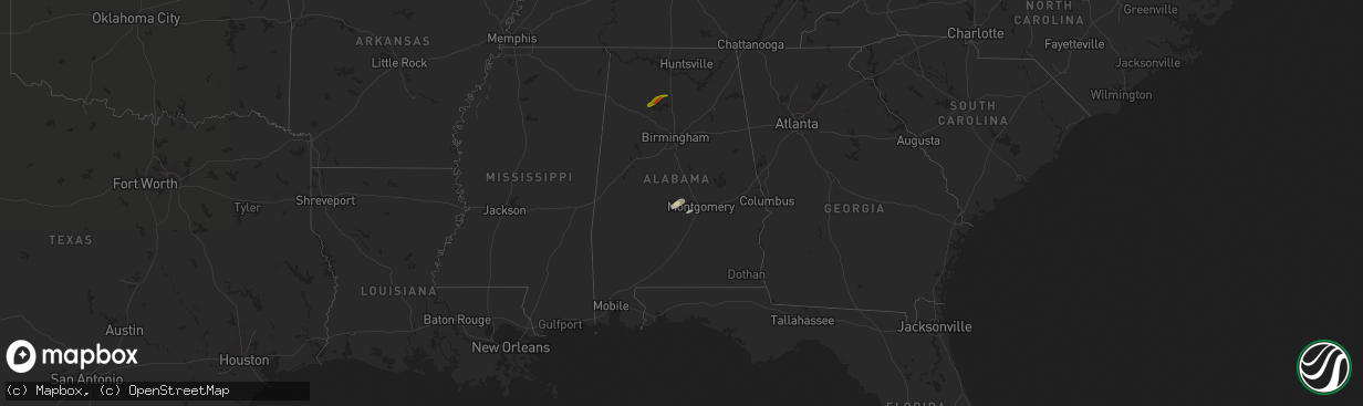
Hail Map in Alabama on November 30, 2016
The weather event in Alabama on November 30, 2016 includes Hail map. 1 state and 13 cities were impacted and suffered possible damage. The total estimated number of properties impacted is 2,950.
Want more than just the map?
Turn this storm into a full workflow.
- Owner + property data so you know who to knock
- OnDemand branded weather history reports to win the "did we even have hail?" argument
- RoofTrace estimate so reps stop guessing numbers at the door
Bought this map? Upgrade within 7 days and we'll credit the $230. (10-15 min setup call)
Hail
2,950
Estimated number of impacted properties by a 1.00" hail or larger662
Estimated number of impacted properties by a 1.75" hail or larger0
Estimated number of impacted properties by a 2.50" hail or largerStorm reports in Alabama
Alabama
| Date | Description |
|---|---|
| 11/30/20162:40 PM CST | Tree down on grimes street |
| 11/30/20162:22 PM CST | A large tree limb snapped off and fell onto a power line...resulting in a power outage to 33 customers along county roads 518 and 522. |
| 11/30/20161:32 PM CST | Vfds working to clear trees in roadway: 6000 block of lee rd 390... Also on lee rd 182. Winds estimated 40-50mph based on radar. |
| 11/30/201612:35 PM CST | An ef1 tor with peak winds of 90 mph touched down e of camp hill and moved into far sw chambers co. Path length of 3.2 mi. Path width of 300 yds. The duration of the to |
| 11/30/201612:34 PM CST | Trees down along lee rd 72 between lee rd 188 & lee rd 86. Time estimated from radar. Structural damage also reported along lee rd 453 just to the ne. Possible tornado. |


