Hail Map in Brundidge, AL on November 27, 2019
Get this storm
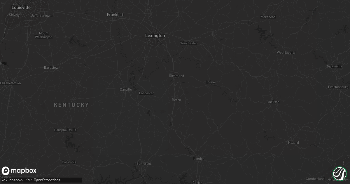
November 27 map
$229
one time, instant access
Download today. No call, no setup
Keep the $229
Bought the map and want the full workflow? Apply the entire $229 to a subscription within 7 days. None of it is wasted.
Every map, not just this one
This buys you this map. Subscription and you get every map we run, in the markets you choose from a few cities to whole states to nationwide. Plus real-time alerts the moment a storm fires.
Contact data
Name, contact info, occupancy, even credit band for addresses in the footprint. You go from where it hit to who to call.
Become the source they trust
Unlimited branding weather history reports on demand. You already have the documented answer ready for the property owner, and you are the one who showed up with it.
Property data and RoofTrace estimates
Pull up any address you have got, its value and the exact code rules for that jurisdiction, straight from One Click Code. Then RoofTrace estimates the squares, pitch, and roof value, priced the way you price.
Storm reports in Brundidge, AL
Brundidge, AL
| Date | Description |
|---|---|
| 11/27/20199:05 AM CST | A brief ef-0 tornado resulted in minor tree and structural damage just east of the town of brundidge in southeast pike county. |
| 11/27/20199:03 AM CST | Corrects and updates previous tstm wnd dmg report and location from 2 nw brundidge. Damage to 5 mobile homes with damage to windows... Roofs and doors. 1 mobile home of |
| 11/27/20198:58 AM CST | Damage to mobile homes... Windows blown out... Damage to doors. Trees down. Location roughly 1 mile west of brundidge on al sr 10. Time estimated by radar. Possible tor |


