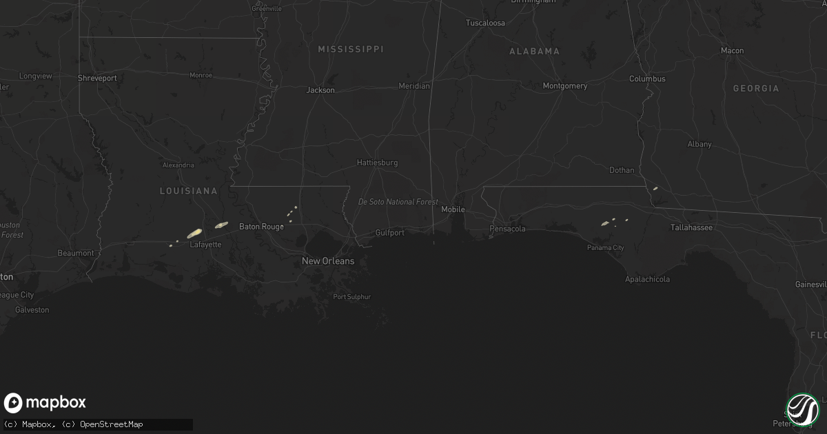
Hail Map in Louisiana on November 16, 2014
Get this storm
November 16 map
$229
one time, instant access
Download today. No call, no setup
Keep the $229
Bought the map and want the full workflow? Apply the entire $229 to a subscription within 7 days. None of it is wasted.
Every map, not just this one
This buys you this map. Subscription and you get every map we run, in the markets you choose from a few cities to whole states to nationwide. Plus real-time alerts the moment a storm fires.
Contact data
Name, contact info, occupancy, even credit band for addresses in the footprint. You go from where it hit to who to call.
Become the source they trust
Unlimited branding weather history reports on demand. You already have the documented answer ready for the property owner, and you are the one who showed up with it.
Property data and RoofTrace estimates
Pull up any address you have got, its value and the exact code rules for that jurisdiction, straight from One Click Code. Then RoofTrace estimates the squares, pitch, and roof value, priced the way you price.
Storm reports in Louisiana
Louisiana
| Date | Description |
|---|---|
| 11/16/201412:58 PM CST | Storm spotter reported a portion of a shed blown into a neighbors yard. Time estimated from radar. |
| 11/16/201412:55 PM CST | Tractor trailer overturned at hwy 365 and hwy 95. |
| 11/16/201412:24 PM CST | 911 reported branches and power lines down at morrow road and highway 13. |
| 11/15/20148:40 PM CST | Emergency manager relayed report from electric power untility of several trees down in the vicinity of highway 1036 and highway 441. Time estimated on radar. |
| 11/15/20148:20 PM CST | Sherrifs office reported tornado touched down near the intersection of louisiana highway 63 and highway 442. Trees reported down. Time based on radar. |
| 11/15/20147:50 PM CST | Sheriffs office relayed a public report of a brief tornado touchdown. Damage was reported to fences. |


