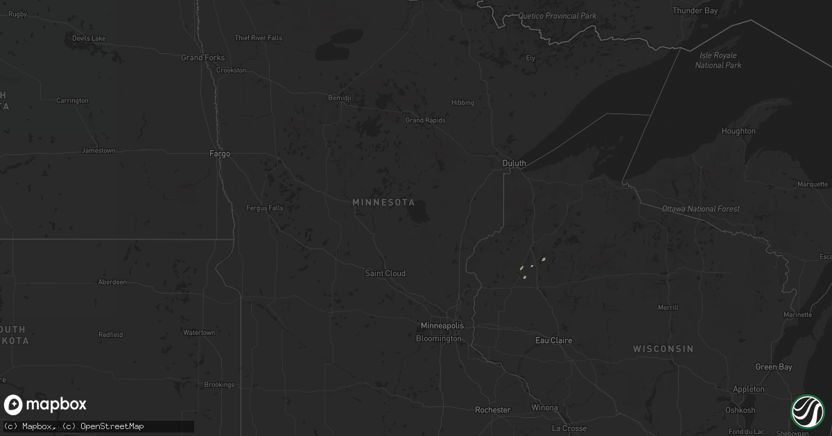
Hail Map in Minnesota on November 10, 2012
Get this storm
November 10 map
$229
one time, instant access
Download today. No call, no setup
Keep the $229
Bought the map and want the full workflow? Apply the entire $229 to a subscription within 7 days. None of it is wasted.
Every map, not just this one
This buys you this map. Subscription and you get every map we run, in the markets you choose from a few cities to whole states to nationwide. Plus real-time alerts the moment a storm fires.
Contact data
Name, contact info, occupancy, even credit band for addresses in the footprint. You go from where it hit to who to call.
Become the source they trust
Unlimited branding weather history reports on demand. You already have the documented answer ready for the property owner, and you are the one who showed up with it.
Property data and RoofTrace estimates
Pull up any address you have got, its value and the exact code rules for that jurisdiction, straight from One Click Code. Then RoofTrace estimates the squares, pitch, and roof value, priced the way you price.
Storm reports in Minnesota
Minnesota
| Date | Description |
|---|---|
| 11/09/201211:20 PM CST | Numerous trees down and power lines down. Time estimated. |
| 11/09/201211:16 PM CST | Numerous reports of large trees down and dumpsters in street. Near st paul air port. Time estimated. |
| 11/09/201211:16 PM CST | A local report indicates 70 MPH wind near ST PAUL |
| 11/09/201211:15 PM CST | Trees and power lines down. Time estimated. |
| 11/09/201211:15 PM CST | Trees down. Time estimated. |
| 11/09/201211:12 PM CST | Lilydale pool and yacht club...canopy torn off. Deck furniture damaged. Minor structural damage including a broken entry door. |
| 11/09/201211:10 PM CST | Brief tornado rated ef-0. It touched down in far northern mendota heights...just southeast of highway 13 and wachtler avenue. Numerous trees were blown down incuding so |
| 11/09/201211:06 PM CST | Trees down. Time estimated. |
| 11/09/201211:06 PM CST | Trees down. Time estimated. |
| 11/09/201211:05 PM CST | A brief ef0 tornado spun up near skyline drive east of hwy 13 and tracked nne to the lost spur golf course just south of i-494. Numerous trees were blown down and exhib |
| 11/09/201211:03 PM CST | Structural damge to senior residents...roof damage. Fresh laid sod was piled up next to building. Temporary evacuation for structural assessment. |
| 11/09/201211:03 PM CST | Structural damage to residential house...shingles off. |
| 11/09/201211:00 PM CST | Trees down. Time estimated. |
| 11/09/201211:00 PM CST | Trees down. Time estimated. |
| 11/09/201210:58 PM CST | An ef0 tornado spun up just northeast of the intersection of county road 5 and mcandrews rd and tracked northeast to just southwest of the intersection of burnsville pk |
All States Impacted by Hail Map on November 10, 2012
Cities Impacted by Hail Map on November 10, 2012
- Lyons, KS
- Chapman, NE
- Cairo, NE
- Osceola, NE
- Shelby, NE
- Protection, KS
- Mullinville, KS
- Haviland, KS
- Minneola, KS
- Matador, TX
- Kenesaw, NE
- Heartwell, NE
- Juniata, NE
- Holstein, NE
- Crawford, OK
- Durham, OK
- Reydon, OK
- Saronville, NE
- Clay Center, NE
- Esbon, KS
- Bolingbrook, IL
- Plainfield, IL
- Woodridge, IL
- Naperville, IL
- Oswego, IL
- Quanah, TX
- Buffalo, OK
- Fort Supply, OK
- Oakland, NE
- Lyons, NE
- Little River, KS
- Great Bend, KS
- Trumbull, NE
- Harvard, NE
- Raymond, KS
- Vici, OK
- Mutual, OK
- Beemer, NE
- Windom, KS
- Lindsborg, KS
- Marquette, KS
- Alden, KS
- Geneseo, KS
- St John, KS
- Hudson, KS
- Falun, KS
- Lewis, KS
- Chase, KS
- Macksville, KS
- Mcpherson, KS
- Belpre, KS
- Larned, KS
- Ellinwood, KS
- Offerle, KS
- Aurora, IL
- North Aurora, IL
- Batavia, IL
- Warrenville, IL
- Wellington, TX
- Inman, KS
- Crosbyton, TX
- Saint Libory, NE
- Saint Paul, NE
- Palmer, NE
- Grand Island, NE
- Wood River, NE
- Roseland, NE
- Russell, KS
- Silverton, TX
- Rogers, NE
- Schuyler, NE
- Hampton, NE
- Hordville, NE
- Spearville, KS
- Floodwood, MN
- Taloga, OK
- Sterling, KS
- Aurora, NE
- Giltner, NE
- Montgomery, IL
- Hammon, OK
- Laverne, OK
- Briscoe, TX
- Hinckley, IL
- Big Rock, IL
- Elburn, IL
- Hoisington, KS
- Olmitz, KS
- Kinsley, KS
- Hanston, KS
- Spur, TX
- Dickens, TX
- Wilson, KS
- Holyrood, KS
- Lorraine, KS
- Ellsworth, KS
- Sweetwater, OK
- Woodward, OK
- Leedey, OK
- Seiling, OK
- Randolph, KS
- Beverly, KS
- Minneapolis, KS
- Bennington, KS
- Tescott, KS
- Mooreland, OK
- Garfield, KS
- Medicine Lodge, KS
- Shamrock, TX
- Albert, KS
- Kanopolis, KS
- Claflin, KS
- Bushton, KS
- Brookville, KS
- Otis, KS
- Salina, KS
- Wellington, KS
- Inavale, NE
- Red Cloud, NE
- Bladen, NE
- Quitaque, TX
- Phillips, NE
- Wolbach, NE
- Bucklin, KS
- Greensburg, KS
- Fairfield, NE
- Glenvil, NE
- Stafford, KS
- Smith Center, KS
- Lebanon, KS
- Sutton, NE
- Columbus, NE
- Platte Center, NE
- Sandwich, IL
- Plano, IL
- Ford, KS
- Doniphan, NE
- Paducah, TX
- May, OK
- Assaria, KS
- Canadian, TX
- Coldwater, KS
- Freedom, OK
- Hedley, TX
- Mooseheart, IL
- Roaring Springs, TX
- Sawyer, KS
- Duke, OK
- North Bend, NE
- Dodge, NE
- Linwood, NE
- Bellwood, NE
- David City, NE
- Blue Hill, NE
- Lawrence, NE
- Clarkson, NE
- Sharon, OK
- Hastings, NE
- Clarendon, TX
- Wheeler, TX
- Wakefield, KS
- Miltonvale, KS
- Longford, KS
- Lincoln, KS
- Abilene, KS
- Clay Center, KS
- Pawnee Rock, KS
- Solomon, KS
- Minden, NE
- Ashland, KS
- Courtland, KS
- Jamestown, KS
- Norway, KS
- Scandia, KS
- Quail, TX
- Sun City, KS
- Lake City, KS
- Coats, KS
- Arnett, OK
- Fargo, OK
- Gage, OK
- Shattuck, OK
- Beloit, KS
- Silver Creek, NE
- Genoa, NE
- Monroe, NE
- Sylvia, KS
- Lelia Lake, TX
- Iuka, KS
- Byers, KS
- Leigh, NE
- Enterprise, KS
- Hope, KS
- Cumberland, WI
- Mclean, TX
- Wilmore, KS
- Birchwood, WI
- Lakeview, TX
- Erick, OK
- Abbyville, KS
- Plevna, KS
- Downers Grove, IL
- Deweese, NE
- Butler, OK
- Custer City, OK
- Texola, OK
- Gaylord, KS
- Clarks, NE
- Creston, NE
- Bloomington, NE
- Upland, NE
- Franklin, NE
- Alda, NE
- Ayr, NE
- Burr Oak, KS
- West Point, NE
- Barronett, WI
- Yorkville, IL
- Filley, NE
- Archer, NE
- Central City, NE
- Howells, NE
- Cuba, KS
- Pratt, KS
- Olsburg, KS
- Frankfort, KS
- Scribner, NE
- Humphrey, NE
- Gresham, NE
- Campbell, NE
- Tampa, KS
- Concordia, KS
- Agenda, KS
- Belleville, KS
- Fairbury, NE
- Endicott, NE
- Diller, NE
- Marquette, NE
- Barnard, KS
- York, NE
- Memphis, TX
- Polk, NE
- Rice Lake, WI
- Sarona, WI
- Sylvan Grove, KS
- Inland, NE
- Athol, KS
- Wright, KS
- Bison, KS
- Darien, IL
- Gypsum, KS
- Haddam, KS
- Mahaska, KS
- Bradshaw, NE
- Albion, NE
- Hardtner, KS
- West Chicago, IL
- Winfield, IL
- Sugar Grove, IL
- Wheaton, IL
- Afton, TX
- Lockport, IL
- Lemont, IL
- Spalding, NE
- Leonardville, KS
- Rising City, NE
- Simpson, KS
- Glasco, KS
- Cheyenne, OK
- Fullerton, NE
- Morrowville, KS
- Newport, NE
- Riverton, NE


