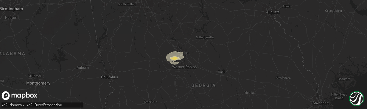
Hail Map in Macon, GA on November 7, 2018
The weather event in Macon, GA on November 7, 2018 includes Hail map. 5 states and 43 cities were impacted and suffered possible damage. The total estimated number of properties impacted is 0.
Hail
0
Estimated number of impacted properties by a 1.00" hail or larger0
Estimated number of impacted properties by a 1.75" hail or larger0
Estimated number of impacted properties by a 2.50" hail or largerStorm reports in Macon, GA
Macon, GA
| Date | Description |
|---|---|
| 11/07/20184:55 PM CST | One tree was reported down on sgoda road. |
| 11/07/20184:55 PM CST | One tree was reported down on strawberry lane. |
| 11/07/20184:42 PM CST | Roof damage was reported at a church along skipper road. |
| 11/07/20184:42 PM CST | A large tree was reported down at porter elementary school on school road. |
| 11/07/20184:40 PM CST | Tree down across all lanes on i-75 s at hartley bridge rd |
| 11/07/20184:40 PM CST | Trees down at intersection of sardis church rd and skipper rd. |
| 11/07/20184:40 PM CST | Corrected: tree down across all lanes on i-475 s north of i-75 merger and hartley bridge rd |
All States Impacted by Hail Map on November 7, 2018
All Cities Impacted by Hail Map on November 7, 2018
- Angie, LA
- Franklinton, LA
- Beaumont, TX
- Kountze, TX
- Saratoga, TX
- Sour Lake, TX
- Marksville, LA
- Simmesport, LA
- Plaucheville, LA
- Moreauville, LA
- Lumberton, TX
- Port Neches, TX
- Nederland, TX
- Zachary, LA
- Pelahatchie, MS
- Flowood, MS
- Brandon, MS
- Morton, MS
- Pearl, MS
- Maplesville, AL
- Stanton, AL
- Macon, GA
- Lizella, GA
- Quitman, MS
- Carriere, MS
- Poplarville, MS
- Knoxville, GA
- Fort Valley, GA
- Byron, GA
- Musella, GA
- Opelousas, LA
- Buna, TX
- Houston, TX
- Diamondhead, MS
- Macon, MS
- Eutaw, AL
- Knoxville, AL
- Aliceville, AL
- Bogalusa, LA
- Butler, AL
- Needham, AL
- Kiln, MS
- Jackson, MS


