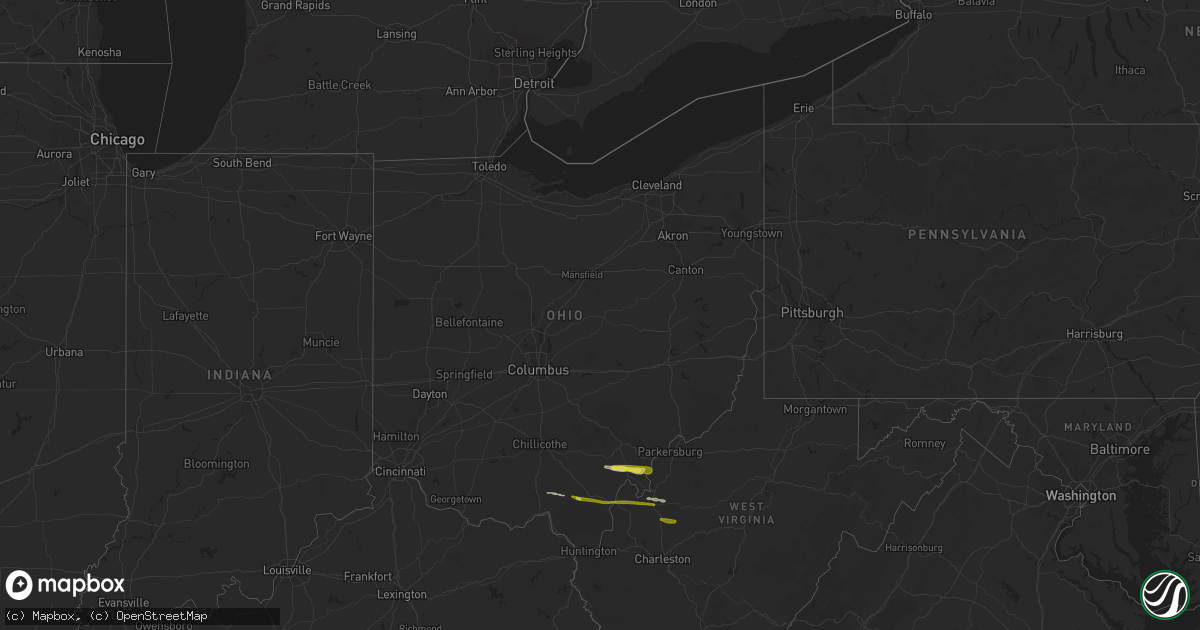
Hail Map in Ohio on October 28, 2018
Get this storm
October 28 map
$229
one time, instant access
Download today. No call, no setup
Keep the $229
Bought the map and want the full workflow? Apply the entire $229 to a subscription within 7 days. None of it is wasted.
Every map, not just this one
This buys you this map. Subscription and you get every map we run, in the markets you choose from a few cities to whole states to nationwide. Plus real-time alerts the moment a storm fires.
Contact data
Name, contact info, occupancy, even credit band for addresses in the footprint. You go from where it hit to who to call.
Become the source they trust
Unlimited branding weather history reports on demand. You already have the documented answer ready for the property owner, and you are the one who showed up with it.
Property data and RoofTrace estimates
Pull up any address you have got, its value and the exact code rules for that jurisdiction, straight from One Click Code. Then RoofTrace estimates the squares, pitch, and roof value, priced the way you price.
Storm reports in Ohio
Ohio
| Date | Description |
|---|---|
| 10/28/20186:11 PM CDT | Multiple trees down around troy township near coolville. |
| 10/28/20186:00 PM CDT | A local report indicates 1.00 inch wind near REEDSVILLE |
| 10/28/20185:55 PM CDT | Public report of nickel and quarter sized hail that lasted for about 5 minutes |
| 10/28/20185:49 PM CDT | A local report indicates 1.00 inch wind near 4 NNW CHESTER |
| 10/28/20185:41 PM CDT | Multiple trees blown down. One fell on a house and multiple fell onto kimberly road... Knocking down power lines. Also received report that a trampoline went airborne. |
| 10/28/20185:40 PM CDT | Roof blown off of house on willow creek road near lodi township |
| 10/28/20185:34 PM CDT | Quarter sized hail reported at the intersection of pageville road and route 684 in pageville |
| 10/28/20185:10 PM CDT | Nws survey determined an ef0 touched down near cullison road to near kimberly road... Between connett and nelsonville. Time of event is estimated from radar and is prel |
| 10/28/20184:36 PM CDT | Hail damaged a window. |
| 10/28/20184:00 PM CDT | Hail damaged a window. |
| 10/28/20182:00 AM CDT | At 700 PM EDT, a severe thunderstorm was located 8 miles southeast of Caldwell, moving east at 55 mph. HAZARD...Wind gusts to 60 mph and quarter-size hail. SOURCE...Radar. IMPACT...Minor hail damage to vehicles is possible. Expect wind damage to trees and power lines, resulting in some power outages. Locations impacted include... Woodsfield... Macksburg... Lewisville... Cameron... Antioch... Stafford... Graysville... Harriettsville... Rinard Mills... Laings... |
| 10/28/20181:35 AM CDT | At 635 PM EDT, a severe thunderstorm was located near Rio Grande, moving east at 45 mph. HAZARD...60 mph wind gusts and quarter size hail. SOURCE...Radar indicated. IMPACT...Hail damage to vehicles is expected. Expect wind damage to roofs, siding, and trees. Locations impacted include... Point Pleasant, Gallipolis, Rio Grande, Gallia, Henderson, Leon, Adamsville, Gallopolis Ferry and Centerpoint. |
All States Impacted by Hail Map on October 28, 2018
Cities Impacted by Hail Map on October 28, 2018
- Pomeroy, OH
- Long Bottom, OH
- Reedsville, OH
- Rutland, OH
- Oak Hill, OH
- Racine, OH
- Ripley, WV
- Sandyville, WV
- Cottageville, WV
- Le Roy, WV
- Langsville, OH
- Albany, OH
- Minford, OH
- Lucasville, OH
- Ravenswood, WV
- Shade, OH
- Gallipolis, OH
- Patriot, OH
- Thurman, OH
- Henderson, WV
- Leon, WV
- Mount Alto, WV
- Letart, WV
- Bidwell, OH
- Evans, WV
- Gallipolis Ferry, WV
- Point Pleasant, WV
- Advent, WV
- Kenna, WV
- Gandeeville, WV


