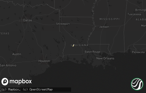
Hail Map in Louisiana on October 25, 2019
The weather event in Louisiana on October 25, 2019 includes Wind map. 2 states and 38 cities were impacted and suffered possible damage. The total estimated number of properties impacted is 0.

Wind
0
Estimated number of impacted properties by a 1.00" hail or larger0
Estimated number of impacted properties by a 1.75" hail or larger0
Estimated number of impacted properties by a 2.50" hail or largerStorm reports in Louisiana
Louisiana
| Date | Description |
|---|---|
| 10/25/20196:05 AM CDT | Widespread tree and powerline damage all across the city of covington. Time estimated. |
| 10/25/20196:00 AM CDT | Multiple reports of widespread tree and powerline damage across the city of mandeville. Time estimated. |
| 10/25/20194:55 AM CDT | Mesonet station xmvl mandeville. |
| 10/25/20194:47 AM CDT | Mesonet station xptn pontchartrain causeway. |
| 10/25/20194:46 AM CDT | Mesonet station xlkf lakefront airport. |
| 10/25/20194:28 AM CDT | Emergency manager reports trees and large limbs down near bogalusa |
| 10/25/20194:27 AM CDT | Mesonet station xbyu bayou bienvenue |
| 10/25/20194:18 AM CDT | Mesonet station frel1 3 ne laplace. |
| 10/25/20194:17 AM CDT | Awos station knbg new orleans nas. |
| 10/25/20194:00 AM CDT | Media reports tree and power lines down blocking roosevelt blvd in metairie. Numerous reports of tree damage in the area from strong winds. |
| 10/25/20193:53 AM CDT | Kmsy new orleans international airport asos reported a peak gust of 51kt/59mph from passing band of thunderstorms. |
| 10/25/20192:54 AM CDT | Asos station kmsy new orleans intl. |
| 10/25/20192:53 AM CDT | Mesonet station xdul dulac. |
| 10/25/20192:09 AM CDT | At 709 AM CDT, a severe thunderstorm was located over Port Fourchon, or 23 miles south of Galliano, moving north at 25 mph. HAZARD...60 mph wind gusts. SOURCE...Radar indicated. IMPACT...Expect damage to roofs, siding, and trees. Locations impacted include... Leeville and Port Fourchon. |
Cities Impacted by Hail Map on October 25, 2019
- Larose, LA
- Westwego, LA
- Marrero, LA
- Mathews, LA
- New Orleans, LA
- Luling, LA
- Paradis, LA
- Kenner, LA
- Destrehan, LA
- Ama, LA
- Metairie, LA
- Gheens, LA
- Des Allemands, LA
- Houma, LA
- Theriot, LA
- Boutte, LA
- Saint Rose, LA
- Lockport, LA
- Chauvin, LA
- Montegut, LA
- Raceland, LA
- Thibodaux, LA
- Cut Off, LA
- Bourg, LA
- Dulac, LA
- Grand Isle, LA
- Port Sulphur, LA
- Lafitte, LA
- Buras, LA
- Golden Meadow, LA
- Meraux, LA
- Belle Chasse, LA
- Braithwaite, LA
- Chalmette, LA
- Violet, LA
- Mobile, AL
- Wilmer, AL
- Semmes, AL


