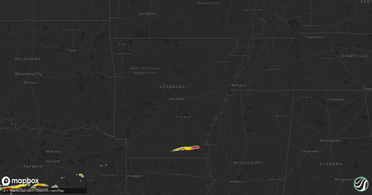
Hail Map in Arkansas on October 14, 2018
Get this storm
October 14 map
$229
one time, instant access
Download today. No call, no setup
Keep the $229
Bought the map and want the full workflow? Apply the entire $229 to a subscription within 7 days. None of it is wasted.
Every map, not just this one
This buys you this map. Subscription and you get every map we run, in the markets you choose from a few cities to whole states to nationwide. Plus real-time alerts the moment a storm fires.
Contact data
Name, contact info, occupancy, even credit band for addresses in the footprint. You go from where it hit to who to call.
Become the source they trust
Unlimited branding weather history reports on demand. You already have the documented answer ready for the property owner, and you are the one who showed up with it.
Property data and RoofTrace estimates
Pull up any address you have got, its value and the exact code rules for that jurisdiction, straight from One Click Code. Then RoofTrace estimates the squares, pitch, and roof value, priced the way you price.
Storm reports in Arkansas
Arkansas
| Date | Description |
|---|---|
| 10/14/20186:55 PM CDT | A tree was blown down across ar highway 133 near county road 95. A few additional trees were blown down along county roads in the milo area. |
| 10/14/20182:49 AM CDT | At 749 PM CDT, a severe thunderstorm was located over Montrose, or 11 miles west of Lake Village, moving east at 25 mph. HAZARD...60 mph wind gusts and half dollar size hail. SOURCE...Radar indicated. IMPACT...Hail damage to vehicles is expected. Expect wind damage to roofs, siding, and trees. This severe thunderstorm will be near... Lake Village and Mcmillan Corner around 815 PM CDT. |
| 10/14/20182:11 AM CDT | At 711 PM CDT, a severe thunderstorm was located near Hamburg, moving east at 25 mph. HAZARD...60 mph wind gusts and quarter size hail. SOURCE...Radar indicated. IMPACT...Hail damage to vehicles is expected. Expect wind damage to roofs, siding, and trees. This severe thunderstorm will be near... Snyder around 730 PM CDT. Portland around 740 PM CDT. Montrose around 745 PM CDT. |
| 10/14/20181:33 AM CDT | At 633 PM CDT, a severe thunderstorm was located 8 miles northwest of West Crossett, moving east at 30 mph. HAZARD...60 mph wind gusts and quarter size hail. SOURCE...Radar indicated. IMPACT...Hail damage to vehicles is expected. Expect wind damage to roofs, siding, and trees. This severe thunderstorm will be near... North Crossett around 650 PM CDT. Old Milo around 700 PM CDT. Fountain Hill around 705 PM CDT. Hamburg around 710 PM CDT.Other locations impacted by this severe thunderstorm includeBlanchton. |
| 10/14/20181:31 AM CDT | At 631 PM CDT, a severe thunderstorm was located 9 miles south of Ingalls, or 9 miles northwest of West Crossett, moving east at 35 mph. HAZARD...60 mph wind gusts and quarter size hail. SOURCE...Radar indicated. IMPACT...Hail damage to vehicles is expected. Expect wind damage to roofs, siding, and trees. Locations impacted include... Johnsonville... Blanchton... Vick... |
Cities Impacted by Hail Map on October 14, 2018
- Winters, TX
- Norton, TX
- Ballinger, TX
- Coleman, TX
- Miles, TX
- Burkett, TX
- Talpa, TX
- Novice, TX
- Bronte, TX
- Montrose, AR
- Hamburg, AR
- Stephenville, TX
- Hico, TX
- Glen Rose, TX
- Walnut Springs, TX
- Hermitage, AR
- Ben Wheeler, TX
- Van, TX
- Lindale, TX
- Tyler, TX
- Morgan, TX
- Kopperl, TX
- Lohn, TX
- Rochelle, TX
- Milford, TX
- Dublin, TX
- Bynum, TX
- Bluff Dale, TX
- Itasca, TX
- Mertens, TX
- Cleburne, TX
- Iredell, TX
- Frost, TX
- Covington, TX
- De Leon, TX
- Meridian, TX
- Comanche, TX
- Nemo, TX
- Grandview, TX
- Italy, TX
- Hillsboro, TX
- Whitney, TX
- Rio Vista, TX
- Blum, TX
- Clyde, TX
- Gilmer, TX
- Portland, AR
- Crossett, AR
- Scurry, TX
- Kemp, TX
- Evant, TX
- Hamilton, TX
- Ore City, TX
- Brownsboro, TX
- Cisco, TX
- Eastland, TX
- Barry, TX
- Corsicana, TX
- Blooming Grove, TX
- Canton, TX
- El Dorado, AR
- Fountain Hill, AR
- Strong, AR
- Jersey, AR
- Baird, TX
- Christoval, TX
- Brownwood, TX
- Rising Star, TX
- Mingus, TX
- Cross Plains, TX
- Eldorado, TX
- Lake Village, AR


