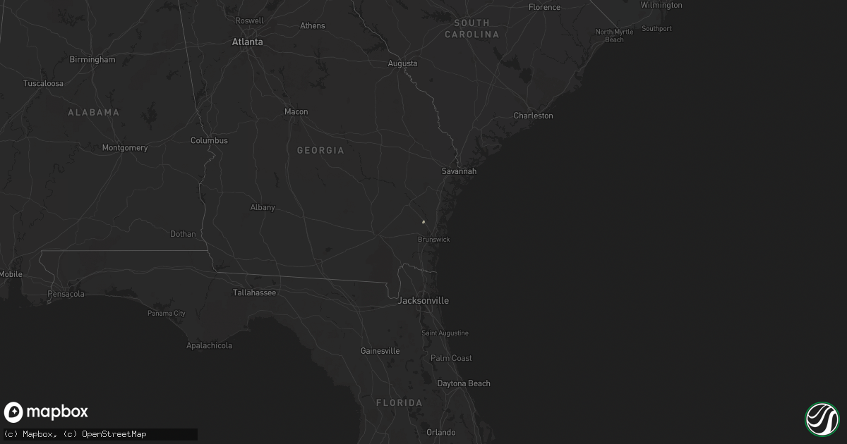
Hail Map in Georgia on October 14, 2014
Get this storm
October 14 map
$229
one time, instant access
Download today. No call, no setup
Keep the $229
Bought the map and want the full workflow? Apply the entire $229 to a subscription within 7 days. None of it is wasted.
Every map, not just this one
This buys you this map. Subscription and you get every map we run, in the markets you choose from a few cities to whole states to nationwide. Plus real-time alerts the moment a storm fires.
Contact data
Name, contact info, occupancy, even credit band for addresses in the footprint. You go from where it hit to who to call.
Become the source they trust
Unlimited branding weather history reports on demand. You already have the documented answer ready for the property owner, and you are the one who showed up with it.
Property data and RoofTrace estimates
Pull up any address you have got, its value and the exact code rules for that jurisdiction, straight from One Click Code. Then RoofTrace estimates the squares, pitch, and roof value, priced the way you price.
Storm reports in Georgia
Georgia
| Date | Description |
|---|---|
| 10/14/20144:13 PM CDT | Effingham 911 call center reported one tree down along mccall road. |
| 10/14/20144:08 PM CDT | Thunderstorm winds downed powerlines near the pilot travel center near i-16 and dean forest road. |
| 10/14/20144:00 PM CDT | Tree down at intersection of trade hill rd and islands hwy. Time estimated by radar. |
| 10/14/20143:50 PM CDT | Several trees down on shellman bluff rd. Time estimated from radar. |
| 10/14/20143:30 PM CDT | Liberty county warning point reported that a tree was blown down onto live oak drive. One lane of the road was blocked. Time was estimated from radar data. |
| 10/14/20143:30 PM CDT | Liberty county warning point reported that a tree was blown down on maxwelton circle. Time was estimated from radar data. |
| 10/14/20142:30 PM CDT | Two trees reported down and powerlines also affected by fallen tree limbs. |
| 10/14/20141:55 PM CDT | Tree down on powerline near horntree rd. |
| 10/14/20141:40 PM CDT | One tree down on dorothy street and another tree fell on a vehicle in the city of waycross. |
| 10/14/201412:40 PM CDT | Small tree limbs down west part of county. Time estimated by radar data. |
| 10/14/201411:40 AM CDT | Power line down in barwick |
| 10/14/201411:11 AM CDT | Trees down on highway 3 |
| 10/14/20147:27 AM CDT | Skywarn spotter driving along i-20 nne of thomson reported a few trees down along the interstate. |


