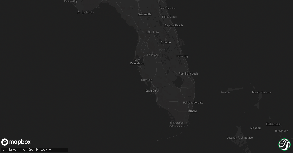
Hail Map on October 14, 2014
Get this storm
October 14 map
$229
one time, instant access
Download today. No call, no setup
Keep the $229
Bought the map and want the full workflow? Apply the entire $229 to a subscription within 7 days. None of it is wasted.
Every map, not just this one
This buys you this map. Subscription and you get every map we run, in the markets you choose from a few cities to whole states to nationwide. Plus real-time alerts the moment a storm fires.
Contact data
Name, contact info, occupancy, even credit band for addresses in the footprint. You go from where it hit to who to call.
Become the source they trust
Unlimited branding weather history reports on demand. You already have the documented answer ready for the property owner, and you are the one who showed up with it.
Property data and RoofTrace estimates
Pull up any address you have got, its value and the exact code rules for that jurisdiction, straight from One Click Code. Then RoofTrace estimates the squares, pitch, and roof value, priced the way you price.
States Impacted by Hail Map on October 14, 2014
Storm reports
Florida
| Date | Description |
|---|---|
| 10/14/20146:35 PM CDT | Pool screen and mailbox blown down on folcroft lane in palm coast. |
| 10/14/20146:10 PM CDT | Tree was down across the road in the haw creek area. Time based on radar data. |
| 10/14/20143:13 PM CDT | Tree down on amelia road in fernandina beach. |
| 10/14/20142:36 PM CDT | Duval county emergency management relayed a few sporadic reports of wires and trees down on the west and north side of downtown jacksonville. |
| 10/14/20142:35 PM CDT | Large tree down in hilliard. |
| 10/14/20142:20 PM CDT | A tv meteorologist received a report of a tree down in oakleaf that has merchants way closed. The time of the report was based on radar. |
| 10/14/20142:18 PM CDT | Tree down on road at the intersection of henry lee rd. And cr 121. |
| 10/14/20142:10 PM CDT | Tree down near argyle forest blvd. |
| 10/14/201412:45 PM CDT | Tree down near cr 249. |
| 10/14/201411:38 AM CDT | Power line down |
| 10/14/201411:20 AM CDT | Trees down on i-10 at mm 229 |
| 10/14/201410:40 AM CDT | Tree down on tram road east of capital circle. |
| 10/14/201410:30 AM CDT | Tree down on tram road east of capital circle. |
| 10/14/201410:30 AM CDT | Power pole snapped on cooperwood along with roof damage to a house |
| 10/14/201410:28 AM CDT | Several trees down in wakulla county. |
| 10/14/201410:18 AM CDT | Roof damage to home near whiddon lake road and zion hills road |
| 10/14/20149:15 AM CDT | Retired nws employee reported 4 to 5 trees down across munson trails near woodville highway. Time estimated. |
Georgia
| Date | Description |
|---|---|
| 10/14/20144:13 PM CDT | Effingham 911 call center reported one tree down along mccall road. |
| 10/14/20144:08 PM CDT | Thunderstorm winds downed powerlines near the pilot travel center near i-16 and dean forest road. |
| 10/14/20144:00 PM CDT | Tree down at intersection of trade hill rd and islands hwy. Time estimated by radar. |
| 10/14/20143:50 PM CDT | Several trees down on shellman bluff rd. Time estimated from radar. |
| 10/14/20143:30 PM CDT | Liberty county warning point reported that a tree was blown down on maxwelton circle. Time was estimated from radar data. |
| 10/14/20143:30 PM CDT | Liberty county warning point reported that a tree was blown down onto live oak drive. One lane of the road was blocked. Time was estimated from radar data. |
| 10/14/20142:30 PM CDT | Two trees reported down and powerlines also affected by fallen tree limbs. |
| 10/14/20141:55 PM CDT | Tree down on powerline near horntree rd. |
| 10/14/20141:40 PM CDT | One tree down on dorothy street and another tree fell on a vehicle in the city of waycross. |
| 10/14/201412:40 PM CDT | Small tree limbs down west part of county. Time estimated by radar data. |
| 10/14/201411:40 AM CDT | Power line down in barwick |
| 10/14/201411:11 AM CDT | Trees down on highway 3 |
| 10/14/20147:27 AM CDT | Skywarn spotter driving along i-20 nne of thomson reported a few trees down along the interstate. |
Tennessee
| Date | Description |
|---|---|
| 10/14/20147:30 AM CDT | Couple trees down in the pine mountain area. |
| 10/14/20147:15 AM CDT | Wind gust of 65 mph at the noaa wind tower at camp creek elementary school. |
South Carolina
| Date | Description |
|---|---|
| 10/14/20145:52 PM CDT | Tree in roadway near doctors creek road and bells hwy. Report from sc highway patrol. |
| 10/14/20145:51 PM CDT | South carolina highway patrol reported a tree down at the intersection of cooks hill road and rodeo drive. Time was estimated from radar data. |
| 10/14/20144:34 PM CDT | Tree down in roadway near the intersection of john st. And moorer ave. Report from sc highway patrol. |
| 10/14/20142:42 PM CDT | A tree down on casey creek rd near cherokee circle. |
| 10/14/20142:40 PM CDT | A tree down on marshall tucker road near old mills bridge road. Time estimated by radar. |
| 10/14/201410:42 AM CDT | A tree down on casey creek rd near cherokee circle. |
| 10/14/201410:40 AM CDT | A tree down on marshall tucker road near old mills bridge road. Time estimated by radar. |
| 10/14/20147:55 AM CDT | Five trees and large limbs from surrounding trees down. Time associated from radar data. Report from social media. |
| 10/14/20147:45 AM CDT | One tree down on rosedale drive. |
| 10/13/20147:00 PM CDT | Spotter reported that a large oak tree on cottage road was snapped off about 4 feet above the ground. Falling tree severed an overhead cable line leading to residence. |
| 10/13/20147:00 PM CDT | A weak ef-0 tornado snapped off several trees...knocked down several more trees and blew off a shed roof along a discontinuous path of nine tenths of a mile. |
Virginia
| Date | Description |
|---|---|
| 10/14/20146:15 AM CDT | Tree down. 1300 catlett mountain road. |
| 10/14/20146:00 AM CDT | Tree blocking route 638. |
| 10/14/20145:23 AM CDT | Tree down in the roadway at rocky ln and browntown rd. |
| 10/14/20145:23 AM CDT | Tree down. 1300 catlett mountain road. |
| 10/14/20144:46 AM CDT | Tree down over road. |
| 10/14/201412:47 AM CDT | 3 trees down. Time from radar. |
| 10/14/201412:34 AM CDT | Tree down near intersection of bourne rd and lee ford camp rd. Time estimated from radar. |
| 10/13/201411:39 PM CDT | Tree down on julia simpkins rd. Time estimated from radar. |
| 10/13/201411:30 PM CDT | Tree down |
| 10/13/201411:15 PM CDT | Tree down on route 659. Time estimated from radar. |
| 10/13/201411:10 PM CDT | Tree down on burnett rd. Time estimated from radar. |
| 10/13/201411:03 PM CDT | Tree down on trapper rd. Time estimated from radar. |
| 10/13/201410:25 PM CDT | Multiple large tree limbs down on north 15th street |
West Virginia
| Date | Description |
|---|---|
| 10/14/20144:06 AM CDT | Trees down. Route 220. |
North Carolina
| Date | Description |
|---|---|
| 10/13/20149:56 PM CDT | Multiple trees down in piney creek...also reports of numerous trees down throughout the county |
| 10/13/20149:08 PM CDT | Six trees blown down near drexel road and hwy 70 in the drexel community. |
| 10/13/20149:04 PM CDT | Trees blown down on duckworth circle. |
| 10/13/20147:50 PM CDT | A survey team from wfo greenville-spartanburg determined that an ef-0 tornado occurred during the evening hours of 14 october 2014. The tornado was about 350 ft wide an |