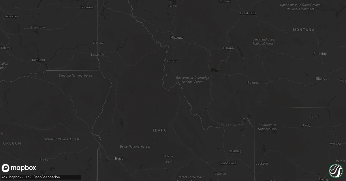
Hail Map in Idaho on October 7, 2021
Get this storm
October 7 map
$229
one time, instant access
Download today. No call, no setup
Keep the $229
Bought the map and want the full workflow? Apply the entire $229 to a subscription within 7 days. None of it is wasted.
Every map, not just this one
This buys you this map. Subscription and you get every map we run, in the markets you choose from a few cities to whole states to nationwide. Plus real-time alerts the moment a storm fires.
Contact data
Name, contact info, occupancy, even credit band for addresses in the footprint. You go from where it hit to who to call.
Become the source they trust
Unlimited branding weather history reports on demand. You already have the documented answer ready for the property owner, and you are the one who showed up with it.
Property data and RoofTrace estimates
Pull up any address you have got, its value and the exact code rules for that jurisdiction, straight from One Click Code. Then RoofTrace estimates the squares, pitch, and roof value, priced the way you price.
Storm reports in Idaho
Idaho
| Date | Description |
|---|---|
| 10/07/20215:00 PM CDT | Hail around one inch accumulated to a depth of a few inches across the roadway and surrounding fields along and around i-77. |
| 10/07/202112:14 AM CDT | At 514 PM MDT, a severe thunderstorm was located 10 miles south of Cold Water Rest Area, or 18 miles northeast of Malta, moving east at 25 mph. HAZARD...Quarter size hail. SOURCE...Radar indicated. IMPACT...Damage to vehicles is expected. Locations impacted include... Rockland. |
| 10/06/202111:41 PM CDT | At 441 PM MDT, a severe thunderstorm was located 8 miles north of Malta, moving east at 20 mph. HAZARD...60 mph wind gusts and quarter size hail. SOURCE...Radar indicated. IMPACT...Hail damage to vehicles is expected. Expect wind damage to roofs, siding, and trees. Locations impacted include... Idahome. |
| 10/06/202110:54 PM CDT | At 354 PM MDT, a severe thunderstorm was located near Albion, or 13 miles west of Malta, moving east at 35 mph. HAZARD...60 mph wind gusts and quarter size hail. SOURCE...Radar indicated. IMPACT...Hail damage to vehicles is expected. Expect wind damage to roofs, siding, and trees. Locations impacted include... Malta, Albion, Sublett Reservoir, Mt Harrison, Yale Rest Area and Idahome. |
| 10/06/20219:35 PM CDT | At 233 PM MDT, a severe thunderstorm was located 15 miles east of Rogerson, or 20 miles west of Oakley Reservoir, moving east at 30 mph. HAZARD...60 mph wind gusts and quarter size hail. SOURCE...Radar indicated. IMPACT...Hail damage to vehicles is expected. Expect wind damage to roofs, siding, and trees. This severe thunderstorm will remain over mainly rural areas of west central Cassia County. |
Cities Impacted by Hail Map on October 7, 2021
- Deputy, IN
- Madison, IN
- Ocilla, GA
- Ambrose, GA
- Fitzgerald, GA
- Wray, GA
- Charleston, IL
- Tuscola, IL
- Arthur, IL
- Arcola, IL
- Albion, ID
- Malta, ID
- Dublin, GA
- Pana, IL
- Dexter, GA
- Rentz, GA
- Cadwell, GA
- Eastman, GA
- Chester, GA
- Moweaqua, IL
- Unadilla, GA
- Assumption, IL
- Bethany, IL
- Oakley, ID
- Douglas, GA
- Broxton, GA
- Cochran, GA
- Ashmore, IL
- Vienna, GA
- Cairo, GA
- Hawkinsville, GA
- Pinehurst, GA


