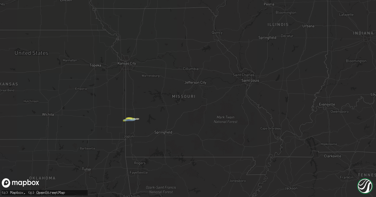
Hail Map in Missouri on September 28, 2019
Get this storm
September 28 map
$229
one time, instant access
Download today. No call, no setup
Keep the $229
Bought the map and want the full workflow? Apply the entire $229 to a subscription within 7 days. None of it is wasted.
Every map, not just this one
This buys you this map. Subscription and you get every map we run, in the markets you choose from a few cities to whole states to nationwide. Plus real-time alerts the moment a storm fires.
Contact data
Name, contact info, occupancy, even credit band for addresses in the footprint. You go from where it hit to who to call.
Become the source they trust
Unlimited branding weather history reports on demand. You already have the documented answer ready for the property owner, and you are the one who showed up with it.
Property data and RoofTrace estimates
Pull up any address you have got, its value and the exact code rules for that jurisdiction, straight from One Click Code. Then RoofTrace estimates the squares, pitch, and roof value, priced the way you price.
Storm reports in Missouri
Missouri
| Date | Description |
|---|---|
| 09/28/20195:22 AM CDT | At 1022 PM CDT, severe thunderstorms were located along a line extending from 8 miles northeast of Stover to 8 miles south of Versailles to Laurie to 8 miles north of Macks Creek, moving east at 25 mph. HAZARD...60 mph wind gusts. SOURCE...Radar indicated. IMPACT...Expect damage to roofs, siding, and trees. Locations impacted include... Lake of The Ozarks... Eldon... Osage Beach... Versailles... Village of Four Seasons... Lake Ozark... Laurie... Sunrise Beach... Macks Creek... Preston... Barnett... Gravois Mills... Bagnell... Rocky Mount... Green Bay Terrace... Lakeview... Hurricane Deck... Branch... Barnumton... Purvis... |
| 09/28/20195:04 AM CDT | At 1004 PM CDT, severe thunderstorms were located along a line extending from near Stover to 12 miles northwest of Laurie to 12 miles northwest of Macks Creek, moving northeast at 40 mph. HAZARD...60 mph wind gusts. SOURCE...Radar indicated. IMPACT...Expect damage to roofs, siding, and trees. Locations impacted include... Lake of The Ozarks... Stover... Climax Springs... Crockerville... |
| 09/28/20194:55 AM CDT | At 955 PM CDT, a severe thunderstorm was located over Wheatland, or near Hermitage, moving east at 35 mph. HAZARD...60 mph wind gusts. SOURCE...Radar indicated. IMPACT...Expect damage to roofs, siding, and trees. Locations impacted include... Pomme de Terre Lake... Pomme De Terre State Park... Hermitage... Wheatland... Preston... Cross Timbers... Elkton... |
| 09/28/20194:51 AM CDT | At 951 PM CDT, a severe thunderstorm was located 12 miles southeast of Warsaw, moving northeast at 30 mph. HAZARD...60 mph wind gusts. SOURCE...Radar indicated. IMPACT...Expect damage to roofs, siding, and trees. Locations impacted include... Knobby... Edwards... Hastain... |
| 09/28/20194:35 AM CDT | At 934 PM CDT, a severe thunderstorm was located near Lincoln, or 9 miles northeast of Warsaw, moving northeast at 20 mph. HAZARD...60 mph wind gusts. SOURCE...Radar indicated. IMPACT...Expect damage to roofs, siding, and trees. Locations impacted include... Crockerville... Edmonson... Zora... Lakeview Heights... |
| 09/28/20194:25 AM CDT | At 924 PM CDT, a severe thunderstorm was located near Lamar, moving east at 25 mph. HAZARD...60 mph wind gusts and half dollar size hail. SOURCE...Radar indicated. IMPACT...Hail damage to vehicles is expected. Expect wind damage to roofs, siding, and trees. Locations impacted include... Lamar... Jerico Springs... Lamar Heights... Irwin... Arcola... Milford... Neola... Cedarville... Sylvania... This includes Interstate 49 between mile markers 66 and 74. |
| 09/28/20194:17 AM CDT | At 917 PM CDT, a severe thunderstorm was located 8 miles northwest of Wheatland, or 12 miles northwest of Hermitage, moving east at 35 mph. HAZARD...60 mph wind gusts. SOURCE...Radar indicated. IMPACT...Expect damage to roofs, siding, and trees. Locations impacted include... Truman Lake... Wheatland... Cross Timbers... Gerster... Quincy... Harper... Fristoe... |
| 09/28/20193:47 AM CDT | At 846 PM CDT, a severe thunderstorm was located near Osceola, or 19 miles south of Clinton, moving northeast at 30 mph. HAZARD...60 mph wind gusts. SOURCE...Radar indicated. IMPACT...Expect damage to roofs, siding, and trees. Locations impacted include... Truman Lake... Osceola... Lowry City... Roscoe... Vista... Gerster... Harper... Iconium... Monegaw Springs... |
| 09/28/20193:24 AM CDT | At 824 PM CDT, a severe thunderstorm was located 10 miles west of Warsaw, moving east at 25 mph. HAZARD...60 mph wind gusts. SOURCE...Radar indicated. IMPACT...Expect damage to roofs, siding, and trees. Locations impacted include... Truman Lake... Truman State Park... Warsaw... Edmonson... Lakeview Heights... Hastain... Zora... Whitakerville... |
| 09/28/20193:16 AM CDT | At 816 PM CDT, a severe thunderstorm was located 9 miles east of Clinton, moving northeast at 25 mph. HAZARD...60 mph wind gusts and quarter size hail. SOURCE...Radar indicated. IMPACT...Hail damage to vehicles is expected. Expect wind damage to roofs, siding, and trees. Locations impacted include... Truman Lake... Truman State Park... Lincoln... Cole Camp... Ionia... Palo Pinto... Racket... Mora... Brandon... Crockerville... |
| 09/27/20199:25 PM CDT | Time estimated from radar. |
| 09/27/20199:07 PM CDT | Time estimated from radar. |
| 09/27/20198:53 PM CDT | Liberal... Mo resident reported multiple large tree branches down in her yard. Time estimated from radar. |
All States Impacted by Hail Map on September 28, 2019
Cities Impacted by Hail Map on September 28, 2019
- Sudan, TX
- Liberal, MO
- Lamar, MO
- Hobbs, NM
- Lovington, NM
- Salem, VA
- Higgins, TX
- Lipscomb, TX
- Laverne, OK
- Fargo, OK
- May, OK
- Pittsburgh, PA
- Carnegie, PA
- Coraopolis, PA
- Morgan, PA
- McDonald, PA
- Bridgeville, PA
- Oakdale, PA
- Imperial, PA
- Bethel Park, PA
- Presto, PA
- Booker, TX
- Eunice, NM
- Covington, VA
- Carlsbad, NM
- Elk Creek, VA
- Catawba, VA
- Cambridge, OH
- Sperryville, VA
- Woodville, VA
- Roanoke, VA
- Clinton, PA
- Perryton, TX
- Boones Mill, VA
- Salesville, OH
- Lore City, OH
- Woodland, CA
- Amherst, TX
- Jal, NM
- New Castle, VA
- Draper, VA
- Radford, VA
- Hiwassee, VA
- Galax, VA
- Hardy, VA
- Elizabeth, PA
- Newport, VA
- Sewickley, PA
- Finleyville, PA
- South Park, PA
- Clairton, PA
- Seminole, TX
- Buffalo, OK
- Canadian, TX
- Monroeville, PA
- New Kensington, PA
- Bentleyville, PA
- Causey, NM
- Fincastle, VA
- Eighty Four, PA
- Carlisle, PA
- Troutville, VA
- Daleville, VA
- Washington, PA
- Lander, WY
- Verona, PA
- Scenery Hill, PA
- Glenshaw, PA
- Monongahela, PA
- Hanover, KS
- Follett, TX
- Hummelstown, PA
- Palmyra, PA
- Annville, PA
- Grantville, PA
- Blacksburg, VA
- Murrysville, PA
- Davis, CA
- Arma, KS
- Mulberry, KS
- Franklin, KS
- Mindenmines, MO
- Beallsville, OH
- Woodsfield, OH
- Kipling, OH
- Jerusalem, OH
- Barnesville, OH
- Senecaville, OH
- Quaker City, OH
- New Concord, OH
- Export, PA
- Jeannette, PA
- Trafford, PA
- Cuddy, PA
- Sturgeon, PA
- Jacksonburg, WV
- Reader, WV
- Middlebourne, WV
- Pine Grove, WV
- Smithfield, WV
- New Martinsville, WV
- Paden City, WV
- Sardis, OH
- Porters Falls, WV
- Earth, TX
- Muleshoe, TX
- Dimmitt, TX
- Miami, TX
- Castleton, VA
- Rixeyville, VA
- Boston, VA
- Washington, VA
- Amissville, VA
- Willis, VA
- Floyd, VA
- Indian Valley, VA
- Pulaski, VA
- Dublin, VA
- Culpeper, VA
- Enochs, TX
- Pecos, TX
- Denver City, TX
- Plains, TX
- Tokio, TX
- Pampa, TX
- Cordell, OK
- Mountain View, OK
- Gotebo, OK
- Spearman, TX
- Sunray, TX
- Dumas, TX
- Morse, TX
- East Liverpool, OH
- Wellsville, OH
- New Cumberland, WV
- Georgetown, PA
- Chester, WV
- Newell, WV
- Bunola, PA
- Elrama, PA
- Harrison City, PA
- Irwin, PA
- Hershey, PA


