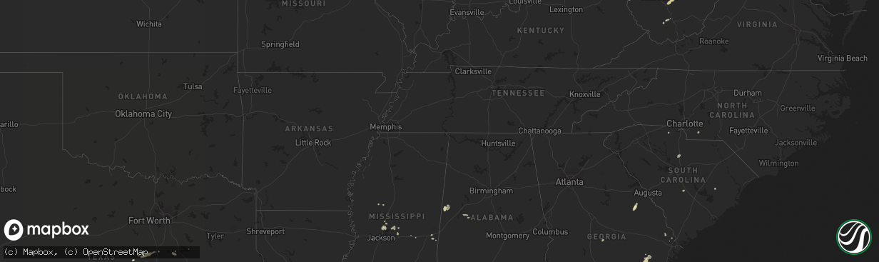
Hail Map in West Virginia on September 26, 2011
The weather event in West Virginia on September 26, 2011 includes Hail map. 11 states and 202 cities were impacted and suffered possible damage. The total estimated number of properties impacted is 0.
Want more than just the map?
Turn this storm into a full workflow.
- Owner + property data so you know who to knock
- OnDemand branded weather history reports to win the "did we even have hail?" argument
- RoofTrace estimate so reps stop guessing numbers at the door
Bought this map? Upgrade within 7 days and we'll credit the $230. (10-15 min setup call)
Hail
0
Estimated number of impacted properties by a 1.00" hail or larger0
Estimated number of impacted properties by a 1.75" hail or larger0
Estimated number of impacted properties by a 2.50" hail or largerStorm reports in West Virginia
West Virginia
| Date | Description |
|---|---|
| 09/26/20114:07 PM CDT | Tree down along rt 8 se of community of nobe. |
| 09/26/20114:05 PM CDT | A local report indicates 1.00 inch wind near GLEN DANIEL |
| 09/26/20114:01 PM CDT | A local report indicates 1.00 inch wind near FAIRDALE |
| 09/26/20113:56 PM CDT | Tree down along wv st rt 5 |
| 09/26/20113:55 PM CDT | Tree down along county rt 18 |
| 09/26/201112:45 PM CDT | Mostly dime size hail with quarter size mix in. Very heavy rain and very gusty winds. Cars had to pull off side of i-64 some cars in the median. |
| 09/26/201112:24 PM CDT | A local report indicates 1.00 inch wind near PEA RIDGE |
| 09/26/201112:15 PM CDT | Mostly dime size hail with quarter size mix in. Very heavy rain and very gusty winds. Cars had to pull off side of i-64 some cars in the median. Between 115pm - 120pm |
All States Impacted by Hail Map on September 26, 2011
Cities Impacted by Hail Map on September 26, 2011
- Gatesville, TX
- Jefferson, OH
- Austinburg, OH
- Rock Creek, OH
- Valley Mills, TX
- Florence, TX
- Guyton, GA
- Crown City, OH
- Arnoldsburg, WV
- Mount Zion, WV
- Spencer, WV
- Gandeeville, WV
- Grantsville, WV
- Millstone, WV
- Georgetown, TX
- Liberty Hill, TX
- Beaver Falls, PA
- Beaver, PA
- Louisville, GA
- Aliceville, AL
- Lake, MS
- Lawrence, MS
- Waverly, GA
- Jonesboro, TX
- Darlington, PA
- Industry, PA
- Sharon, SC
- York, SC
- Dawson, TX
- Purdon, TX
- Bartlett, TX
- Jarrell, TX
- Granger, TX
- Screven, GA
- Dixie, GA
- Quitman, GA
- Clifton, TX
- Dorset, OH
- Pierpont, OH
- Andover, OH
- Hartstown, PA
- Jamestown, PA
- Glennville, GA
- Salters, SC
- Lane, SC
- Hooversville, PA
- Seanor, PA
- Stoystown, PA
- Central City, PA
- Salix, PA
- Hollsopple, PA
- Elton, PA
- Johnstown, PA
- Cairnbrook, PA
- Windber, PA
- Winnsboro, SC
- Lampasas, TX
- Saint Marys, GA
- Kings Bay, GA
- Meridian, MS
- Duncansville, PA
- Whitney, TX
- Townsend, GA
- Barboursville, WV
- Prichard, WV
- Glenwood, WV
- Wayne, WV
- Lavalette, WV
- Ona, WV
- Milton, WV
- Kenova, WV
- Huntington, WV
- Jacksonville, FL
- Cedar Grove, WV
- Canton, MS
- Big Springs, WV
- Lakeland, FL
- Polk City, FL
- Bertram, TX
- Greenville, FL
- Brunswick, GA
- Darien, GA
- Rincon, GA
- Live Oak, FL
- O'Brien, FL
- McAlpin, FL
- Wrens, GA
- Marshville, NC
- Bronson, FL
- Ludowici, GA
- Odum, GA
- Jesup, GA
- Yulee, FL
- Fernandina Beach, FL
- Kerens, TX
- Martins Ferry, OH
- Bridgeport, OH
- Wheeling, WV
- Fairdale, WV
- Lester, WV
- Glen Daniel, WV
- Bolt, WV
- Beckley, WV
- Wampum, PA
- Midland, PA
- Georgetown, PA
- Ellwood City, PA
- Koppel, PA
- Madison, MS
- Bell, FL
- Conneautville, PA
- Mayo, FL
- Copperas Cove, TX
- Lesage, WV
- Springfield, GA
- Ravencliff, WV
- Glen Fork, WV
- Brooksville, FL
- Corsicana, TX
- Ashton, WV
- Proctorville, OH
- Fraziers Bottom, WV
- South Point, OH
- Chesapeake, OH
- Midway, GA
- Linesville, PA
- Springboro, PA
- Moundville, AL
- Orwell, OH
- Williamsfield, OH
- Rome, OH
- Chester, WV
- East Liverpool, OH
- New Brighton, PA
- Evans City, PA
- Zelienople, PA
- Fombell, PA
- Harmony, PA
- New Galilee, PA
- Morven, GA
- Hawkinsville, GA
- Eastman, GA
- Greensboro, AL
- Aquilla, TX
- Lexington, MS
- Middlefield, OH
- Bristolville, OH
- North Bloomfield, OH
- West Farmington, OH
- Pond Gap, WV
- Montgomery, WV
- Handley, WV
- London, WV
- Smithers, WV
- Dixie, WV
- Kingsland, GA
- Hollidaysburg, PA
- Altoona, PA
- East Freedom, PA
- Smithville, WV
- Coxs Mills, WV
- Auburn, WV
- Belton, TX
- Temple, TX
- Morton, MS
- Brandon, MS
- Lena, MS
- Adamsville, PA
- Woodbine, GA
- Meridian, TX
- Lizemores, WV
- Swiss, WV
- Mammoth, WV
- Hansford, WV
- Hillsboro, TX
- Abbott, TX
- Wortham, TX
- Eagletown, OK
- Reedy, WV
- Wingate, NC
- Raymond, MS
- Ponte Vedra Beach, FL
- Kinsman, OH
- Windham, OH
- Garrettsville, OH
- Ellisville, MS
- Inverness, FL
- Floral City, FL
- Callahan, FL
- Claysburg, PA
- Portage, PA
- New Milton, WV
- West Union, WV
- Salem, WV
- Keysville, GA
- Tchula, MS
- Newton, MS
- Altamonte Springs, FL
- Walton, WV
- Orangeburg, SC
- Troy, TX
- Madison, FL


