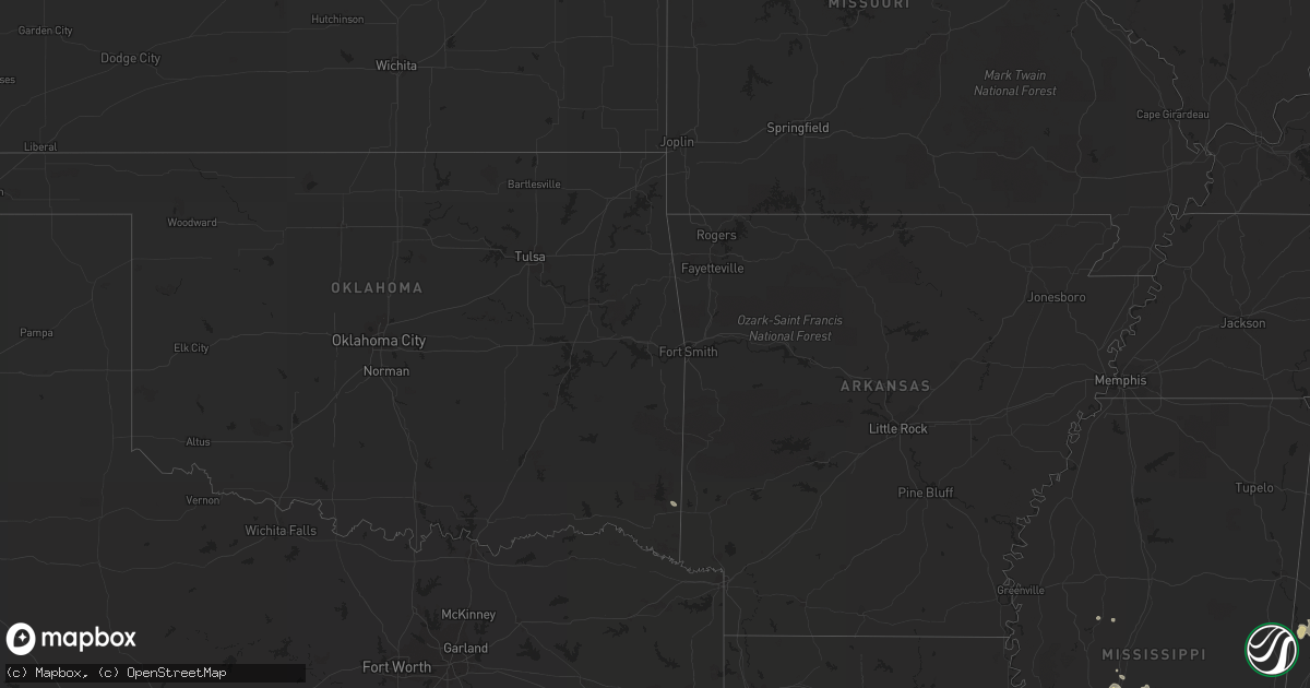
Hail Map on September 26, 2011
Get this storm
September 26 map
$229
one time, instant access
Download today. No call, no setup
Keep the $229
Bought the map and want the full workflow? Apply the entire $229 to a subscription within 7 days. None of it is wasted.
Every map, not just this one
This buys you this map. Subscription and you get every map we run, in the markets you choose from a few cities to whole states to nationwide. Plus real-time alerts the moment a storm fires.
Contact data
Name, contact info, occupancy, even credit band for addresses in the footprint. You go from where it hit to who to call.
Become the source they trust
Unlimited branding weather history reports on demand. You already have the documented answer ready for the property owner, and you are the one who showed up with it.
Property data and RoofTrace estimates
Pull up any address you have got, its value and the exact code rules for that jurisdiction, straight from One Click Code. Then RoofTrace estimates the squares, pitch, and roof value, priced the way you price.
States Impacted by Hail Map on September 26, 2011
Storm reports
West Virginia
| Date | Description |
|---|---|
| 09/26/20114:07 PM CDT | Tree down along rt 8 se of community of nobe. |
| 09/26/20114:05 PM CDT | A local report indicates 1.00 inch wind near GLEN DANIEL |
| 09/26/20114:01 PM CDT | A local report indicates 1.00 inch wind near FAIRDALE |
| 09/26/20113:56 PM CDT | Tree down along wv st rt 5 |
| 09/26/20113:55 PM CDT | Tree down along county rt 18 |
| 09/26/201112:45 PM CDT | Mostly dime size hail with quarter size mix in. Very heavy rain and very gusty winds. Cars had to pull off side of i-64 some cars in the median. |
| 09/26/201112:24 PM CDT | A local report indicates 1.00 inch wind near PEA RIDGE |
| 09/26/201112:15 PM CDT | Mostly dime size hail with quarter size mix in. Very heavy rain and very gusty winds. Cars had to pull off side of i-64 some cars in the median. Between 115pm - 120pm |
Florida
| Date | Description |
|---|---|
| 09/26/20114:00 PM CDT | Tree damage occurred on mccormick road. |
| 09/26/20114:00 PM CDT | The post office reported trees down near tarpon street. The time given was based on radar. |
| 09/26/20114:00 PM CDT | Trees were down on power lines causing power outages. The time of damage was based on radar imagery. |
Ohio
| Date | Description |
|---|---|
| 09/26/20115:35 PM CDT | A local report indicates 1.00 inch wind near 13 N ANDOVER |
| 09/26/20115:30 PM CDT | A local report indicates 1.75 inch wind near 9 N ANDOVER |
Texas
| Date | Description |
|---|---|
| 09/26/20116:44 PM CDT | Hail fell along highway 84 about 3 miles west of gatesville. |
| 09/25/201110:42 PM CDT | Kcrs asos |
| 09/25/20118:51 PM CDT | A local report indicates 1.00 inch wind near LAGUNA PARK |
| 09/25/20118:30 PM CDT | Powerlines down along ranch road 2338. |
| 09/25/20118:15 PM CDT | Ktpl |
| 09/25/20118:12 PM CDT | Estimated 60 to 65 mph wind gusts |
| 09/25/20118:12 PM CDT | Trees down and power flashes in temple |
| 09/25/20118:02 PM CDT | Several downed trees in belton |
| 09/25/20117:59 PM CDT | Power flashes also |
Pennsylvania
| Date | Description |
|---|---|
| 09/26/20115:21 AM CDT | A few trees down on wires with power outages. |
Kentucky
| Date | Description |
|---|---|
| 09/26/20118:40 AM CDT | Tree limbs across hwy 421. Highway dept. Called out to remove. |
Georgia
| Date | Description |
|---|---|
| 09/26/20114:15 PM CDT | Trees were blown down along pine forest drive. |
| 09/26/20113:55 PM CDT | Trees were down along walter griffis road. |
Virginia
| Date | Description |
|---|---|
| 09/25/20119:27 PM CDT | Trees down on ferrum mountain road. |
Cities Impacted by Hail Map on September 26, 2011
- Gatesville, TX
- Jefferson, OH
- Austinburg, OH
- Rock Creek, OH
- Valley Mills, TX
- Florence, TX
- Guyton, GA
- Crown City, OH
- Arnoldsburg, WV
- Mount Zion, WV
- Spencer, WV
- Gandeeville, WV
- Grantsville, WV
- Millstone, WV
- Georgetown, TX
- Liberty Hill, TX
- Beaver Falls, PA
- Beaver, PA
- Louisville, GA
- Aliceville, AL
- Lake, MS
- Lawrence, MS
- Waverly, GA
- Jonesboro, TX
- Darlington, PA
- Industry, PA
- Sharon, SC
- York, SC
- Dawson, TX
- Purdon, TX
- Bartlett, TX
- Jarrell, TX
- Granger, TX
- Screven, GA
- Dixie, GA
- Quitman, GA
- Clifton, TX
- Dorset, OH
- Pierpont, OH
- Andover, OH
- Hartstown, PA
- Jamestown, PA
- Glennville, GA
- Salters, SC
- Lane, SC
- Hooversville, PA
- Seanor, PA
- Stoystown, PA
- Central City, PA
- Salix, PA
- Hollsopple, PA
- Elton, PA
- Johnstown, PA
- Cairnbrook, PA
- Windber, PA
- Winnsboro, SC
- Lampasas, TX
- Saint Marys, GA
- Kings Bay, GA
- Meridian, MS
- Duncansville, PA
- Whitney, TX
- Townsend, GA
- Barboursville, WV
- Prichard, WV
- Glenwood, WV
- Wayne, WV
- Lavalette, WV
- Ona, WV
- Milton, WV
- Kenova, WV
- Huntington, WV
- Jacksonville, FL
- Cedar Grove, WV
- Canton, MS
- Big Springs, WV
- Lakeland, FL
- Polk City, FL
- Bertram, TX
- Greenville, FL
- Brunswick, GA
- Darien, GA
- Rincon, GA
- Live Oak, FL
- O'Brien, FL
- McAlpin, FL
- Wrens, GA
- Marshville, NC
- Bronson, FL
- Ludowici, GA
- Odum, GA
- Jesup, GA
- Yulee, FL
- Fernandina Beach, FL
- Kerens, TX
- Martins Ferry, OH
- Bridgeport, OH
- Wheeling, WV
- Fairdale, WV
- Lester, WV
- Glen Daniel, WV
- Bolt, WV
- Beckley, WV
- Wampum, PA
- Midland, PA
- Georgetown, PA
- Ellwood City, PA
- Koppel, PA
- Madison, MS
- Bell, FL
- Conneautville, PA
- Mayo, FL
- Copperas Cove, TX
- Lesage, WV
- Springfield, GA
- Ravencliff, WV
- Glen Fork, WV
- Brooksville, FL
- Corsicana, TX
- Ashton, WV
- Proctorville, OH
- Fraziers Bottom, WV
- South Point, OH
- Chesapeake, OH
- Midway, GA
- Linesville, PA
- Springboro, PA
- Moundville, AL
- Orwell, OH
- Williamsfield, OH
- Rome, OH
- Chester, WV
- East Liverpool, OH
- New Brighton, PA
- Evans City, PA
- Zelienople, PA
- Fombell, PA
- Harmony, PA
- New Galilee, PA
- Morven, GA
- Hawkinsville, GA
- Eastman, GA
- Greensboro, AL
- Aquilla, TX
- Lexington, MS
- Middlefield, OH
- Bristolville, OH
- North Bloomfield, OH
- West Farmington, OH
- Pond Gap, WV
- Montgomery, WV
- Handley, WV
- London, WV
- Smithers, WV
- Dixie, WV
- Kingsland, GA
- Hollidaysburg, PA
- Altoona, PA
- East Freedom, PA
- Smithville, WV
- Coxs Mills, WV
- Auburn, WV
- Belton, TX
- Temple, TX
- Morton, MS
- Brandon, MS
- Lena, MS
- Adamsville, PA
- Woodbine, GA
- Meridian, TX
- Lizemores, WV
- Swiss, WV
- Mammoth, WV
- Hansford, WV
- Hillsboro, TX
- Abbott, TX
- Wortham, TX
- Eagletown, OK
- Reedy, WV
- Wingate, NC
- Raymond, MS
- Ponte Vedra Beach, FL
- Kinsman, OH
- Windham, OH
- Garrettsville, OH
- Ellisville, MS
- Inverness, FL
- Floral City, FL
- Callahan, FL
- Claysburg, PA
- Portage, PA
- New Milton, WV
- West Union, WV
- Salem, WV
- Keysville, GA
- Tchula, MS
- Newton, MS
- Altamonte Springs, FL
- Walton, WV
- Orangeburg, SC
- Troy, TX
- Madison, FL