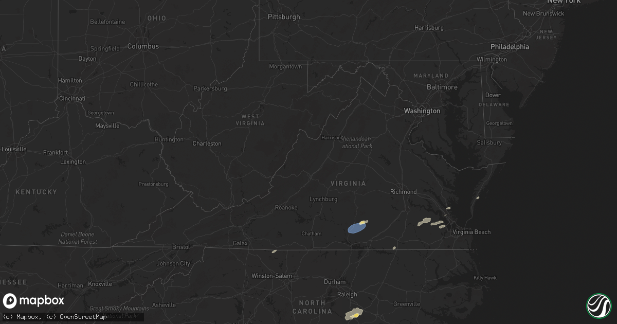
Hail Map in Virginia on September 25, 2025
Get this storm
September 25 map
$229
one time, instant access
Download today. No call, no setup
Keep the $229
Bought the map and want the full workflow? Apply the entire $229 to a subscription within 7 days. None of it is wasted.
Every map, not just this one
This buys you this map. Subscription and you get every map we run, in the markets you choose from a few cities to whole states to nationwide. Plus real-time alerts the moment a storm fires.
Contact data
Name, contact info, occupancy, even credit band for addresses in the footprint. You go from where it hit to who to call.
Become the source they trust
Unlimited branding weather history reports on demand. You already have the documented answer ready for the property owner, and you are the one who showed up with it.
Property data and RoofTrace estimates
Pull up any address you have got, its value and the exact code rules for that jurisdiction, straight from One Click Code. Then RoofTrace estimates the squares, pitch, and roof value, priced the way you price.
Storm reports in Virginia
Virginia
| Date | Description |
|---|---|
| 09/25/20255:15 PM CDT | Reports of trees down on route 9 north of purcellville... Tranquility road... And hillsboro road. Wires also down on hamilton station road. |
| 09/25/20255:15 PM CDT | Reports of trees down on route 9 north of purcel |
| 09/25/20253:20 PM CDT | *** 1 inj *** tree fell on a ups truck near the intersection of blounts corner rd and days point rd. Time estimated from radar. |
| 09/25/202512:10 AM CDT | A tree was reported downed onto powerlines on ontario road. Time is radar-estimated. |
| 09/25/202512:05 AM CDT | Multiple trees down along friendship church rd and w point stevens rd. |
| 09/24/202511:40 PM CDT | Multiple trees down in clover community. |
| 09/24/202510:00 PM CDT | Downed trees reported scattered across henry county. |
All States Impacted by Hail Map on September 25, 2025
Cities Impacted by Hail Map on September 25, 2025
- Livingston Manor, NY
- Roscoe, NY
- Richland, GA
- Forest Lakes, AZ
- Winslow, AZ
- Heber, AZ
- Show Low, AZ
- Saint David, AZ
- Huachuca City, AZ
- Tucson, AZ
- Daytona Beach, FL
- Kearny, AZ
- Port Orange, FL
- New Smyrna Beach, FL
- Sierra Vista, AZ
- Tombstone, AZ
- Elfrida, AZ
- Smithfield, VA
- Carrollton, VA
- Willcox, AZ
- Miami, AZ
- Bladenboro, NC
- Clarkton, NC
- Whiteville, NC
- Claypool, AZ
- Globe, AZ
- Deltona, FL
- San Manuel, AZ
- McNeal, AZ
- Vail, AZ
- Pearce, AZ
- Williams, AZ
- Douglas, AZ
- Shelby, NC
- Grover, NC
- Coats, NC
- Lillington, NC
- Supai, AZ
- Flagstaff, AZ
- Dunn, NC
- Benson, NC
- Erwin, NC
- Angier, NC
- Bowie, AZ
- Chesnee, SC
- Inman, SC
- Four Oaks, NC
- Campobello, SC
- Safford, AZ
- San Simon, AZ
- Arenas Valley, NM
- Silver City, NM
- Santa Clara, NM
- Smithfield, NC
- Cowpens, SC
- Mayo, SC
- Gaffney, SC
- Boiling Springs, SC
- Tyrone, NM
- Duncan, AZ
- Selma, NC
- Bayard, NM
- Hurley, NM
- Gaston, NC
- Emporia, VA
- Garysburg, NC
- Skippers, VA
- Sedona, AZ
- Saint George, UT
- Deming, NM
- Gloucester Point, VA
- Hayes, VA
- Danbury, NC
- Lawsonville, NC
- Tonto Basin, AZ
- Munds Park, AZ
- Birdsnest, VA
- Nassawadox, VA
- Rio Rico, AZ
- Mormon Lake, AZ
- Tumacacori, AZ
- Keysville, VA
- Victoria, VA
- Meherrin, VA
- Green Bay, VA
- Wylliesburg, VA
- Saxe, VA
- Red Oak, VA
- Drakes Branch, VA
- Chase City, VA
- Lunenburg, VA
- Dendron, VA
- Waverly, VA
- Wakefield, VA
- Elberon, VA
- Ivor, VA
- Newport News, VA
- Machipongo, VA
- Fort Mcdowell, AZ
- Peridot, AZ
- Oracle, AZ
- Mayer, AZ


