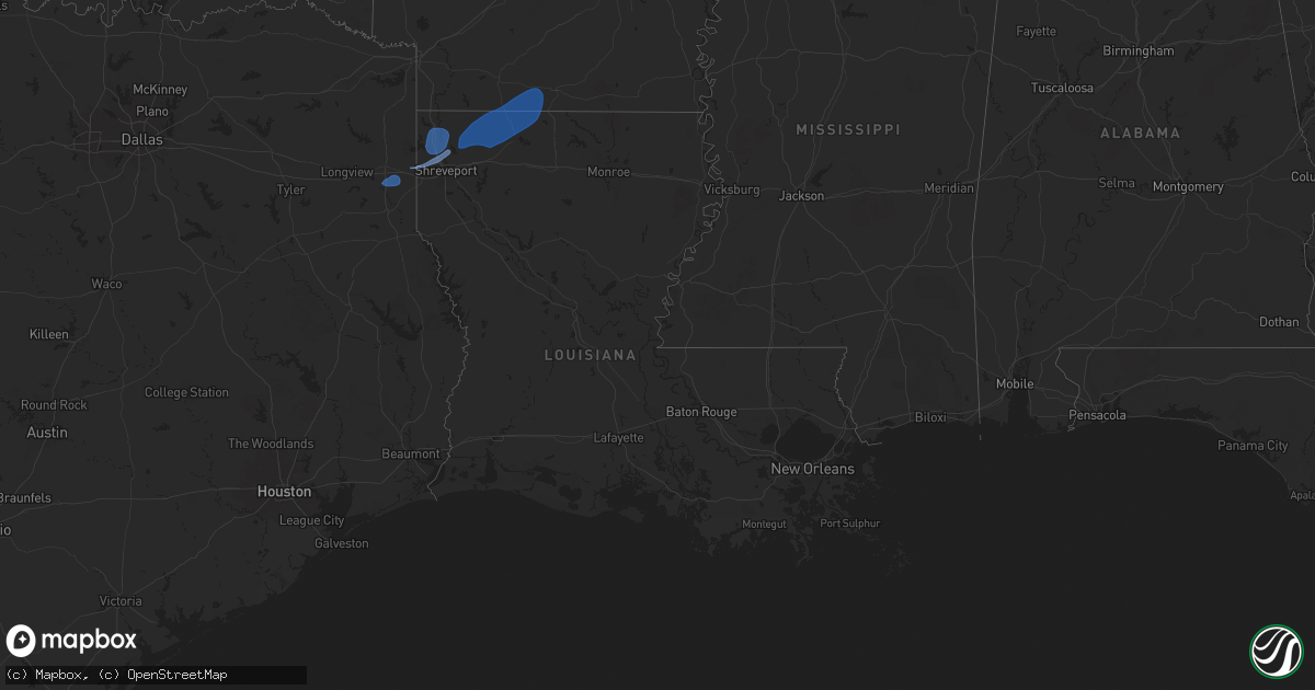
Hail Map in Louisiana on September 24, 2025
Get this storm
September 24 map
$229
one time, instant access
Download today. No call, no setup
Keep the $229
Bought the map and want the full workflow? Apply the entire $229 to a subscription within 7 days. None of it is wasted.
Every map, not just this one
This buys you this map. Subscription and you get every map we run, in the markets you choose from a few cities to whole states to nationwide. Plus real-time alerts the moment a storm fires.
Contact data
Name, contact info, occupancy, even credit band for addresses in the footprint. You go from where it hit to who to call.
Become the source they trust
Unlimited branding weather history reports on demand. You already have the documented answer ready for the property owner, and you are the one who showed up with it.
Property data and RoofTrace estimates
Pull up any address you have got, its value and the exact code rules for that jurisdiction, straight from One Click Code. Then RoofTrace estimates the squares, pitch, and roof value, priced the way you price.
Storm reports in Louisiana
Louisiana
| Date | Description |
|---|---|
| 09/24/20251:15 PM CDT | A tree was downed along highway 9 near forest grove road. Another tree was also downed on forest grove road. |
| 09/24/20251:14 PM CDT | Reports of multiple trees down in the evergreen area north of minden. |
| 09/24/20251:12 PM CDT | Reports of multiple trees down around the shongaloo area. |
| 09/24/20251:12 PM CDT | Reports of multiple trees down in the cotton valley area. |
| 09/24/202512:59 PM CDT | Report of a tree down on highway 162 near silver leaf drive in benton... La. |
| 09/24/202512:53 PM CDT | Tree across research station rd. |
| 09/24/202512:29 PM CDT | Reports of a tree down along highway 169 just to the south of blanchard latex road. |
| 09/24/202512:29 PM CDT | A picture was posted to social media of multiple large limbs that were snapped along highway 169 near lowry road. |
Cities Impacted by Hail Map on September 24, 2025
- Marshall, TX
- Karnack, TX
- Waskom, TX
- Mooringsport, LA
- Shreveport, LA
- Benton, LA
- Haughton, LA
- Cotton Valley, LA
- Sarepta, LA
- Minden, LA
- Shongaloo, LA
- Homer, LA
- Haynesville, LA
- Emerson, AR
- Blanchard, LA
- Bossier City, LA
- Belcher, LA
- Oil City, LA
- Vivian, LA
- Gilliam, LA
- Plain Dealing, LA
- Hosston, LA
- Junction City, AR
- El Dorado, AR
- Lillie, LA
- Summerfield, LA
- Pollard, AR
- Qulin, MO
- Piggott, AR
- Campbell, MO
- Inez, TX
- Tilden, TX
- George West, TX
- Edna, TX


