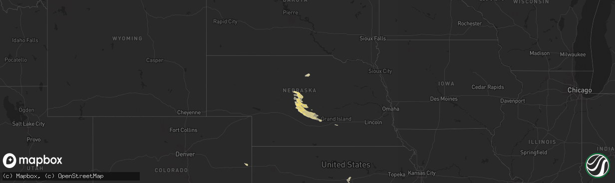
Hail Map in Nebraska on September 23, 2014
The weather event in Nebraska on September 23, 2014 includes Hail map. 4 states and 73 cities were impacted and suffered possible damage. The total estimated number of properties impacted is 0.
Want more than just the map?
Turn this storm into a full workflow.
- Owner + property data so you know who to knock
- OnDemand branded weather history reports to win the "did we even have hail?" argument
- RoofTrace estimate so reps stop guessing numbers at the door
Bought this map? Upgrade within 7 days and we'll credit the $230. (10-15 min setup call)
Hail
0
Estimated number of impacted properties by a 1.00" hail or larger0
Estimated number of impacted properties by a 1.75" hail or larger0
Estimated number of impacted properties by a 2.50" hail or largerStorm reports in Nebraska
Nebraska
| Date | Description |
|---|---|
| 09/23/20146:21 PM CDT | A local report indicates 60 MPH wind near 2 WSW ANSELMO |
| 09/23/20145:52 PM CDT | Pea size hail was also seen |
| 09/22/20148:54 PM CDT | 40 to 50 mph winds along with the hail... And heavy rain |
| 09/22/20147:40 PM CDT | A local report indicates 1.00 inch wind near 6 SSE CALLAWAY |
| 09/22/20147:10 PM CDT | A local report indicates 1.50 inch wind near 8 NW CALLAWAY |
Cities Impacted by Hail Map on September 23, 2014
- Dodge City, KS
- Callaway, NE
- Cimarron, KS
- Spearville, KS
- Bucklin, KS
- Offerle, KS
- Sublette, KS
- Leoti, KS
- Deerfield, KS
- Montezuma, KS
- Ingalls, KS
- Jetmore, KS
- Arnold, NE
- Anselmo, NE
- Ness City, KS
- Forgan, OK
- Turpin, OK
- Moscow, KS
- Hugoton, KS
- Liberal, KS
- Beeler, KS
- Larned, KS
- Pleasanton, NE
- Mullinville, KS
- Ford, KS
- Oconto, NE
- Arapahoe, CO
- Bassett, NE
- Satanta, KS
- Salina, KS
- Lindsborg, KS
- Dunning, NE
- Bethune, CO
- Burlington, CO
- Tescott, KS
- Ensign, KS
- Wright, KS
- Garden City, KS
- Miller, NE
- Brookville, KS
- Mason City, NE
- Tribune, KS
- Eddyville, NE
- Ravenna, NE
- Riverdale, NE
- Broken Bow, NE
- Merna, NE
- Kearney, NE
- Sumner, NE
- Amherst, NE
- Ulysses, KS
- Hazard, NE
- Hanston, KS
- St John, KS
- Bazine, KS
- Gypsum, KS
- Chase, KS
- Holcomb, KS
- Beaver, OK
- Harper, KS
- Long Pine, NE
- Greensburg, KS
- Rozel, KS
- Guymon, OK
- Rolla, KS
- Copeland, KS
- Ellinwood, KS
- Laverne, OK
- Trumbull, NE
- Doniphan, NE
- Balko, OK
- Ansley, NE
- Kismet, KS


