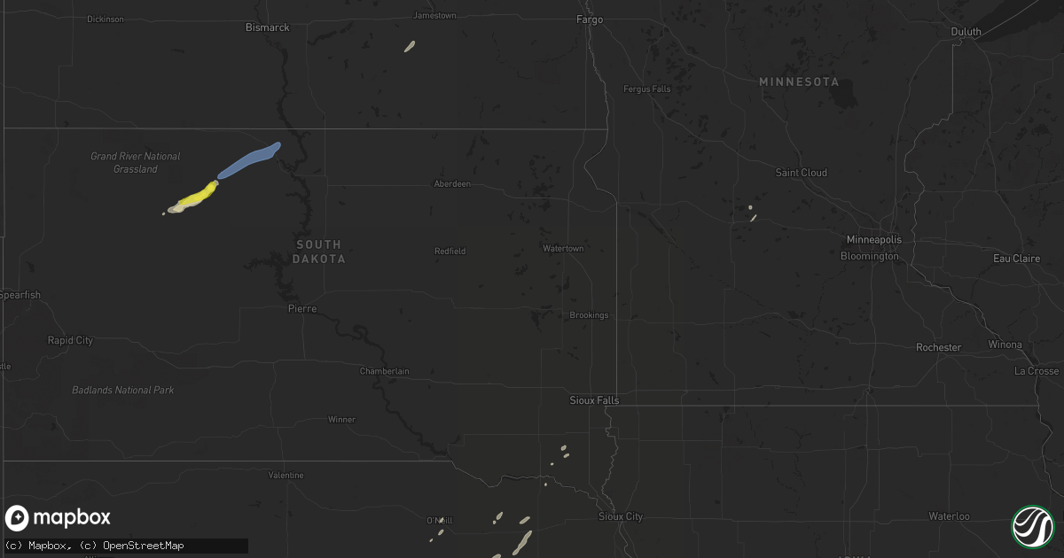
Hail Map in South Dakota on September 19, 2021
Get this storm
September 19 map
$229
one time, instant access
Download today. No call, no setup
Keep the $229
Bought the map and want the full workflow? Apply the entire $229 to a subscription within 7 days. None of it is wasted.
Every map, not just this one
This buys you this map. Subscription and you get every map we run, in the markets you choose from a few cities to whole states to nationwide. Plus real-time alerts the moment a storm fires.
Contact data
Name, contact info, occupancy, even credit band for addresses in the footprint. You go from where it hit to who to call.
Become the source they trust
Unlimited branding weather history reports on demand. You already have the documented answer ready for the property owner, and you are the one who showed up with it.
Property data and RoofTrace estimates
Pull up any address you have got, its value and the exact code rules for that jurisdiction, straight from One Click Code. Then RoofTrace estimates the squares, pitch, and roof value, priced the way you price.
Storm reports in South Dakota
South Dakota
| Date | Description |
|---|---|
| 09/19/20214:09 AM CDT | At 908 PM MDT, a severe thunderstorm was located near Isabel, or 22 miles north of Dupree, moving northeast at 50 mph. HAZARD...60 mph wind gusts and quarter size hail. SOURCE...Radar indicated. IMPACT...Hail damage to vehicles is expected. Expect wind damage to roofs, siding, and trees. This severe thunderstorm will be near... Firesteel around 925 PM MDT.Other locations in the path of this severe thunderstorm includeTimber Lake and Spring Lake. |
| 09/18/20217:57 PM CDT | Time estimated from radar |
All States Impacted by Hail Map on September 19, 2021
Cities Impacted by Hail Map on September 19, 2021
- Atwater, MN
- Spicer, MN
- Page, ND
- Oriska, ND
- Orr, MN
- Oconto, NE
- Volin, SD
- Dupree, SD
- Meadow, SD
- Isabel, SD
- Oneill, NE
- Neligh, NE
- Oakdale, NE
- Osmond, NE
- Wausa, NE
- Callaway, NE
- Brunswick, NE
- Creighton, NE
- Chambers, NE
- Broken Bow, NE
- Pierce, NE
- Blanchard, ND
- Grove City, MN
- Gackle, ND
- Jud, ND
- Galesburg, ND
- Albion, NE
- Tower City, ND
- Meadow Grove, NE
- Mclean, NE
- Saint Helena, NE
- McIntosh, SD
- Wakonda, SD
- Viborg, SD
- Irene, SD
- Centerville, SD
- Wakpala, SD
- McLaughlin, SD
- Little Eagle, SD


