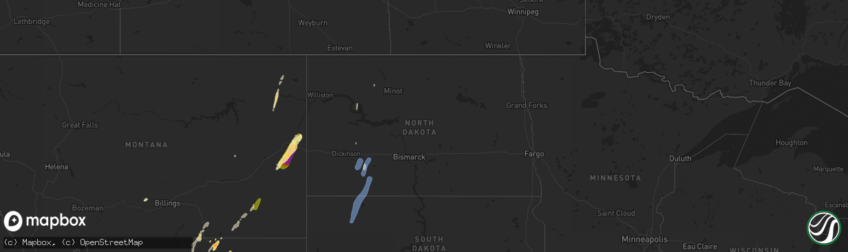
Hail Map in North Dakota on September 12, 2024
The weather event in North Dakota on September 12, 2024 includes Hail and Wind maps. 7 states and 58 cities were impacted and suffered possible damage. The total estimated number of properties impacted is 0.
Want more than just the map?
Turn this storm into a full workflow.
- Owner + property data so you know who to knock
- OnDemand branded weather history reports to win the "did we even have hail?" argument
- RoofTrace estimate so reps stop guessing numbers at the door
Bought this map? Upgrade within 7 days and we'll credit the $230. (10-15 min setup call)
Hail
Wind
0
Estimated number of impacted properties by a 1.00" hail or larger0
Estimated number of impacted properties by a 1.75" hail or larger0
Estimated number of impacted properties by a 2.50" hail or largerStorm reports in North Dakota
North Dakota
| Date | Description |
|---|---|
| 09/11/20248:01 PM CDT | Ndawn station 10 meter wind gust. |
| 09/11/20247:45 PM CDT | Late report from the storms of september 12. Thunderstorm winds lifted and folded back a significant portion of a pole barn roof. The winds also destroyed a calf shelte |
| 09/11/20247:02 PM CDT | Ndawn station 10 m wind gust. |
All States Impacted by Hail Map on September 12, 2024
Cities Impacted by Hail Map on September 12, 2024
- Dayton, WY
- Shell, WY
- Parkman, WY
- Wyola, MT
- Lodge Grass, MT
- Big Timber, MT
- Rapelje, MT
- Molt, MT
- Angela, MT
- Sheridan, WY
- Roberts, MT
- Ranchester, WY
- Birney, MT
- Buffalo, WY
- Clearmont, WY
- Banner, WY
- Otter, MT
- Broadus, MT
- Volborg, MT
- Richey, MT
- Taylor, ND
- Brockton, MT
- Poplar, MT
- Edgemont, SD
- Custer, SD
- Fallon, MT
- Ismay, MT
- Plevna, MT
- Wibaux, MT
- Glendive, MT
- Pringle, SD
- Hot Springs, SD
- New Town, ND
- Berthold, ND
- Lefor, ND
- Richardton, ND
- Regent, ND
- Mott, ND
- Bison, SD
- Meadow, SD
- Lemmon, SD
- Hettinger, ND
- Hermosa, SD
- Keystone, SD
- Rapid City, SD
- Fairburn, SD
- Caputa, SD
- New Leipzig, ND
- Hebron, ND
- Glen Ullin, ND
- Box Elder, SD
- New Underwood, SD
- Owanka, SD
- Wasta, SD
- Sparland, IL
- Bradford, IL
- Fort Mitchell, AL
- Fort Benning, GA


