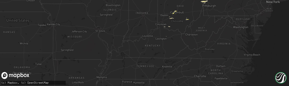
Hail Map in Kentucky on September 6, 2024
The weather event in Kentucky on September 6, 2024 includes Hail, Wind, and Tornado maps. 4 states and 47 cities were impacted and suffered possible damage. The total estimated number of properties impacted is 0.
Want more than just the map?
Turn this storm into a full workflow.
- Owner + property data so you know who to knock
- OnDemand branded weather history reports to win the "did we even have hail?" argument
- RoofTrace estimate so reps stop guessing numbers at the door
Bought this map? Upgrade within 7 days and we'll credit the $230. (10-15 min setup call)
Hail
Wind
Tornado
0
Estimated number of impacted properties by a 1.00" hail or larger0
Estimated number of impacted properties by a 1.75" hail or larger0
Estimated number of impacted properties by a 2.50" hail or largerStorm reports in Kentucky
Kentucky
| Date | Description |
|---|---|
| 09/06/20246:40 PM CDT | Corrects previous tstm wnd dmg report from 1 nne kendall springs. Trees were blown down on kendall springs road approximately 1 mile south from the owingsville city lim |
| 09/06/20245:40 PM CDT | Trees were blown down on kendall springs road approximately 1 mile south from the owingsville city limits and interstate 64. The event time is estimated from radar. |
| 09/06/20244:40 PM CDT | Small microburst with 55mph winds peeled some of a barn roof off and snapped a large tree limb on iron bridge road. |
| 09/06/20243:53 PM CDT | Four trees down. |
All States Impacted by Hail Map on September 6, 2024
Cities Impacted by Hail Map on September 6, 2024
- Sabina, OH
- Washington Court House, OH
- West Jefferson, OH
- Hilliard, OH
- New Holland, OH
- Columbus, OH
- Dublin, OH
- Amlin, OH
- Jamestown, OH
- Lewisport, KY
- Heath, OH
- London, OH
- Moscow, OH
- Bethel, OH
- New Richmond, OH
- Galloway, OH
- Lisbon, OH
- East Liverpool, OH
- Negley, OH
- Rogers, OH
- Wellsville, OH
- Midland, PA
- Darlington, PA
- Beaver Falls, PA
- Industry, PA
- Georgetown, OH
- Beaver, PA
- New Brighton, PA
- Winchester, OH
- Sardinia, OH
- Millfield, OH
- Glouster, OH
- Amesville, OH
- Harmony, PA
- Fombell, PA
- Rochester, PA
- Shippingport, PA
- Monaca, PA
- Chesterhill, OH
- Zelienople, PA
- Aliquippa, PA
- Polk, PA
- Hookstown, PA
- Sharpsburg, KY
- Carlisle, KY
- Friendship, NY
- Georgetown, PA


