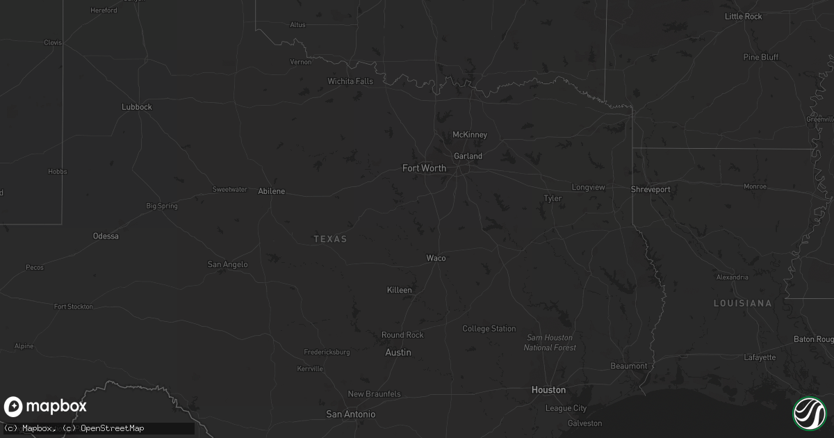
Hail Map in Georgia on September 5, 2011
Get this storm
September 5 map
$229
one time, instant access
Download today. No call, no setup
Keep the $229
Bought the map and want the full workflow? Apply the entire $229 to a subscription within 7 days. None of it is wasted.
Every map, not just this one
This buys you this map. Subscription and you get every map we run, in the markets you choose from a few cities to whole states to nationwide. Plus real-time alerts the moment a storm fires.
Contact data
Name, contact info, occupancy, even credit band for addresses in the footprint. You go from where it hit to who to call.
Become the source they trust
Unlimited branding weather history reports on demand. You already have the documented answer ready for the property owner, and you are the one who showed up with it.
Property data and RoofTrace estimates
Pull up any address you have got, its value and the exact code rules for that jurisdiction, straight from One Click Code. Then RoofTrace estimates the squares, pitch, and roof value, priced the way you price.
Storm reports in Georgia
Georgia
| Date | Description |
|---|---|
| 09/05/20115:50 PM CDT | Whitfield county emergency management relayed a report of a tree downed onto a house causing structural damage. |
| 09/05/20115:01 PM CDT | One tree fell on a mobile home. |
| 09/05/20114:55 PM CDT | Trees down countywide |
| 09/05/20114:50 PM CDT | Trees reported down on douglas highway. Time estimated by radar. |
| 09/05/20114:26 PM CDT | Tree down |
| 09/05/20114:25 PM CDT | Madison county 911 relayed reports of 2 downed trees in comer along hwy 72. |
| 09/05/20114:10 PM CDT | Emergency manager reported a few trees and power lines down in the homerville vicinity. Time is estimated and based on radar imagery. |
| 09/05/20114:08 PM CDT | Garden city fire reports trees and powerlines down. |
| 09/05/20114:03 PM CDT | Awning on a store blown off |
| 09/05/20113:51 PM CDT | Few power lines down along highway 62 west. |
| 09/05/20113:46 PM CDT | Pine tree down in richmond hill. Time estimated based on radar. |
| 09/05/20113:46 PM CDT | Bartow county 911 relayed reports of over a dozen downed trees in the county so far through the event. |
| 09/05/20113:45 PM CDT | Emergency manager reported a few trees and power lines down to the northeast of statenville. Time is estimated and based on radar imagery. |
| 09/05/20113:41 PM CDT | Trees down around the county. |
| 09/05/20113:40 PM CDT | Lumpkin county 911 relayed reports of 1-2 downed trees. |
| 09/05/20113:40 PM CDT | Few trees down in the western part of the county. |
| 09/05/20113:36 PM CDT | Tree down at highway 17 north and sand dollar drive. Time estimated by radar. |
| 09/05/20113:35 PM CDT | Tree fell on house on third street. Time estimated by radar. |
| 09/05/20113:35 PM CDT | Tree fell on vehicle on west general stewart way. Time estimated by radar. |
| 09/05/20113:33 PM CDT | Fire department reports trees down across roadways in midway. Time estimated basd on radar. |
| 09/05/20113:33 PM CDT | Tree down on south main street. Time estimated by radar. |
| 09/05/20113:33 PM CDT | Large oak tree down on ashmore street. Time estimated by radar. |
| 09/05/20113:33 PM CDT | Tree down on ola-b lane. Time estimated by radar. |
| 09/05/20113:30 PM CDT | Tree down near the intersection of harvest ln and phillips dr. |
| 09/05/20113:30 PM CDT | Tree down near 2500 east double gate. |
| 09/05/20113:28 PM CDT | Paulding county emergency management relayed reports of several downed trees. |
| 09/05/20113:24 PM CDT | Fire department reports trees down across several roadways in riceboro. Time estimated based on radar. |
| 09/05/20113:24 PM CDT | Power lines down in thomasville. |
| 09/05/20113:24 PM CDT | 3 trees down along 8 mile road. |
| 09/05/20113:20 PM CDT | Pickens county emergency management relayed reports of 3 closed roads due to numerous downed trees and powerlines. Possible tornado damage. |
| 09/05/20113:20 PM CDT | Muscogee county 911 relayed reports of several downed trees and lines. |
| 09/05/20113:19 PM CDT | Trees down in the eastern part of the county. |
| 09/05/20113:18 PM CDT | Trees down around the county and including downtown pelham. |
| 09/05/20113:18 PM CDT | Trees down around the county. |
| 09/05/20113:10 PM CDT | One tree blown on burnt mountain road...one tree down on clear creek road and one tree down on big creek road. |
| 09/05/20113:05 PM CDT | Union county 911 relayed a report of a downed tree. |
| 09/05/20113:02 PM CDT | Jones county 911 relayed reports of 5 downed trees and 4-5 downed powerlines in the time from 400 pm to 600 pm. |
| 09/05/20113:00 PM CDT | Public reports numerous trees and power lines down. A house had a tree downed onto it along mcray drive. |
| 09/05/20112:55 PM CDT | Tree down on spring hill road. |
| 09/05/20112:51 PM CDT | Amateur radio relayed reports of multiple trees down along hwy 53. |
| 09/05/20112:50 PM CDT | Numerous trees down on the east side of the county. 2 houses damaged along marble hill church road south of tate. |
| 09/05/20112:48 PM CDT | Public reported 20 trees downed...canapy and awning off house...roof off barn and shed...and crushed vehicles and fences. |
| 09/05/20112:47 PM CDT | Carroll county emergency management relayed reports of 3-4 downed trees in the county. |
| 09/05/20112:38 PM CDT | Cobb county 911 relayed reports of 3-4 downed trees. |
| 09/05/20112:35 PM CDT | Public reported several trees down on wedgewood falls drive. Power lines were also downed. |
| 09/05/20112:31 PM CDT | Cherokee county emergency management relayed reports of major damage in ne canton as tornado crossed hwy 20. |
| 09/05/20112:30 PM CDT | Public reports several trees downed along river estates pkwy. |
| 09/05/20112:21 PM CDT | Cherokee county emergency management relayed a report of damage along sixes road near holly springs. |
| 09/05/20112:19 PM CDT | Amateur radio relayed reports of multiple downed trees in the area of bascom and carmel roads west of interstate 575 in cherokee county. |
| 09/05/20112:15 PM CDT | Public reports tornado touchdown in woodstock. Trees were downed onto 2 houses...shingles taken off roofs...and townlake parkway was blocked by numerous trees. |
| 09/05/20112:13 PM CDT | Cherokee county emergency management relayed a law enforcement report of a tornado 1 mile west of woodstock. |
| 09/05/20112:13 PM CDT | Cherokee county emergency management relayed a report of hwy 92 blocked by downed trees and debris. |
| 09/05/20112:11 PM CDT | *** 1 inj *** max wind speed 90 mph...path length 24 miles semi-continuous...max path width 1/4 mile. Initial touch down just south of dixie speedway near woodstock in |
| 09/05/20112:05 PM CDT | *** 1 inj *** trees and power lines down county wide. Update...woman struck by falling limb in hunt camp. |
| 09/05/20112:04 PM CDT | Several trees down along west bluffton road |
| 09/05/20111:45 PM CDT | Amateur radio relayed trained spotter report of tornado in the macklin woods area of powder springs. |
| 09/05/20111:38 PM CDT | Harris county relayed reports of 3 downed trees in mulberry grove. |
| 09/05/20111:35 PM CDT | Amateur radio relayed a report from a trained spotter of a tornado near winston. |
| 09/05/20111:35 PM CDT | Amateur radio relayed a report from a trained spotter of a tornado near powder springs. |
| 09/05/201111:30 AM CDT | Haralson county 911 relayed a report of at least half a dozen downed trees. |
| 09/04/20117:57 PM CDT | Trees and power lines down along highway 112 near camilla. |
| 09/04/20117:15 PM CDT | Tree limbs down over western parts of echols county. Power still out to a number of residents due to tree limbs falling on power lines. Time estimated based on radar. |


