Hail Map in New York on September 3, 2018
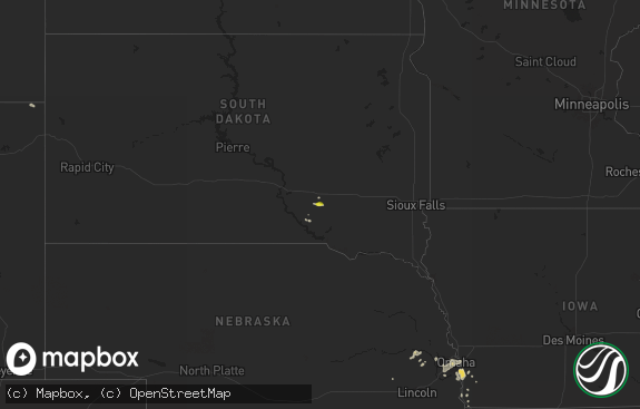
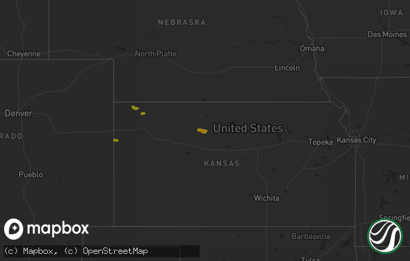
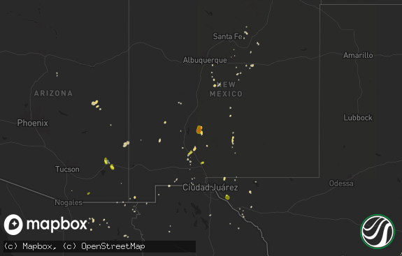
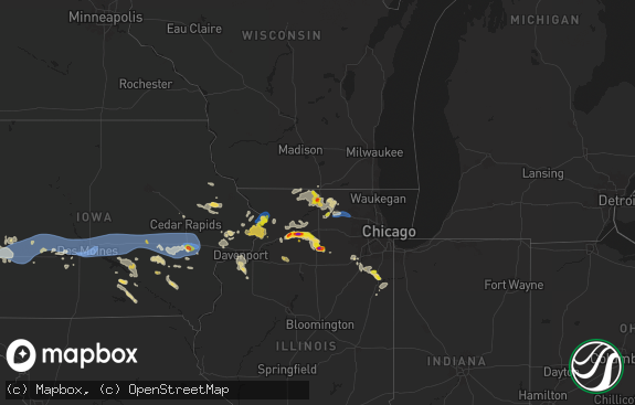
The weather event in New York on September 3, 2018 includes Hail map. 17 states and 171 cities were impacted and suffered possible damage. The total estimated number of properties impacted is 0.

Hail
0
Estimated number of impacted properties by a 1.00" hail or larger0
Estimated number of impacted properties by a 1.75" hail or larger0
Estimated number of impacted properties by a 2.50" hail or largerStorm reports in New York
New York
| Date | Description |
|---|---|
| 09/03/20184:15 PM CDT | Trees down on wires... Wires down. Time estimated from radar |
| 09/03/20184:02 PM CDT | Tree down on mobile home |
| 09/03/20182:17 PM CDT | Trees and wires down in the town of hartland |
| 09/03/20182:01 PM CDT | Trees and wires down |
| 09/03/20181:52 PM CDT | Tree and wire down |
| 09/03/20181:46 PM CDT | Trees and wires down |
| 09/03/20181:38 PM CDT | Tree down on house in lewiston |
| 09/03/20181:15 PM CDT | Trees and wires down on bear creek road in woodgate area. |
| 09/02/201811:24 PM CDT | At 423 PM EDT, a severe thunderstorm was located near Franklinville, or 21 miles north of Olean, moving east at 15 mph. HAZARD...60 mph wind gusts and quarter size hail. SOURCE...Radar indicated. IMPACT...Minor damage to vehicles is possible. Expect wind damage to roofs, siding, and trees. Locations impacted include... Franklinville, Rushford, Houghton, Caneadea, Lyndon, Black Creek, Farmersville Station, Hardy Corners, Lime Lake, Rushford Lake. |
| 09/02/201810:12 PM CDT | At 311 PM EDT, a severe thunderstorm was located near Middleport, or 7 miles west of Medina, moving east at 35 mph. HAZARD...60 mph wind gusts. SOURCE...Radar indicated. IMPACT...Expect damage to roofs, siding, and trees. Locations impacted include... Brockport, Medina, Albion, Hamlin Beach State Park, Byron, Churchville, Middleport and Oakfield. |
| 09/02/20189:55 PM CDT | At 255 PM EDT, a severe thunderstorm was located near Cato, or 10 miles south of Fair Haven Beach State Park, moving southeast at 25 mph. HAZARD...60 mph wind gusts and quarter size hail. SOURCE...Radar indicated. IMPACT...Minor damage to vehicles is possible. Expect wind damage to roofs, siding, and trees. Locations impacted include... Cato, Phoenix, Ira, Conquest, Meridian and South Hannibal. |
| 09/02/20189:52 PM CDT | At 251 PM EDT, a severe thunderstorm was located near Sanborn, or near North Tonawanda, moving east at 30 mph. HAZARD...60 mph wind gusts. SOURCE...Radar indicated. IMPACT...Expect damage to roofs, siding, and trees. Locations impacted include... Cheektowaga, North Tonawanda, Clarence, Amherst, Tonawanda, Williamsville, Grand Island and Pendleton.This includes Interstate 90 near exit 49. |
| 09/02/20189:34 PM CDT | At 234 PM EDT, a severe thunderstorm was located over Lewiston, moving east at 35 mph. HAZARD...70 mph wind gusts and penny size hail. SOURCE...Radar indicated. IMPACT...Expect considerable tree damage. Damage is likely to mobile homes, roofs, and outbuildings. Locations impacted include... Niagara Falls, Lockport, Newfane, Lewiston, Youngstown, Middleport, Fort Niagara State Park and Sanborn. |
| 09/02/20189:04 PM CDT | At 204 PM EDT, a severe thunderstorm was located near Fair Haven Beach State Park, moving east at 10 mph. HAZARD...60 mph wind gusts and dime size hail. SOURCE...Radar indicated. IMPACT...Expect damage to roofs, siding, and trees. Locations impacted include... Fulton, Central Square, Battle Island State Park, Volney, Palermo, Phoenix, Ira and Hannibal.This includes Interstate 81 near exit 32. |
| 09/02/20188:48 PM CDT | At 147 PM EDT, a severe thunderstorm was located near Boonville, moving east at 35 mph. HAZARD...60 mph wind gusts and penny size hail. SOURCE...Radar indicated. IMPACT...Expect damage to roofs, siding, and trees. Locations impacted include... Highmarket, Port Leyden, Lyons Falls, Constableville, Turin, Mohawk Hill and Talcottville. |
All States Impacted by Hail Map on September 3, 2018
Cities Impacted by Hail Map on September 3, 2018
- Syracuse, KS
- Coolidge, KS
- Holly, CO
- Flasher, ND
- Beulah, ND
- Glen Ullin, ND
- Hebron, ND
- Berthold, ND
- Randolph, KS
- Palermo, ND
- Leeds, ME
- Burghill, OH
- Stanton, ND
- Hazen, ND
- Stanley, ND
- Hancock, VT
- Crystal City, TX
- Wayne, IL
- Saint Charles, IL
- Winamac, IN
- Montoursville, PA
- Killdeer, ND
- Lawton, MI
- Mandaree, ND
- New Town, ND
- Keene, ND
- Medora, ND
- Amidon, ND
- Cato, NY
- Niles, MI
- Coldwater, MI
- Belfield, ND
- Kit Carson, CO
- Fort Sumner, NM
- Alburnett, IA
- Central City, IA
- Sherwood, ND
- Bowbells, ND
- Kenmare, ND
- Gate, OK
- Buffalo, SD
- Rhame, ND
- Bowman, ND
- Mohall, ND
- Antler, ND
- Warren, OH
- Cortland, OH
- New Salem, ND
- Almont, ND
- Westhope, ND
- Maxbass, ND
- Batavia, IL
- Geneva, IL
- Bartlett, IL
- West Chicago, IL
- Dunn Center, ND
- Mandan, ND
- Rochester, VT
- Zapata, TX
- Edwardsburg, MI
- Granada, CO
- Rolling Prairie, IN
- New Carlisle, IN
- Taylor, ND
- Richardton, ND
- South Heart, ND
- Dickinson, ND
- Gladstone, ND
- Dowagiac, MI
- Marion, IA
- Flaxton, ND
- Barton, VT
- Martville, NY
- Fairfield, ND
- Bismarck, ND
- Steele, ND
- Lowell, VT
- Westfield, VT
- Schoolcraft, MI
- Onsted, MI
- Fowler, OH
- Center Point, IA
- Shellsburg, IA
- Vinton, IA
- Buchanan, MI
- Decatur, MI
- Vandalia, MI
- Fort Yates, ND
- Manning, ND
- Edinboro, PA
- Albion, PA
- Menoken, ND
- Sterling, ND
- Watford City, ND
- Halliday, ND
- Galien, MI
- Three Oaks, MI
- Muncy, PA
- Moffit, ND
- Coggon, IA
- Malta, IL
- Cotulla, TX
- Braddock, ND
- Grant Park, IL
- Kalamazoo, MI
- White Pigeon, MI
- Grassy Butte, ND
- Driscoll, ND
- Ashton, IL
- Lemmon, SD
- Tucumcari, NM
- Belleville, MI
- Montezuma, IA
- Lowman, NY
- Underwood, ND
- Plaza, ND
- Donnybrook, ND
- Palo, IA
- Cedar Rapids, IA
- Portage, MI
- Bristol, IN
- Walkerton, IN
- Medina, OH
- Litchfield, OH
- Grafton, OH
- Napoleon, ND
- Kintyre, ND
- Schaumburg, IL
- Medaryville, IN
- Downers Grove, IL
- Woodridge, IL
- Eau Claire, MI
- Berrien Center, MI
- Momence, IL
- Beecher, IL
- North Liberty, IN
- Mill Creek, IN
- Cassopolis, MI
- Kim, CO
- Galesburg, MI
- Kouts, IN
- Wheatfield, IN
- Youngstown, NY
- Lockport, NY
- Ransomville, NY
- Wilson, NY
- Newfane, NY
- Asherton, TX
- Iaeger, WV
- Jolo, WV
- Ripton, VT
- Chicago, IL
- Elmwood Park, IL
- Knox, IN
- Romeoville, IL
- Garrison, IA
- Keystone, IA
- Youngstown, OH
- Girard, OH
- Constantine, MI
- New Haven, MI
- Casco, MI
- Rensselaer, IN
- Jones, MI
- Union, MI
- San Pierre, IN
- Parshall, ND
- Des Lacs, ND
- Powers Lake, ND
- Rome, PA
- Glenburn, ND


