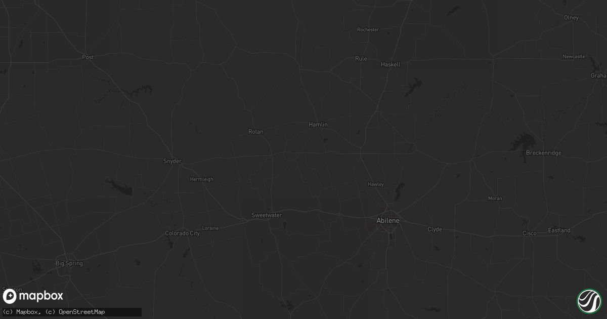
Hail Map in Phoenix, AZ on August 31, 2015
Get this storm
August 31 map
$229
one time, instant access
Download today. No call, no setup
Keep the $229
Bought the map and want the full workflow? Apply the entire $229 to a subscription within 7 days. None of it is wasted.
Every map, not just this one
This buys you this map. Subscription and you get every map we run, in the markets you choose from a few cities to whole states to nationwide. Plus real-time alerts the moment a storm fires.
Contact data
Name, contact info, occupancy, even credit band for addresses in the footprint. You go from where it hit to who to call.
Become the source they trust
Unlimited branding weather history reports on demand. You already have the documented answer ready for the property owner, and you are the one who showed up with it.
Property data and RoofTrace estimates
Pull up any address you have got, its value and the exact code rules for that jurisdiction, straight from One Click Code. Then RoofTrace estimates the squares, pitch, and roof value, priced the way you price.
Storm reports in Phoenix, AZ
Phoenix, AZ
| Date | Description |
|---|---|
| 08/30/201511:40 PM CDT | Billboard blown down at grand ave and encanto |
| 08/30/201510:52 PM CDT | Trees down on 40th st between indian school and thomas |
| 08/30/201510:34 PM CDT | Trees down across 7th st at roosevelt |
| 08/30/201510:16 PM CDT | Downed power poles and power lines laying atop houses at 17th ave and thomas |
| 08/30/201510:09 PM CDT | Numerous trees down at 27th ave and van buren |
| 08/30/20159:55 PM CDT | A local report indicates 63 MPH wind near 1 W PAPAGO PARK |
| 08/30/20159:50 PM CDT | Numerous large trees down at phoenix zoo...zoo closed for three days. |
| 08/30/20159:42 PM CDT | Sky harbor airport |
| 08/30/20159:35 PM CDT | Billboard blown down at grand ave and encanto |
| 08/30/20159:35 PM CDT | Trees down across 7th st at roosevelt |
All Cities Impacted by Hail Map on August 31, 2015
- Phoenix, AZ
- Duchesne, UT
- Armstrong, TX
- Charleston, IL
- Damascus, AR
- Bee Branch, AR
- Brownsville, TX
- Winkelman, AZ
- Leupp, AZ
- Payson, AZ
- Slater, CO
- Ash Fork, AZ
- Williams, AZ
- Florence, AZ
- Taft, TX
- Rio Grande City, TX
- Roma, TX
- Guerra, TX
- Laredo, TX
- Raymondville, TX
- San Perlita, TX
- Sedona, AZ
- Riviera, TX
- Young, AZ
- Waldron, AR
- Arcola, IL
- Tucson, AZ
- Ferron, UT
- Olmito, TX
- Flagstaff, AZ
- Clinton, AR
- Tuba City, AZ
- Eureka Springs, AR
- El Campo, TX
- Scottsdale, AZ
- Vernal, UT


