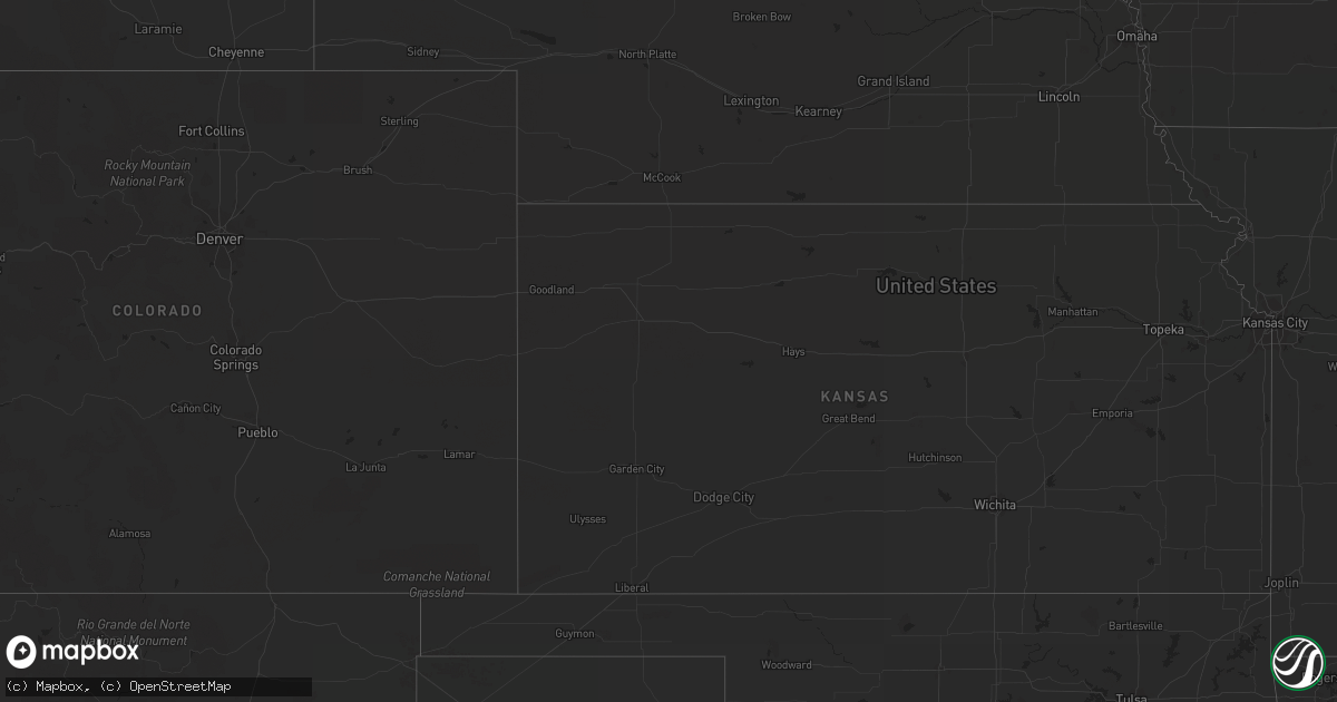
Hail Map in South Dakota on August 27, 2012
Get this storm
August 27 map
$229
one time, instant access
Download today. No call, no setup
Keep the $229
Bought the map and want the full workflow? Apply the entire $229 to a subscription within 7 days. None of it is wasted.
Every map, not just this one
This buys you this map. Subscription and you get every map we run, in the markets you choose from a few cities to whole states to nationwide. Plus real-time alerts the moment a storm fires.
Contact data
Name, contact info, occupancy, even credit band for addresses in the footprint. You go from where it hit to who to call.
Become the source they trust
Unlimited branding weather history reports on demand. You already have the documented answer ready for the property owner, and you are the one who showed up with it.
Property data and RoofTrace estimates
Pull up any address you have got, its value and the exact code rules for that jurisdiction, straight from One Click Code. Then RoofTrace estimates the squares, pitch, and roof value, priced the way you price.
Storm reports in South Dakota
South Dakota
| Date | Description |
|---|---|
| 08/27/20125:45 AM CDT | Quarter sized hail and 1.05 of rain. |
| 08/27/20125:00 AM CDT | Hail to the size of quarters. Moderate stripping of corn leaves. |
| 08/27/20124:55 AM CDT | Branches down at residence. Dime sized hail as well. |
| 08/27/20123:55 AM CDT | Hail to quarter size along with strong winds. Minor damage to siding on home and leaves stripped off crops. |
| 08/27/20123:45 AM CDT | Hail at least to the size of golfballs. Hail broke windows in two vehicles and dented farm equipment. Tree branches down - wind speed unknown. |
All States Impacted by Hail Map on August 27, 2012
Cities Impacted by Hail Map on August 27, 2012
- Leola, SD
- Bristol, SD
- Webster, SD
- Conde, SD
- Andover, SD
- Gackle, ND
- Steele, ND
- Tappen, ND
- Dawson, ND
- Streeter, ND
- Frederick, SD
- Westport, SD
- Columbia, SD
- Barnard, SD
- Mandan, ND
- New Salem, ND
- Florence, SD
- Garden City, SD
- Wallace, SD
- Henry, SD
- Bradley, SD
- Fredonia, ND
- Kulm, ND
- Iroquois, SD
- Forbes, ND
- Batesland, SD
- Martin, SD
- Bath, SD
- Yale, SD
- Coleman, TX
- Jud, ND
- Medina, ND
- Cleveland, ND
- Groton, SD
- Ferney, SD
- Stratford, SD
- Fort Davis, TX
- Balmorhea, TX
- Oldham, SD
- Menoken, ND
- Santa Anna, TX
- Montpelier, ND
- Ellendale, ND
- De Smet, SD
- Blanket, TX
- Watertown, SD
- Clark, SD


