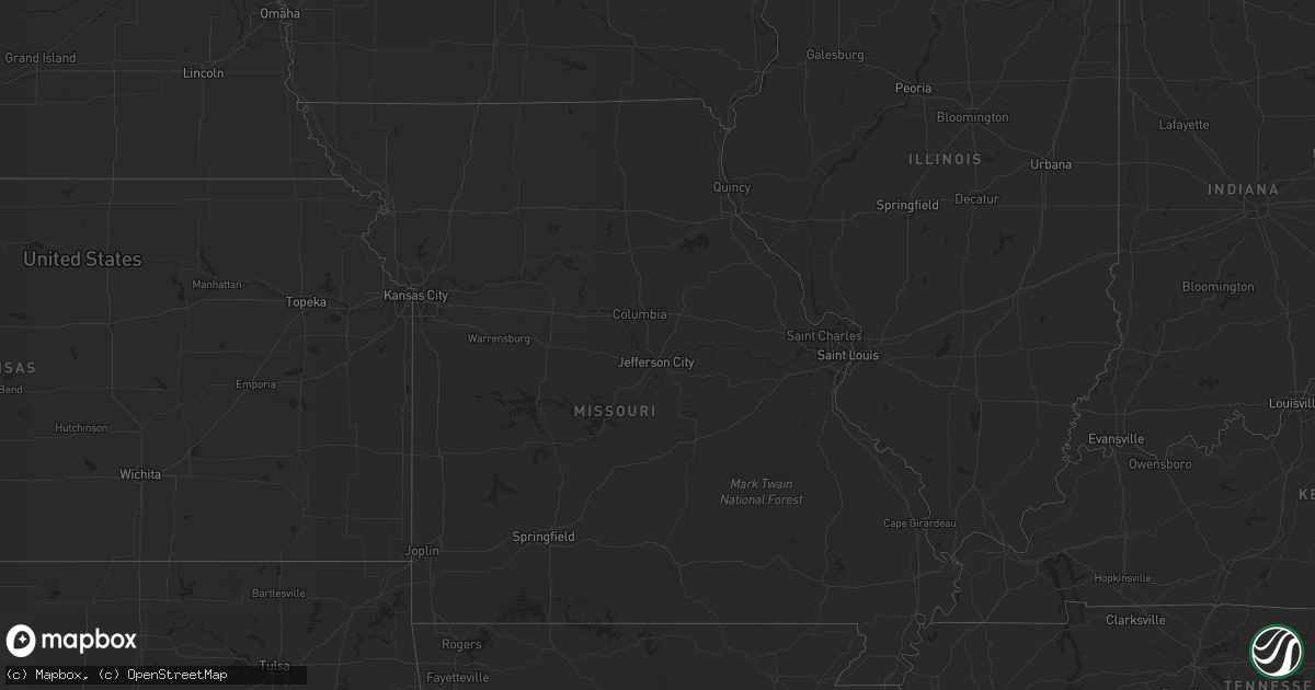
Hail Map in North Dakota on August 24, 2012
Get this storm
August 24 map
$229
one time, instant access
Download today. No call, no setup
Keep the $229
Bought the map and want the full workflow? Apply the entire $229 to a subscription within 7 days. None of it is wasted.
Every map, not just this one
This buys you this map. Subscription and you get every map we run, in the markets you choose from a few cities to whole states to nationwide. Plus real-time alerts the moment a storm fires.
Contact data
Name, contact info, occupancy, even credit band for addresses in the footprint. You go from where it hit to who to call.
Become the source they trust
Unlimited branding weather history reports on demand. You already have the documented answer ready for the property owner, and you are the one who showed up with it.
Property data and RoofTrace estimates
Pull up any address you have got, its value and the exact code rules for that jurisdiction, straight from One Click Code. Then RoofTrace estimates the squares, pitch, and roof value, priced the way you price.
Storm reports in North Dakota
North Dakota
| Date | Description |
|---|---|
| 08/24/20126:30 PM CDT | A local report indicates 60 MPH wind near 5 NNW REGAN |
| 08/24/20126:28 PM CDT | 40 to 50 mph winds also reported. |
| 08/24/20126:13 PM CDT | Golfball and quarter sized hail report. |
| 08/24/20126:06 PM CDT | Report relayed by media. |
| 08/24/20126:04 PM CDT | A local report indicates 1.00 inch wind near LOGAN |
| 08/24/20126:00 PM CDT | No wind prior to the onset of hail. Winds were beginning to pick up around 6 pm cdt. However...no wind damage was reported. |
| 08/24/20125:53 PM CDT | Report relayed by media. |
| 08/24/20125:34 PM CDT | Hail lasted 8 minutes. Also strong winds and heavy rain. |
| 08/24/20125:07 PM CDT | Hazen pd reported quarter sized hail that lasted for 5-7 minutes. Relayed by state radio. |
| 08/24/20126:22 AM CDT | Hail lasted 5 minutes. Largest hailstone 1 inch. |
| 08/24/201212:20 AM CDT | 1 foot diameter tree uprooted. Time approximate. |
| 08/24/201212:20 AM CDT | Partially completed 16 unit double stall garage structure was lofted roughly 10 feet to the west southwest and destroyed. Structure was under construction with roof she |
| 08/24/201212:20 AM CDT | 1 foot diameter tree uprooted. Time approximate. Mumerous large 3 to 5 inch diameter tree branches broken down around the city. |
| 08/23/201211:30 PM CDT | One 12 inch diameter ash tree was uprooted and a 8 inch diameter pine tree was snapped in a farmyeard. Numerous smaller branches were strewn about the yard. Time approx |
| 08/23/20129:17 PM CDT | Peak wind measured at the ndawn site located 10n of mchenry. |
| 08/23/20128:30 PM CDT | Heavy hail and brief wind gusts around 40 mph. |
| 08/23/20128:15 PM CDT | Reported small objects blowing across the yard. |
| 08/23/20128:10 PM CDT | A local report indicates 1.00 inch wind near 2 ESE HEATON |
| 08/23/20127:55 PM CDT | Heavy rain and gusty winds. No damage known at this time. |
| 08/23/20127:30 PM CDT | Heavy rainfall also reported. |
| 08/23/20127:05 PM CDT | Reported shingles on the ground and pea sized hail. |
| 08/23/20127:04 PM CDT | Small branches reported down... With nickle sized hail also falling. |
All States Impacted by Hail Map on August 24, 2012
Cities Impacted by Hail Map on August 24, 2012
- McIntosh, SD
- Steele, ND
- Hazelton, ND
- Moffit, ND
- Bismarck, ND
- Sterling, ND
- Pettibone, ND
- Tappen, ND
- Dawson, ND
- Menoken, ND
- Woodworth, ND
- Driscoll, ND
- Coleharbor, ND
- Beulah, ND
- Turtle Lake, ND
- Underwood, ND
- Stanton, ND
- Hazen, ND
- Thompson, UT
- Monticello, UT
- Winter Garden, FL
- Montverde, FL
- Clermont, FL
- Oakland, FL
- Windermere, FL
- Minot, ND
- Surrey, ND
- Rifle, CO
- Newfolden, MN
- Strandquist, MN
- Jennings, KS
- Nucla, CO
- Redvale, CO
- Rush, CO
- Wall, SD
- Sugar City, CO
- Lakin, KS
- Kanab, UT
- Fessenden, ND
- Harvey, ND
- Roseau, MN
- Ulysses, KS
- Wakpala, SD
- Stephen, MN
- Gordon, NE
- Langdon, ND
- Johnson, KS
- Glen Ullin, ND
- Hensel, ND
- Saint Thomas, ND
- Hamilton, ND
- Cavalier, ND
- Scott City, KS
- Mandan, ND
- Saint Anthony, ND
- Raleigh, ND
- Carson, ND
- Cedar Island, NC
- New Underwood, SD
- Wasta, SD
- Scenic, SD
- Grinnell, KS
- Oakley, KS
- Selfridge, ND
- Solen, ND
- Fort Yates, ND
- Post, TX
- Regan, ND
- Wilton, ND
- Mcclusky, ND
- Caputa, SD
- Hermosa, SD
- Center, ND
- Karval, CO
- Haswell, CO
- Wing, ND
- Tuttle, ND
- Newburg, ND
- Minto, ND
- Cannon Ball, ND
- Linton, ND
- Walsh, CO
- Hannaford, ND
- Antler, ND
- Mohall, ND
- Higgins, TX
- Sykeston, ND
- Boone, CO
- Yoder, CO
- Olney Springs, CO
- Towner, ND
- Granville, ND
- Garden City, KS
- Upham, ND
- Flasher, ND
- Brownfield, TX
- McLaughlin, SD
- Watauga, SD
- Panhandle, TX
- Green River, UT
- Trail City, SD
- De Beque, CO
- Kennedy, MN
- Borger, TX
- Fritch, TX
- Newport News, VA
- Hampton, VA
- Hardesty, OK
- Timber Lake, SD
- Mercer, ND
- Riverdale, ND
- Beaver, WV
- Harkers Island, NC
- Warroad, MN
- Kismet, KS
- Liberal, KS
- Turpin, OK
- Hugoton, KS
- Plains, KS
- Pampa, TX
- Wannaska, MN
- Ocracoke, NC
- Burlington, ND
- Kadoka, SD
- Parachute, CO
- Sawyer, ND
- Denhoff, ND
- Washburn, ND
- Martin, SD
- Bisbee, ND
- Donaldson, MN
- Gloucester, NC
- Smyrna, NC
- Marshallberg, NC
- Beaufort, NC
- Forgan, OK
- Goodrich, ND
- Avondale, CO
- White Deer, TX
- Groom, TX
- Colorado Springs, CO
- Copeland, KS
- Quinn, SD
- Bowdon, ND
- Chaseley, ND
- Hurdsfield, ND
- Ordway, CO
- Two Buttes, CO
- Springfield, CO
- Carrington, ND
- Hoxie, KS
- Max, ND
- Grygla, MN
- Sublette, KS
- Merkel, TX
- Las Animas, CO
- Montpelier, ND
- Salol, MN
- Benedict, ND
- Stinnett, TX
- Crosbyton, TX
- Maxbass, ND
- Garrison, ND
- Wolford, ND
- Souris, ND
- Westhope, ND
- Climax, MN
- Zap, ND
- Beryl, UT
- Pekin, ND
- Robinson, ND
- Asbury, WV
- Lewisburg, WV
- Ypsilanti, ND
- Douglas, ND
- Norwich, ND
- Velva, ND
- Deering, ND
- Bantry, ND
- Grand Forks, ND
- Middle River, MN
- New Salem, ND
- Rudyard, MT
- Orlando, FL
- Red Lake Falls, MN
- Satanta, KS
- Mountain, ND
- Penrose, CO
- Mylo, ND
- Lancaster, MN
- Batesland, SD
- Manter, KS
- East Carbon, UT
- Meade, KS
- Ralls, TX
- Floydada, TX
- Karlsruhe, ND
- Perryton, TX
- Cando, ND
- Kim, CO
- Butte, ND
- New Rockford, ND
- Karlstad, MN
- Pollock, SD
- Ingalls, KS
- Glenfield, ND
- Grace City, ND
- Nielsville, MN
- Davenport, FL
- Northwood, ND
- La Junta, CO
- Strathcona, MN
- Justiceburg, TX
- Cathay, ND
- Aneta, ND
- Spearman, TX
- Meadow, TX
- Lansford, ND
- Ashley, ND
- Gate, OK
- Valley City, ND
- Bristol, TN
- Milton, ND
- Gilby, ND
- Mcville, ND
- Selden, KS
- Philip, SD
- Deerfield, KS
- Norton, KS
- Clayton, KS
- Hugo, CO
- Wimbledon, ND
- Eads, CO
- Pierceville, KS
- Abilene, TX
- Glenburn, ND
- Walhalla, ND
- Rugby, ND
- Moscow, KS
- Agate, ND
- Mound City, SD


