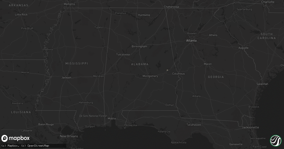
Hail Map in Alabama on August 20, 2016
Get this storm
August 20 map
$229
one time, instant access
Download today. No call, no setup
Keep the $229
Bought the map and want the full workflow? Apply the entire $229 to a subscription within 7 days. None of it is wasted.
Every map, not just this one
This buys you this map. Subscription and you get every map we run, in the markets you choose from a few cities to whole states to nationwide. Plus real-time alerts the moment a storm fires.
Contact data
Name, contact info, occupancy, even credit band for addresses in the footprint. You go from where it hit to who to call.
Become the source they trust
Unlimited branding weather history reports on demand. You already have the documented answer ready for the property owner, and you are the one who showed up with it.
Property data and RoofTrace estimates
Pull up any address you have got, its value and the exact code rules for that jurisdiction, straight from One Click Code. Then RoofTrace estimates the squares, pitch, and roof value, priced the way you price.
Storm reports in Alabama
Alabama
| Date | Description |
|---|---|
| 08/20/20164:32 PM CDT | Report of tree down near ozark |
| 08/20/20163:37 PM CDT | Couple trees down near the intersection of wire rd and shug jordan pkwy. Winds estimated 40-50 mph based on radar and nearby observation. Time estimated from radar. |
| 08/19/20168:30 PM CDT | Tree down across the rd near the intersection of rifle range rd and dozier rd. Winds estimated around 30 mph based on radar. Time estimated by radar. |
All States Impacted by Hail Map on August 20, 2016
Cities Impacted by Hail Map on August 20, 2016
- Payson, AZ
- San Jose, NM
- Ribera, NM
- Tilden, TX
- Chino Valley, AZ
- Clarkdale, AZ
- Weston, CO
- Moriarty, NM
- Zapata, TX
- Wickenburg, AZ
- Kirkland, AZ
- Gardner, CO
- Fort Davis, TX
- Tijeras, NM
- Edgewood, NM
- Wellton, AZ
- Seligman, AZ
- Sedona, AZ
- Mormon Lake, AZ
- Ash Fork, AZ
- Cotulla, TX
- Ojo Caliente, NM
- Sandia Park, NM
- Fort Hancock, TX
- Cimarron, NM
- Westcliffe, CO
- Congress, AZ
- Crown King, AZ
- Prescott, AZ
- Mayer, AZ
- Moffat, CO
- Auburn University, AL
- Auburn, AL
- Peridot, AZ
- Pagosa Springs, CO
- Stanley, NM
- Roll, AZ
- Black Canyon City, AZ
- La Veta, CO


