Hail Map in California on August 19, 2023
Get this storm
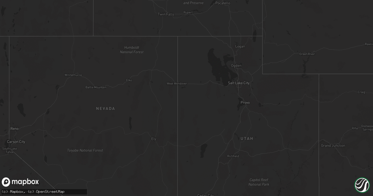
August 19 map
$229
one time, instant access
Download today. No call, no setup
Keep the $229
Bought the map and want the full workflow? Apply the entire $229 to a subscription within 7 days. None of it is wasted.
Every map, not just this one
This buys you this map. Subscription and you get every map we run, in the markets you choose from a few cities to whole states to nationwide. Plus real-time alerts the moment a storm fires.
Contact data
Name, contact info, occupancy, even credit band for addresses in the footprint. You go from where it hit to who to call.
Become the source they trust
Unlimited branding weather history reports on demand. You already have the documented answer ready for the property owner, and you are the one who showed up with it.
Property data and RoofTrace estimates
Pull up any address you have got, its value and the exact code rules for that jurisdiction, straight from One Click Code. Then RoofTrace estimates the squares, pitch, and roof value, priced the way you price.
Storm reports in California
California
| Date | Description |
|---|---|
| 08/19/20236:09 PM CDT | California highway patrol reporting multiple trees blocking the right lane of northbound sr 99 at sherwood ave. |
| 08/18/202310:04 PM CDT | California highway patrol reported a downed tree blocking the roadway on n. Safford ave. Between e. Rialto ave. And e. Santa ana ave. |
| 08/18/202310:00 PM CDT | Mesonet station pg186 penon blanco |
| 08/18/20238:40 PM CDT | California highway patrol reported a very large downed tree on n. Fulton st. Between the intersections of e. Bremer ave. And e. Dennett ave. |
| 08/18/20238:22 PM CDT | California highway patrol reported a large tree branch in the roadway on e. White ave. Near the intersection of of n. Villa ave. |
| 08/18/20238:21 PM CDT | California highway patrol reported a downed tree across the roadway on e. Cornell ave. Near the intersection of n. Sierra vista ave. |
| 08/18/20238:17 PM CDT | California highway patrol reported downed power lines in the roadway at the intersection of e. Mckinley ave. And n. De wolf ave. |
| 08/18/20238:17 PM CDT | California highway patrol reported a downed tree across w. Keats ave near the intersection of n. Arthur ave. |
| 08/18/20238:12 PM CDT | California highway patrol reported a large tree branch on the roadway near the intersection of s. Armstrong ave. And e. Butler ave. |
| 08/18/20238:12 PM CDT | California highway patrol reported a downed power line over both lanes of e. Belmont ave. Near the intersection of n. Wintergreen ave. |


