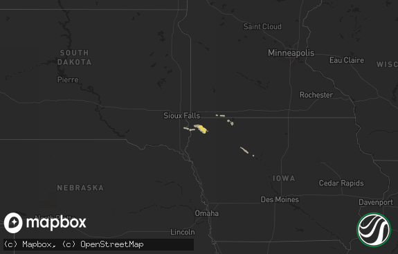
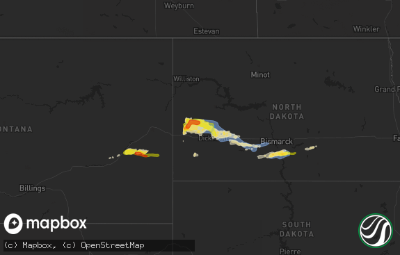
Hail Map in South Carolina on August 16, 2019
The weather event in South Carolina on August 16, 2019 includes Hail and Wind maps. 14 states and 246 cities were impacted and suffered possible damage. The total estimated number of properties impacted is 0.

Hail
Wind
0
Estimated number of impacted properties by a 1.00" hail or larger0
Estimated number of impacted properties by a 1.75" hail or larger0
Estimated number of impacted properties by a 2.50" hail or largerStorm reports in South Carolina
South Carolina
| Date | Description |
|---|---|
| 08/16/20195:00 PM CDT | Multiple power outages reported with possible tree limbs down on power lines. Time estimated by radar. |
| 08/16/201912:42 AM CDT | At 542 PM EDT, a severe thunderstorm was located near Goodale State Park, or near Camden, moving south at 20 mph. HAZARD...60 mph wind gusts and quarter size hail. SOURCE...Radar indicated. IMPACT...Hail damage to vehicles is expected. Expect wind damage to roofs, siding, and trees. Locations impacted include... Camden, Cassatt, Goodale State Park, Lugoff, North Central High School, Dekalb, North Towne Square Shopping Center, Woodward Airfield, Antioch and Midway Elementary School.This includes Interstate 20 in South Carolina between mile markers 94and 110. |
All States Impacted by Hail Map on August 16, 2019
Cities Impacted by Hail Map on August 16, 2019
- Peetz, CO
- Iliff, CO
- Hoyt, KS
- Snyder, CO
- Ramah, CO
- Matheson, CO
- Limon, CO
- Ellis, KS
- Kit Carson, CO
- Eads, CO
- Hays, KS
- Victoria, KS
- Wellsville, KS
- Edgerton, KS
- Arcadia, KS
- Kimball, SD
- Winner, SD
- Peotone, IL
- Grant Park, IL
- Manhattan, IL
- Beecher, IL
- Kankakee, IL
- Sterling, CO
- Gorham, KS
- Leavenworth, KS
- Topeka, KS
- Tecumseh, KS
- Lawrence, KS
- Winchester, KS
- Berryton, KS
- McLouth, KS
- Perry, KS
- Oskaloosa, KS
- Lecompton, KS
- Tonganoxie, KS
- Grantville, KS
- Yuma, CO
- Haswell, CO
- Ozawkie, KS
- Garnett, KS
- Richmond, KS
- Custer, SD
- Padroni, CO
- Monee, IL
- Overbrook, KS
- Whitman, NE
- Valentine, NE
- Bushnell, NE
- Valley Falls, KS
- Merriman, NE
- Hyannis, NE
- Knowlesville, NY
- Buffalo, OK
- Mooreland, OK
- Grover, CO
- Carpenter, WY
- Rossville, KS
- Silver Lake, KS
- Hugo, CO
- Meriden, KS
- Gasport, NY
- Lockport, NY
- Oacoma, SD
- Lewiston, NY
- Ransomville, NY
- Sanborn, NY
- Newfane, NY
- Ordway, CO
- Utica, KS
- Quinter, KS
- Deer Trail, CO
- Rosston, OK
- Demotte, IN
- Ashland, KS
- Pukwana, SD
- Edgemont, SD
- Averill Park, NY
- Albion, NY
- Plainville, KS
- Kimball, NE
- La Salle, IL
- Oglesby, IL
- Peru, IL
- Granville, IL
- Karval, CO
- Oral, SD
- Linwood, KS
- Scottsbluff, NE
- Hot Springs, SD
- Buffalo Gap, SD
- Natoma, KS
- Centerville, KS
- Welda, KS
- Colony, KS
- Kincaid, KS
- McCracken, KS
- Lucas, KS
- Sylvan Grove, KS
- Fairburn, SD
- Mitchell, NE
- Medaryville, IN
- Wheatfield, IN
- Wynantskill, NY
- Poestenkill, NY
- Troy, NY
- Baldwin City, KS
- Lance Creek, WY
- Burke, SD
- Bonesteel, SD
- Gregory, SD
- Herrick, SD
- Haxtun, CO
- Fleming, CO
- Lincoln, KS
- Pine Ridge, SD
- Lowell, IN
- Otis, CO
- Platte, SD
- Agate, CO
- Winamac, IN
- North Judson, IN
- Ashby, NE
- Simla, CO
- Herscher, IL
- Bonfield, IL
- Hebron, IN
- San Pierre, IN
- Paradise, KS
- Russell, KS
- Medina, NY
- Eckley, CO
- Leoti, KS
- Marienthal, KS
- Atchison, KS
- Hillrose, CO
- Piedmont, KS
- Laverne, OK
- Wray, CO
- Greeley, KS
- Fair Oaks, IN
- Rensselaer, IN
- Slingerlands, NY
- Albany, NY
- Appleton, NY
- Middleport, NY
- Merino, CO
- Nortonville, KS
- Peru, NE
- Holyoke, CO
- Beloit, KS
- Hawley, PA
- Honesdale, PA
- Arthur, NE
- Bourbonnais, IL
- Englewood, KS
- Peru, IN
- Parker, KS
- Pfeifer, KS
- Bison, KS
- Manteno, IL
- Rensselaer, NY
- West Sand Lake, NY
- Hereford, CO
- Clifton, KS
- Lyons, KS
- Hendley, NE
- Miltonvale, KS
- Chamberlain, SD
- Hartland, MN
- Akron, CO
- Albert Lea, MN
- Stewartsville, MO
- Schoenchen, KS
- Logansport, IN
- Crook, CO
- Utica, IL
- Buckingham, IL
- Reddick, IL
- Union Hill, IL
- Francesville, IN
- El Paso, IL
- Secor, IL
- Blue Mound, KS
- Easton, KS
- Clarksdale, MO
- Amity, MO
- Spring Hill, KS
- Gardner, KS
- Clarendon, TX
- Shallowater, TX
- Anton, TX
- Camden, SC
- Cassatt, SC
- Palmer, KS
- Saint George, KS
- Emmett, KS
- Paxico, KS
- Clay Center, KS
- Westmoreland, KS
- Green, KS
- Leonardville, KS
- Manhattan, KS
- Riley, KS
- Randolph, KS
- Wamego, KS
- Belvue, KS
- Olsburg, KS
- Onaga, KS
- Saint Marys, KS
- Barnes, KS
- Mayetta, KS
- Kent, NY
- Waterport, NY
- Honeoye Falls, NY
- Avon, NY
- Caledonia, NY
- Farmington, NY
- Macedon, NY
- Shortsville, NY
- Palmyra, NY
- Victor, NY
- Port Byron, NY
- Weedsport, NY
- Moravia, NY
- Scipio Center, NY
- Delmar, NY
- La Monte, MO
- Green Ridge, MO
- Whiteman Air Force Base, MO
- Sedalia, MO
- Knob Noster, MO
- Warrensburg, MO
- Centerview, MO
- Granite Canon, WY
- Laramie, WY
- Cheyenne, WY
- Buford, WY
- Tie Siding, WY
- Elwood, IL
- Wilmington, IL
- Momence, IL
- Thayer, IN
- Shelby, IN
- Schneider, IN
- Lake Village, IN
- Niagara Falls, NY


