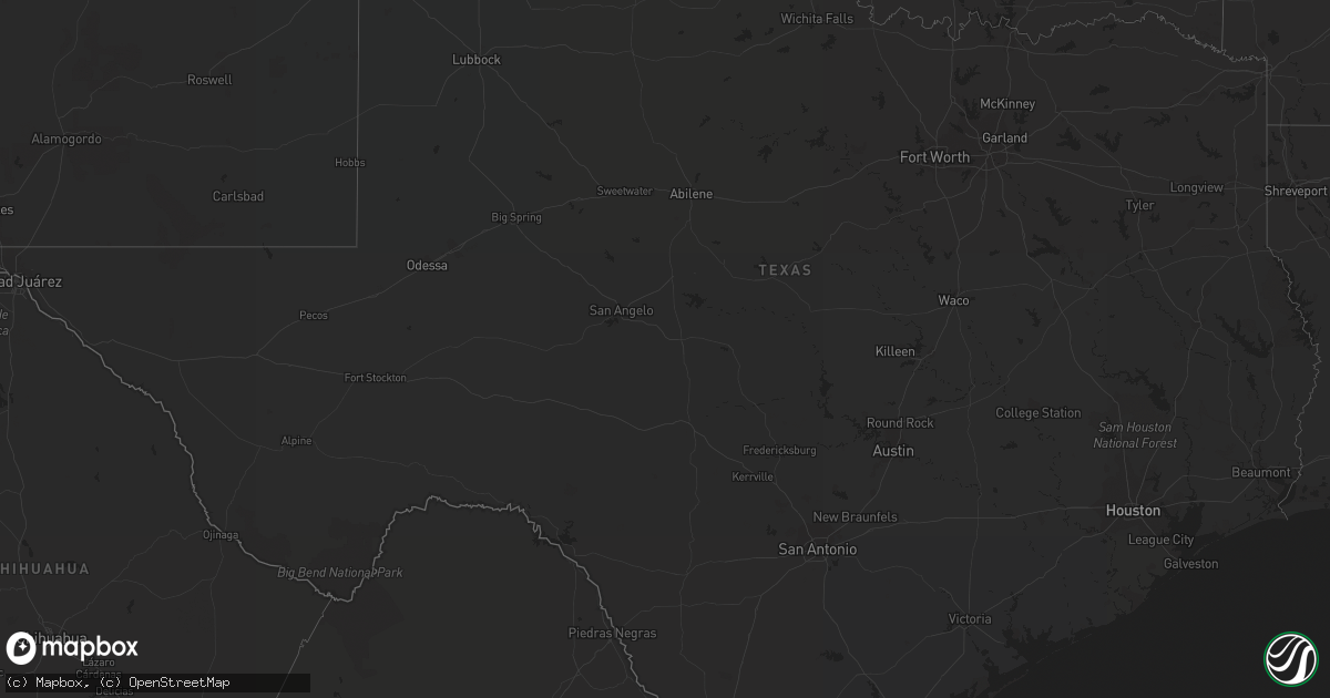
Hail Map in Texas on August 12, 2019
Get this storm
August 12 map
$229
one time, instant access
Download today. No call, no setup
Keep the $229
Bought the map and want the full workflow? Apply the entire $229 to a subscription within 7 days. None of it is wasted.
Every map, not just this one
This buys you this map. Subscription and you get every map we run, in the markets you choose from a few cities to whole states to nationwide. Plus real-time alerts the moment a storm fires.
Contact data
Name, contact info, occupancy, even credit band for addresses in the footprint. You go from where it hit to who to call.
Become the source they trust
Unlimited branding weather history reports on demand. You already have the documented answer ready for the property owner, and you are the one who showed up with it.
Property data and RoofTrace estimates
Pull up any address you have got, its value and the exact code rules for that jurisdiction, straight from One Click Code. Then RoofTrace estimates the squares, pitch, and roof value, priced the way you price.
Storm reports in Texas
Texas
| Date | Description |
|---|---|
| 08/12/20194:38 PM CDT | Trees were bending significantly during the strongest gusts. Lasted a few minutes. |
| 08/12/20194:30 PM CDT | Part of roof blown off building... Multiple 55 gallon drums blown down the street and some tree limbs were broken. Trained spotters estimated at least 70 mph wind gusts |
| 08/12/20194:30 PM CDT | Multiple 55 gallon drums blown down the street and some tree limbs were broken around higgins. |
| 08/12/20194:15 PM CDT | A local report indicates 59 MPH wind near 5 NNW PAMPA |
| 08/12/20193:41 PM CDT | A local report indicates 65 MPH wind near 1 SSW PANHANDLE |
| 08/12/20193:56 AM CDT | At 856 PM CDT, a severe thunderstorm was located near Boys Ranch, or 18 miles northeast of Vega, moving east at 10 mph. HAZARD...60 mph wind gusts and penny size hail. SOURCE...Radar indicated. IMPACT...Minor damage to roofs, siding, and trees is possible. Locations impacted include... Boys Ranch. |
| 08/12/20192:30 AM CDT | At 729 PM CDT, a severe thunderstorm was located 5 miles west of Channing, or 26 miles south of Dalhart, and is nearly stationary. HAZARD...70 mph wind gusts and half dollar size hail. SOURCE...Radar indicated. IMPACT...Expect some tree damage. Damage is likely to mobile homes, roofs, and outbuildings. Hail damage to vehicles is expected. Locations impacted include... Channing and Boys Ranch. |
All States Impacted by Hail Map on August 12, 2019
Cities Impacted by Hail Map on August 12, 2019
- Mount Pulaski, IL
- Elkhart, IL
- Ashland, KS
- Gays, IL
- Windsor, IL
- White Hall, IL
- Minneola, KS
- Burlington, KS
- Taylorville, IL
- Morrisonville, IL
- Owaneco, IL
- Palmer, IL
- Bellflower, MO
- Middletown, MO
- Arthur, IL
- Sullivan, IL
- Nardin, OK
- Blackwell, OK
- Hunter, OK
- Kremlin, OK
- Pawhuska, OK
- Burbank, OK
- Ponca City, OK
- Ashmore, IL
- Westfield, IL
- Billings, OK
- Turon, KS
- Cunningham, KS
- Mt Zion, IL
- Lovington, IL
- Decatur, IL
- Dalton City, IL
- Max, ND
- Douglas, ND
- Cerro Gordo, IL
- Argenta, IL
- Nelson, MO
- Tonkawa, OK
- Kingman, KS
- Milton, KS
- Edinburg, IL
- Rochester, IL
- Mechanicsburg, IL
- Springfield, IL
- Dawson, IL
- Riverton, IL
- Buffalo Creek, CO
- Bartlesville, OK
- Marland, OK
- Niantic, IL
- Harristown, IL
- Colony, KS
- Le Roy, KS
- Gridley, KS
- Neosho Falls, KS
- Iola, KS
- Nokomis, IL
- Rosamond, IL
- Ohlman, IL
- Mount Sterling, IL
- Bethany, IL
- Moweaqua, IL
- Nowata, OK
- Garrison, ND
- Ryder, ND
- Makoti, ND
- Assumption, IL
- Silex, MO
- Wellsville, MO
- Montgomery City, MO
- Arlington, KS
- Red Rock, OK
- Mattoon, IL
- Old Monroe, MO
- Troy, MO
- Moscow Mills, MO
- Winfield, MO
- Piqua, KS
- Buffalo, OK
- Williamsville, IL
- Lamont, OK
- Hartford, KS
- Ashland, IL
- Newkirk, OK
- Hawk Point, MO
- Pilot Grove, MO
- Benedict, ND
- Plaza, ND
- Truxton, MO
- Yates Center, KS
- Mount Auburn, IL
- Buffalo, IL
- Blue Mound, IL
- Stonington, IL
- Hammond, IL
- Boody, IL
- Macon, IL
- Pleasant Plains, IL
- Hughesville, MO
- Pana, IL
- Fairfax, OK
- Humboldt, IL
- Arcola, IL
- Athens, IL
- Sherman, IL
- Cantrall, IL
- La Monte, MO
- Versailles, IL
- Deer Creek, OK
- Braman, OK
- Charleston, IL
- Illiopolis, IL
- Latham, IL
- Protection, KS
- Medford, OK
- Pond Creek, OK
- Strasburg, IL
- Neoga, IL
- Shelbyville, IL
- Findlay, IL
- Pretty Prairie, KS
- Coleharbor, ND
- Isabella, OK
- Meno, OK
- Ames, OK
- Okeene, OK
- Ringwood, OK
- Arnett, OK
- Higgins, TX
- Camargo, OK
- Vici, OK
- Mutual, OK
- Chester, OK
- Mooreland, OK
- Enid, OK
- Ralston, OK
- Barnsdall, OK
- Shidler, OK
- Kaw City, OK
- La Harpe, KS
- Panhandle, TX
- Amarillo, TX
- Pampa, TX


