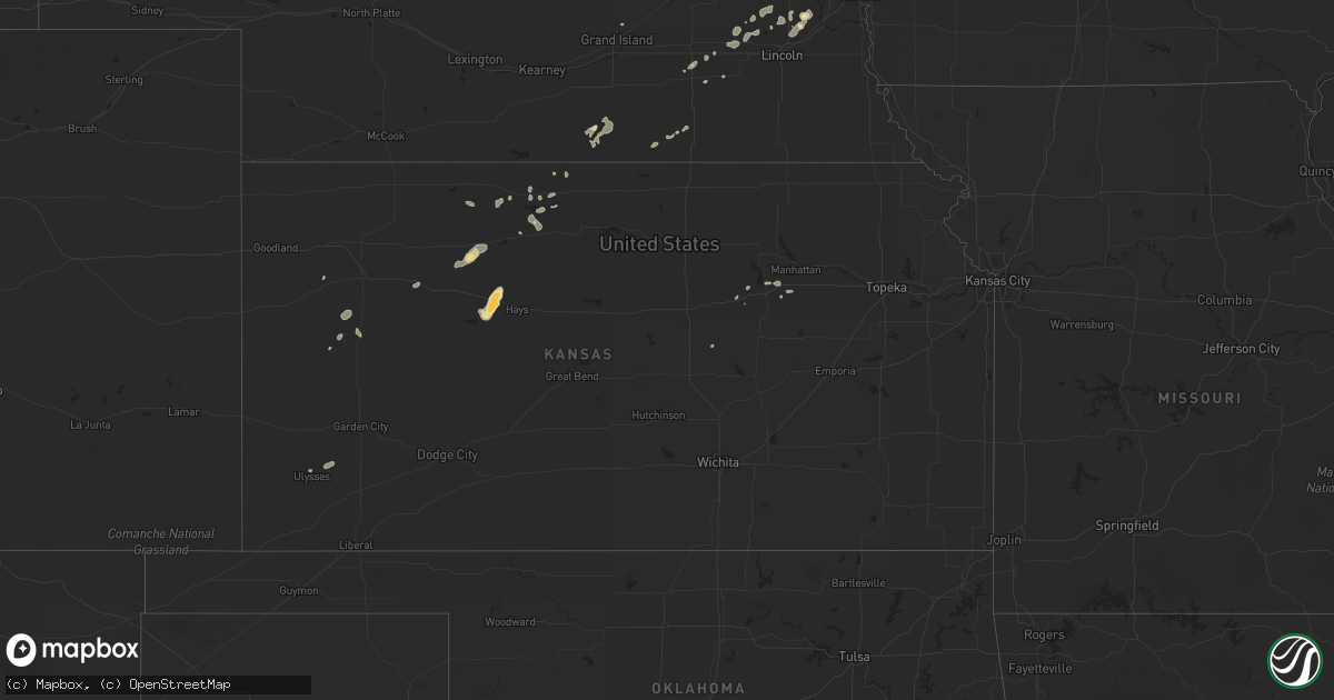
Hail Map in Illinois on July 27, 2011
Get this storm
July 27 map
$229
one time, instant access
Download today. No call, no setup
Keep the $229
Bought the map and want the full workflow? Apply the entire $229 to a subscription within 7 days. None of it is wasted.
Every map, not just this one
This buys you this map. Subscription and you get every map we run, in the markets you choose from a few cities to whole states to nationwide. Plus real-time alerts the moment a storm fires.
Contact data
Name, contact info, occupancy, even credit band for addresses in the footprint. You go from where it hit to who to call.
Become the source they trust
Unlimited branding weather history reports on demand. You already have the documented answer ready for the property owner, and you are the one who showed up with it.
Property data and RoofTrace estimates
Pull up any address you have got, its value and the exact code rules for that jurisdiction, straight from One Click Code. Then RoofTrace estimates the squares, pitch, and roof value, priced the way you price.
Storm reports in Illinois
Illinois
| Date | Description |
|---|---|
| 07/27/201112:25 AM CDT | A local report indicates 62 MPH wind near 4 SSE CAROL STREAM |
| 07/26/20119:40 PM CDT | State and perryville. |
| 07/26/20119:33 PM CDT | Branches and garbage flying. Estimated 75 mph winds. Torrential rain. |
| 07/26/20119:32 PM CDT | Near i-90 and riverside. |
| 07/26/20119:30 PM CDT | Estimated gust. 6 inch diameter tree branch down. Court and john streets. |
| 07/26/20119:28 PM CDT | Northeast side of rockford near north alpine road and spring creek road. |
| 07/26/20119:26 PM CDT | A local report indicates 70 MPH wind near 2 NNE ROCKFORD |
| 07/26/20119:19 PM CDT | Boat tied to dock in rock river lifted out of water and landed in nearby tree. Several windows blown out in same area near arlington street. From wrex tv. Time estimate |
| 07/26/20119:15 PM CDT | Large tree down blocking southbound meridian road just north of us 20. |
| 07/26/20119:11 PM CDT | Wrex tv studios. |
| 07/26/20119:10 PM CDT | Several 10 to 14 inch diameter trees down. One possibly as large as 20 inches in diameter. Time approximated from radar. |
| 07/26/20119:10 PM CDT | Trees down blocking westbound lane of west state street near weldon road. Time approximated from radar. |
| 07/26/20118:49 PM CDT | Large 8 inch diameter tree down over hwy 20 business and holland center road...relayed by media...time estimated from radar. |
| 07/26/20118:04 PM CDT | Time estimated from radar. |
| 07/26/20117:55 PM CDT | Possible tornado touchdown near jo davies / stephenson county line...relayed emergency manager. |
| 07/26/20117:55 PM CDT | Possible tornado near tiger whip road. |
| 07/26/20117:18 PM CDT | Tornado sited 1 mile nw of intersection of us 20 and il 84 |
All States Impacted by Hail Map on July 27, 2011
Cities Impacted by Hail Map on July 27, 2011
- Winslow, IL
- Browntown, WI
- Ceresco, NE
- New Glarus, WI
- Mount Horeb, WI
- Blanchardville, WI
- Belleville, WI
- Durango, IA
- Bee, NE
- Spanish Fork, UT
- Salem, UT
- Marengo, IL
- Garden Prairie, IL
- Genoa, IL
- Manning, IA
- Manilla, IA
- Valentine, NE
- Omaha, NE
- Chana, IL
- Ithaca, NE
- Ashland, NE
- Hopkinton, IA
- Delhi, IA
- Earlville, IA
- Worthington, IA
- Dyersville, IA
- Fort Davis, TX
- Buffalo, WY
- Gypsum, KS
- Kensington, KS
- Monroe, WI
- Argyle, WI
- Waverly, NE
- Greenwood, NE
- Rapid City, SD
- Monticello, WI
- Oelwein, IA
- Ellis, KS
- Manchester, IA
- Dundee, IA
- Kit Carson, CO
- Elizabeth, IL
- Stockton, IL
- Moorcroft, WY
- Wood, SD
- White River, SD
- Fort Calhoun, NE
- Schiller Park, IL
- Hinsdale, IL
- Arlington Heights, IL
- Maywood, IL
- Downers Grove, IL
- Cicero, IL
- Forest Park, IL
- Park Ridge, IL
- Broadview, IL
- Elk Grove Village, IL
- River Grove, IL
- Franklin Park, IL
- Harwood Heights, IL
- Addison, IL
- Glen Ellyn, IL
- Clarendon Hills, IL
- Darien, IL
- Medinah, IL
- Brookfield, IL
- Mount Prospect, IL
- Elmwood Park, IL
- Wood Dale, IL
- Willow Springs, IL
- Elmhurst, IL
- Lombard, IL
- Wheaton, IL
- Chicago, IL
- Warrenville, IL
- Lemont, IL
- Bensenville, IL
- Riverside, IL
- Carol Stream, IL
- Glendale Heights, IL
- Homer Glen, IL
- Hillside, IL
- West Chicago, IL
- Woodridge, IL
- Itasca, IL
- Lisle, IL
- Willowbrook, IL
- Oak Brook, IL
- Roselle, IL
- Winfield, IL
- Oak Park, IL
- Stone Park, IL
- Berwyn, IL
- River Forest, IL
- Melrose Park, IL
- Bellwood, IL
- Berkeley, IL
- Des Plaines, IL
- Westchester, IL
- Hines, IL
- Westmont, IL
- Naperville, IL
- La Grange Park, IL
- Rolling Meadows, IL
- Villa Park, IL
- Schaumburg, IL
- Mullen, NE
- Ann Arbor, MI
- Grass Lake, MI
- Manchester, MI
- Chelsea, MI
- Shelby, IA
- Peosta, IA
- Hazleton, IA
- Independence, IA
- Colome, SD
- Winner, SD
- McCool Junction, NE
- Saint Francis, SD
- Mission, SD
- Parmelee, SD
- Rosebud, SD
- Crookston, NE
- Hill City, KS
- Shannon, IL
- Pearl City, IL
- Lanark, IL
- Seward, NE
- Byron, IL
- Winnebago, IL
- Rockford, IL
- Stillman Valley, IL
- Hanover, IL
- Savanna, IL
- Presho, SD
- Hamill, SD
- Gregory, SD
- Bellevue, IA
- Maquoketa, IA
- Elkhorn, NE
- Waterloo, NE
- Lindenwood, IL
- Davis Junction, IL
- Monroe Center, IL
- Hubertus, WI
- Hartford, WI
- Colgate, WI
- Hartland, WI
- Fayette, IA
- Maynard, IA
- Elkport, IA
- Wadena, IA
- Lamont, IA
- Sumner, IA
- Westgate, IA
- Randalia, IA
- Elkader, IA
- Arlington, IA
- Strawberry Point, IA
- Hawkeye, IA
- Volga, IA
- Greeley, IA
- Aurora, IA
- Stanley, IA
- Fredericksburg, IA
- Edgewood, IA
- Kirwin, KS
- Glade, KS
- Phillipsburg, KS
- Haswell, CO
- Geddes, SD
- York, NE
- Walnut, IA
- Enterprise, KS
- Holy Cross, IA
- Sherrill, IA
- Leoti, KS
- Smith Center, KS
- Junction City, KS
- Harvard, IL
- Ideal, SD
- Pecatonica, IL
- Platteville, WI
- Belmont, WI
- Kyle, SD
- Palco, KS
- Bogue, KS
- Zwingle, IA
- Guttenberg, IA
- Colesburg, IA
- Garber, IA
- Scott City, KS
- Dubuque, IA
- La Motte, IA
- Berry, AL
- Exira, IA
- Audubon, IA
- Prairie View, KS
- Logan, KS
- Cuba City, WI
- Fort Benning, GA
- Kirkland, IL
- Clare, IL
- Hoffman Estates, IL
- Elgin, IL
- Barrington, IL
- Hampton, IA
- Allison, IA
- Witten, SD
- Oakland, IA
- Bladen, NE
- Stockton, KS
- Platte, SD
- Chamberlain, SD
- Burke, SD
- Coralville, IA
- Darlington, WI
- Galena, IL
- Lena, IL
- Davenport, NE
- Scales Mound, IL
- Cascade, IA
- Potosi, WI
- Luxemburg, IA
- Apple River, IL
- Farley, IA
- Hazel Green, WI
- Bernard, IA
- New Vienna, IA
- East Dubuque, IL
- Epworth, IA
- Delaware, IA
- Masonville, IA
- Sundance, WY
- Utica, NE
- Scranton, IA
- Fort Atkinson, WI
- Emelle, AL
- Hancock, IA
- Fort Riley, KS
- Rozet, WY
- Palatine, IL
- Lenora, KS
- Denver, IA
- Waverly, IA
- Janesville, IA
- Ulysses, KS
- Garland, NE
- Dundee, IL
- Greensboro, AL
- Freeport, IL
- Black Hawk, SD
- Custer, SD
- Kingston, IL
- Belvidere, SD
- Long Valley, SD
- Springview, NE
- Fairfax, IA
- Cedar Rapids, IA
- Swisher, IA
- Winthrop, IA
- Oak, NE
- Deshler, NE
- Deadwood, SD
- Hill City, SD
- Lead, SD
- Saint Charles, IL
- Beaver Crossing, NE
- Waco, NE
- Wayland, MI
- Readlyn, IA
- Blue Hill, NE
- Red Cloud, NE
- Porcupine, SD
- Wahoo, NE
- Woodston, KS
- Scenic, SD
- Munith, MI
- Gaylord, KS
- Carleton, NE
- Kieler, WI
- Fairbank, IA
- Kent, IL
- Tripoli, IA
- Ionia, IA
- Mount Carroll, IL
- Frederika, IA
- Oran, IA
- Plainfield, IA
- Clarksville, IA
- Ryan, IA
- Bristow, IA
- Greene, IA
- Nora, IL
- Warren, IL
- Avoca, IA
- Raymond, NE
- Norris, SD
- Starkville, MS
- Friend, NE
- Dwight, NE
- Lincoln, NE
- Chapman, KS
- Abilene, KS
- Lannon, WI
- Menomonee Falls, WI
- Sussex, WI
- Howes, SD
- Jackson, WI
- Richfield, WI
- Germantown, WI
- Neosho, WI
- Rubicon, WI
- Oconomowoc, WI
- Homewood, IL
- Hazel Crest, IL
- Exeter, NE
- Baileyville, IL
- Forreston, IL
- Hanksville, UT
- Middleville, MI
- Hastings, MI
- Caledonia, MI
- Cedar Falls, IA
- New Hartford, IA
- Damar, KS
- Sturgis, MS
- South Wayne, WI
- Brent, AL
- Las Animas, CO
- Helenville, WI
- Sullivan, WI
- Grand Island, NE
- Mineral Point, WI
- Oakley, KS
- Winona, KS
- Weston, NE
- Valparaiso, NE
- Brainard, NE
- Elk Horn, IA
- Kimballton, IA
- Neola, IA
- Missouri Valley, IA
- Honey Creek, IA
- Paton, IA
- Gowrie, IA
- Churdan, IA
- Superior, NE
- Ruskin, NE
- Nelson, NE
- Coon Rapids, IA
- Wanblee, SD
- Jefferson, WI
- Cedar, KS
- Northport, AL
- Memphis, NE
- Kilgore, NE
- Otter, MT
- Pewaukee, WI
- Delafield, WI
- Nashotah, WI
- Quinter, KS
- Park, KS
- Okaton, SD
- Hollandale, WI
- Tinley Park, IL
- Orland Park, IL
- Oak Forest, IL
- Altamont, UT
- Alta Vista, KS
- Mequon, WI
- Milwaukee, WI
- Kadoka, SD
- Rowan, IA
- Alexander, IA
- Dows, IA
- Latimer, IA
- Oregon, WI
- Brooklyn, WI
- Lake, MS
- Templeton, IA
- Carroll, IA
- Arcadia, IA
- Clarion, IA
- Duchesne, UT
- Ridott, IL
- Palos Hills, IL
- Palos Park, IL
- Buffalo Gap, SD
- Bartlett, IL
- Streamwood, IL
- Louisville, MS
- Murdo, SD
- Hamlin, IA
- Fairmont, NE
- Staplehurst, NE


