Hail Map in South Dakota on July 16, 2012
Get this storm
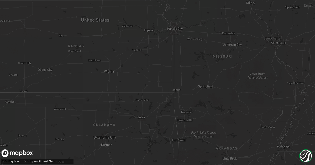
July 16 map
$229
one time, instant access
Download today. No call, no setup
Keep the $229
Bought the map and want the full workflow? Apply the entire $229 to a subscription within 7 days. None of it is wasted.
Every map, not just this one
This buys you this map. Subscription and you get every map we run, in the markets you choose from a few cities to whole states to nationwide. Plus real-time alerts the moment a storm fires.
Contact data
Name, contact info, occupancy, even credit band for addresses in the footprint. You go from where it hit to who to call.
Become the source they trust
Unlimited branding weather history reports on demand. You already have the documented answer ready for the property owner, and you are the one who showed up with it.
Property data and RoofTrace estimates
Pull up any address you have got, its value and the exact code rules for that jurisdiction, straight from One Click Code. Then RoofTrace estimates the squares, pitch, and roof value, priced the way you price.
Storm reports in South Dakota
South Dakota
| Date | Description |
|---|---|
| 07/16/20126:35 PM CDT | A local report indicates 60 MPH wind near 4 W GLAD VALLEY |
| 07/16/20126:35 PM CDT | A local report indicates 1.25 inch wind near 4 W GLAD VALLEY |
| 07/16/20126:30 PM CDT | Heavy rain with 1/4 to 1/2 inch hail. |
| 07/16/20126:15 PM CDT | 1/2 inch hail and 0.95 inches of rain. |
| 07/16/20126:10 PM CDT | A local report indicates 60 MPH wind near 8 ESE MEADOW |
| 07/16/20126:00 PM CDT | Most hail was pea to marble with a few pieces quarter size |
| 07/16/20125:22 PM CDT | Most hail was less than 1 inch but a few quarters remain. 1/2 mile stretch of hwy 85 about 9 miles south of buffalo was covered with small hail. |
| 07/16/20125:08 PM CDT | A local report indicates 1.50 inch wind near 1 S BUFFALO |
| 07/16/20125:00 PM CDT | Hail ranging from dime to ping pong ball completely covering the ground. Wind gusts of 60 to 70 mph and 1 inch of rain. |
| 07/16/20125:00 PM CDT | 60 to 70 mph winds |
| 07/16/20125:00 PM CDT | Hail ranging from dime to ping pong ball completely covering the ground. Wind gusts of 60 to 70 mph and 1 inch of rain. |
| 07/16/20124:18 PM CDT | Pea to nickel size hail |
| 07/16/20124:18 PM CDT | Sustained winds of 40 to 50 mph with gusts over 60 mph. Dime size hail |
| 07/16/20124:15 PM CDT | Two inches of hail on the ground ranging in size from nickle to golfball. Wind gusts of 70 mph and water running everywhere from brief heavy rain. |
| 07/16/20124:15 PM CDT | Two inches of hail on the ground ranging in size from nickle to golfball. Wind gusts of 70 mph and water running everywhere from brief heavy rain. |
| 07/15/20129:45 PM CDT | Large tree down. Power outage at residence for 3 hours. |
| 07/15/20129:12 PM CDT | A local report indicates 1.50 inch wind near 1 NE DUPREE |
| 07/15/20128:50 PM CDT | Nickel size hail |
| 07/15/20128:10 PM CDT | A local report indicates 1.00 inch wind near 4 ESE FAITH |
| 07/15/20128:10 PM CDT | A local report indicates 70 MPH wind near 4 ESE FAITH |
| 07/15/20127:58 PM CDT | A local report indicates 66 MPH wind near FAITH |
| 07/15/20127:55 PM CDT | Brief heavy rain. |
| 07/15/20127:45 PM CDT | 50 to 60 mph winds. Power outage at residence. |
All States Impacted by Hail Map on July 16, 2012
Cities Impacted by Hail Map on July 16, 2012
- Ralls, TX
- Hurricane, UT
- Buffalo, SD
- Pilot Rock, OR
- Buffalo, WY
- Grifton, NC
- Vanceboro, NC
- Camden, SC
- Grouse Creek, UT
- Hildale, UT
- Colorado City, AZ
- Ely, NV
- Eureka, SD
- Long Lake, SD
- Timber Lake, SD
- McLaughlin, SD
- Woolwine, VA
- Gainesville, GA
- Faith, SD
- Dunnellon, FL
- Ocala, FL
- Camp Crook, SD
- Capitol, MT
- Dupree, SD
- Dublin, TX
- Ardmore, AL
- Toney, AL
- Manchester, KY
- Usaf Academy, CO
- Steinhatchee, FL
- Sierra Vista, AZ
- Princeton, ID
- Harvard, ID
- Tahoka, TX
- Meadow, SD
- Post, TX
- Woodruff, SC
- Tuba City, AZ
- Slaton, TX
- Kinston, NC
- Patrick Springs, VA
- Pioche, NV
- Chesnee, SC
- New Bern, NC
- Heppner, OR
- Eagle Butte, SD
- Lantry, SD
- Isabel, SD
- Mud Butte, SD
- Reva, SD
- Bison, SD
- Prairie City, SD
- Ault, CO
- Stephenville, TX
- Lawsonville, NC
- Glendale, UT
- Alton, UT
- Oakes, ND
- Calhoun Falls, SC
- Abbeville, SC
- Greeley, CO
- Ware Shoals, SC
- Honea Path, SC
- Scranton, NC
- Belhaven, NC
- Spartanburg, SC
- Ayden, NC
- Warden, WA
- Cornelia, GA
- Iva, SC
- Mound City, SD
- Huntersville, NC
- Grover, CO
- Saint John, WA
- Colfax, WA
- Oakesdale, WA
- Thornton, WA
- Rock Hill, SC
- Overton, NV
- Eldorado Springs, CO
- Wilson, TX
- Harvest, AL
- Angier, NC
- Willow Spring, NC
- Tullahoma, TN
- Pulaski, TN
- McKee, KY
- Irvine, KY
- Pueblo, CO
- Stuart, VA
- Albertville, AL
- Crossville, AL
- Geraldine, AL
- Cheyenne, WY
- Eaton, CO
- Littlefield, AZ
- Ninety Six, SC
- Forest City, NC
- Panama City, FL
- Social Circle, GA
- Piedmont, SC
- Greenville, SC
- Bowling Green, KY
- Oakland, KY
- Rutledge, GA
- Hampton, TN
- Pikeville, NC
- Fremont, NC
- Lamont, WA
- Augusta, GA
- Hephzibah, GA
- Lincolnton, GA
- Lorenzo, TX
- Farmington, WA
- Leola, SD
- Marietta, SC
- Travelers Rest, SC
- Harrells, NC
- Charlotte, NC
- Bethune, SC
- Cassatt, SC
- Lubbock, TX
- Lamoure, ND
- Fullerton, ND
- Herreid, SD
- Floyd, VA
- Imbler, OR
- Elgin, OR
- Catawba, NC
- Sherrills Ford, NC
- Morriston, FL
- Birney, MT
- Clancy, MT
- Basin, MT
- Smithville, TN
- Trail City, SD
- Beattyville, KY
- Collinsville, AL
- Chiefland, FL
- Carr, CO
- Hazel Green, AL
- Flintville, TN
- Marlin, WA
- Selby, SD
- Lugoff, SC
- Rembert, SC
- Potlatch, ID
- Enoree, SC
- Perry, FL
- Walnut Cove, NC
- Inglis, FL
- Crystal River, FL
- New Market, AL
- Wallace, NC
- Lind, WA
- Alachua, FL
- Seagraves, TX
- Denver, CO
- Murfreesboro, TN
- Danbury, NC
- Westfield, NC
- Bishopville, SC
- Moses Lake, WA
- Marston, NC
- Hoffman, NC
- Elk City, ID
- Mauldin, SC
- Easley, SC
- Elgin, SC
- Horseshoe Beach, FL
- Old Town, FL
- New Hope, AL
- Wahpeton, ND
- Pendleton, OR
- Gray Court, SC
- Fountain Inn, SC
- Simpsonville, SC
- Greeneville, TN
- Grimesland, NC
- Chocowinity, NC
- Cove City, NC
- Winterville, NC
- Dover, NC
- Evergreen, CO
- Conifer, CO
- Mobridge, SD
- Glenham, SD
- Wayan, ID
- Alzada, MT
- Jefferson, SC
- Pageland, SC
- Clermont, GA
- Lula, GA
- Ardmore, TN
- Hodges, SC
- La Verkin, UT
- Toquerville, UT
- Spring Creek, NV
- Rutherfordton, NC
- Columbus, NC
- Tryon, NC
- Washington, NC
- Greenville, NC
- Harrington, WA
- Wakpala, SD
- Huntsville, AL
- Drewsey, OR
- Kaycee, WY
- Crosbyton, TX
- Saint Maries, ID
- Pollock, SD
- Gaffney, SC
- Gate City, VA
- Nickelsville, VA
- Platteville, CO
- Fort Lupton, CO
- Donalds, SC
- Ivanhoe, NC
- Ashley, ND
- Central City, CO
- Bennettsville, SC
- Sprague, WA
- Ekalaka, MT
- Broomfield, CO
- Brighton, CO
- South Pittsburg, TN
- Tavares, FL
- Java, SD
- Matthews, NC
- Connelly Springs, NC
- Howey In The Hills, FL
- Ballinger, TX
- Ferrum, VA
- Brevard, NC
- Mulberry, TN
- Belvidere, TN
- Seminole, TX
- Hiko, NV
- Sanford, NC
- Piney Flats, TN
- Lowndesville, SC
- Bellvue, CO
- Laurens, SC
- Boiling Springs, SC
- Society Hill, SC
- Desmet, ID
- Ernul, NC
- McIntosh, SD
- Whitehorse, SD
- Ritzville, WA
- Forbes, ND
- Bassett, VA
- Saluda, NC
- Columbia, SC
- Taft, TN
- Fayetteville, TN
- Fayetteville, NC
- Batesburg, SC
- Morrison, CO
- Little Eagle, SD
- Elberton, GA
- Mohler, WA
- Lamesa, TX
- Breckenridge, MN
- Taylors, SC
- Sundance, WY
- Willcox, AZ
- Belle Fourche, SD
- Clinton, SC
- Williamston, SC
- Troy, SC
- Boaz, AL
- Liberty, SC
- Great Falls, SC
- Fort Mill, SC
- Gainesville, FL
- Iron Station, NC
- Denver, NC
- Decatur, AL
- Trinity, AL
- Greenwood, SC
- Hartsville, SC
- Oakley, ID
- Cross City, FL
- Hamlet, NC
- Rosalia, WA
- Lynnville, TN


