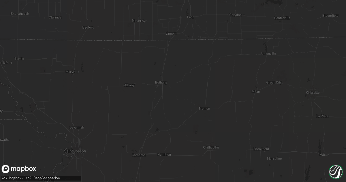
Hail Map in Wilmington, NC on June 29, 2011
Get this storm
June 29 map
$229
one time, instant access
Download today. No call, no setup
Keep the $229
Bought the map and want the full workflow? Apply the entire $229 to a subscription within 7 days. None of it is wasted.
Every map, not just this one
This buys you this map. Subscription and you get every map we run, in the markets you choose from a few cities to whole states to nationwide. Plus real-time alerts the moment a storm fires.
Contact data
Name, contact info, occupancy, even credit band for addresses in the footprint. You go from where it hit to who to call.
Become the source they trust
Unlimited branding weather history reports on demand. You already have the documented answer ready for the property owner, and you are the one who showed up with it.
Property data and RoofTrace estimates
Pull up any address you have got, its value and the exact code rules for that jurisdiction, straight from One Click Code. Then RoofTrace estimates the squares, pitch, and roof value, priced the way you price.
Storm reports in Wilmington, NC
Wilmington, NC
| Date | Description |
|---|---|
| 06/29/20114:14 PM CDT | Tree down at 5600 park avenue. Time estimated based off radar |
| 06/29/20114:09 PM CDT | Large tree down near the 5600 block of oleander drive. Time estimated based off radar |
| 06/29/20114:00 PM CDT | Tree down near the intersection of wrightsville avenue and oleander drive. Time estimated based off radar |
| 06/29/20113:30 PM CDT | Measured at the nc state port in wilmington |
| 06/29/20113:30 PM CDT | Multiple reports of damage at the nc state port in wilmington. |
| 06/29/20113:27 PM CDT | Tree down across henry h watters drive. Time estimated based off radar. |
All States Impacted by Hail Map on June 29, 2011
All Cities Impacted by Hail Map on June 29, 2011
- Frazer, MT
- Hinsdale, MT
- Sierra Vista, AZ
- Dodson, MT
- Huachuca City, AZ
- Peerless, MT
- Plentywood, MT
- Wrightsville Beach, NC
- Bamberg, SC
- Scobey, MT
- Oshkosh, NE
- Glasgow, MT
- Roff, OK
- Wolf Point, MT
- Lodgepole, NE
- Redstone, MT
- Fort Peck, MT
- Malta, MT
- Havelock, NC
- Beaufort, NC
- Hampstead, NC
- Holly Ridge, NC
- Wilmington, NC
- Nashua, MT
- Fortuna, ND
- Westby, MT
- Saint Helena Island, SC
- Lemoyne, NE
- Lewellen, NE
- Outlook, MT
- Fleming, CO
- Fitzhugh, OK
- Larslan, MT
- Metter, GA
- Richland, MT
- Opheim, MT
- Flaxville, MT
- Green River, UT
- Loring, MT
- Saco, MT
- Vandalia, MT
- Beaufort, SC
- Glenwood, GA
- Mount Vernon, GA
- Tarrytown, GA
- Soperton, GA
- Alamo, GA
- Ailey, GA
- Hereford, AZ
- Hays, MT
- Miami, FL
- Saint Gabriel, LA
- Plaquemine, LA
- Carville, LA
- Blanding, UT
- Bonner, MT
- Crook, CO
- Broadwater, NE
- Poplar, MT
- White Castle, LA
- Sun River, MT
- Kaplan, LA
- Willcox, AZ
- Elkton, FL
- Julesburg, CO
- Savannah, GA
- Hardeeville, SC
- Bradley, SC
- Ninety Six, SC
- Troy, SC
- Livingston, LA
- Pembroke, GA
- Fort Stewart, GA
- Winnabow, NC
- Port Royal, SC
- Jeanerette, LA
- Franklin, LA
- Patterson, LA
- Zortman, MT
- Bluffton, SC
- Leland, NC
- New Castle, CO
- Williston, SC
- Ridgeland, SC
- Drummond, MT
- Saint David, AZ
- Sidney, NE
- Gurley, NE
- Lisco, NE
- Clyo, GA
- Iliff, CO
- Raymond, MT
- Fargo, GA
- Salt Lake City, UT
- Ferriday, LA
- Twin City, GA
- Hilton Head Island, SC
- Chappell, NE
- Geismar, LA


