Hail Map in Montana on June 29, 2011
Get this storm
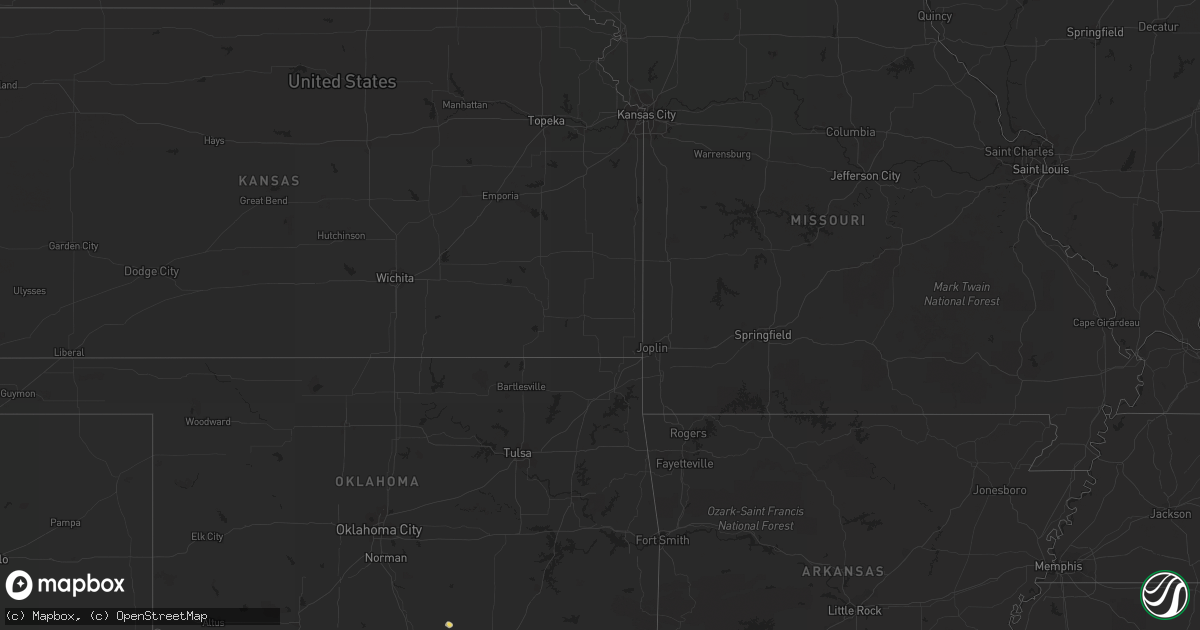
June 29 map
$229
one time, instant access
Download today. No call, no setup
Keep the $229
Bought the map and want the full workflow? Apply the entire $229 to a subscription within 7 days. None of it is wasted.
Every map, not just this one
This buys you this map. Subscription and you get every map we run, in the markets you choose from a few cities to whole states to nationwide. Plus real-time alerts the moment a storm fires.
Contact data
Name, contact info, occupancy, even credit band for addresses in the footprint. You go from where it hit to who to call.
Become the source they trust
Unlimited branding weather history reports on demand. You already have the documented answer ready for the property owner, and you are the one who showed up with it.
Property data and RoofTrace estimates
Pull up any address you have got, its value and the exact code rules for that jurisdiction, straight from One Click Code. Then RoofTrace estimates the squares, pitch, and roof value, priced the way you price.
Storm reports in Montana
Montana
| Date | Description |
|---|---|
| 06/29/20116:27 PM CDT | 58 mph wind gust at the havre airport. |
| 06/29/20115:15 PM CDT | A local report indicates 58 MPH wind near 6 SE JACKSON |
| 06/29/20114:05 PM CDT | 61 mph thunderstorm wind gust at the elkhorn raws location. Time is estimated off radar. |
| 06/29/20113:11 PM CDT | 59 mph wind gust at the dot sensor near elk park. |
| 06/28/201111:07 PM CDT | 50-60 mph estimated winds as well...also reported one power line down and a tree branch broke a rear window of a vehicle |
| 06/28/201110:50 PM CDT | Estimated 1 inch hail. Heavy rain. |
| 06/28/201110:36 PM CDT | Measured 60 mph wind. Heavy rain. No hail. |
| 06/28/20119:44 PM CDT | Measured 62 mph gust at king coulee raws station. |
| 06/28/20119:30 PM CDT | Estimated 60 mph wind. Small trees down. Large limbs down. |
| 06/28/20119:28 PM CDT | Estimated golf ball sized hail. |
| 06/28/20119:20 PM CDT | 3 fencing panels blown down. Numerous small limbs blown from trees. One small tree blown down. Shingles blown off. |
| 06/28/20119:05 PM CDT | Estimated 2 inch hail. Measured 0.70 inches of precip in 45 minutes. |
| 06/28/20119:05 PM CDT | Quarter size hail reported |
| 06/28/20118:53 PM CDT | Golf ball hail reported by nws employee. |
| 06/28/20118:48 PM CDT | Measured 2 1/4 inch hail at the office. |
| 06/28/20118:45 PM CDT | Measured 2 inch hail. |
| 06/28/20118:42 PM CDT | Estimated 2 inch hail. |
| 06/28/20118:42 PM CDT | Estimated 1 1/2 inch hail. |
| 06/28/20118:40 PM CDT | 1.75 inch hail reported with 65 mph winds. |
| 06/28/20118:40 PM CDT | Golf ball size hail. Small tree limbs down est 50-60 mph winds. |
| 06/28/20118:40 PM CDT | 2 inch hail reported by a trained spotter. |
| 06/28/20118:14 PM CDT | Estimated 61 mph winds |
| 06/28/20118:09 PM CDT | Estimated quarter sized hail. 65 mph wind. |
| 06/28/20118:09 PM CDT | Estimated quarter sized hail. 70 mph wind. Visibility less than 50 feet. |
| 06/28/20118:09 PM CDT | 65 mph gust recorded at this location. Winds got stronger destroying the wind gage. The winds knocked down trees and damaged two 50 year old garages. The winds blew awa |
| 06/28/20117:52 PM CDT | Estimated golf ball sized hail. |
| 06/28/20117:25 PM CDT | A local report indicates 60 MPH wind near SW MALTA |
| 06/28/20117:25 PM CDT | Estimated baseball size hail knocking horses over. |
All States Impacted by Hail Map on June 29, 2011
Cities Impacted by Hail Map on June 29, 2011
- Frazer, MT
- Hinsdale, MT
- Sierra Vista, AZ
- Dodson, MT
- Huachuca City, AZ
- Peerless, MT
- Plentywood, MT
- Wrightsville Beach, NC
- Bamberg, SC
- Scobey, MT
- Oshkosh, NE
- Glasgow, MT
- Roff, OK
- Wolf Point, MT
- Lodgepole, NE
- Redstone, MT
- Fort Peck, MT
- Malta, MT
- Havelock, NC
- Beaufort, NC
- Hampstead, NC
- Holly Ridge, NC
- Wilmington, NC
- Nashua, MT
- Fortuna, ND
- Westby, MT
- Saint Helena Island, SC
- Lemoyne, NE
- Lewellen, NE
- Outlook, MT
- Fleming, CO
- Fitzhugh, OK
- Larslan, MT
- Metter, GA
- Richland, MT
- Opheim, MT
- Flaxville, MT
- Green River, UT
- Loring, MT
- Saco, MT
- Vandalia, MT
- Beaufort, SC
- Glenwood, GA
- Mount Vernon, GA
- Tarrytown, GA
- Soperton, GA
- Alamo, GA
- Ailey, GA
- Hereford, AZ
- Hays, MT
- Miami, FL
- Saint Gabriel, LA
- Plaquemine, LA
- Carville, LA
- Blanding, UT
- Bonner, MT
- Crook, CO
- Broadwater, NE
- Poplar, MT
- White Castle, LA
- Sun River, MT
- Kaplan, LA
- Willcox, AZ
- Elkton, FL
- Julesburg, CO
- Savannah, GA
- Hardeeville, SC
- Bradley, SC
- Ninety Six, SC
- Troy, SC
- Livingston, LA
- Pembroke, GA
- Fort Stewart, GA
- Winnabow, NC
- Port Royal, SC
- Jeanerette, LA
- Franklin, LA
- Patterson, LA
- Zortman, MT
- Bluffton, SC
- Leland, NC
- New Castle, CO
- Williston, SC
- Ridgeland, SC
- Drummond, MT
- Saint David, AZ
- Sidney, NE
- Gurley, NE
- Lisco, NE
- Clyo, GA
- Iliff, CO
- Raymond, MT
- Fargo, GA
- Salt Lake City, UT
- Ferriday, LA
- Twin City, GA
- Hilton Head Island, SC
- Chappell, NE
- Geismar, LA


