Hail Map in North Dakota on June 26, 2012
Get this storm
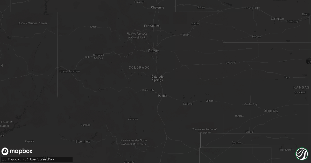
June 26 map
$229
one time, instant access
Download today. No call, no setup
Keep the $229
Bought the map and want the full workflow? Apply the entire $229 to a subscription within 7 days. None of it is wasted.
Every map, not just this one
This buys you this map. Subscription and you get every map we run, in the markets you choose from a few cities to whole states to nationwide. Plus real-time alerts the moment a storm fires.
Contact data
Name, contact info, occupancy, even credit band for addresses in the footprint. You go from where it hit to who to call.
Become the source they trust
Unlimited branding weather history reports on demand. You already have the documented answer ready for the property owner, and you are the one who showed up with it.
Property data and RoofTrace estimates
Pull up any address you have got, its value and the exact code rules for that jurisdiction, straight from One Click Code. Then RoofTrace estimates the squares, pitch, and roof value, priced the way you price.
Storm reports in North Dakota
North Dakota
| Date | Description |
|---|---|
| 06/26/201212:38 AM CDT | A local report indicates 78 MPH wind near 6 SE LANSFORD |
| 06/26/201212:20 AM CDT | A local report indicates 68 MPH wind near 4 W GLENBURN |
| 06/25/201211:41 PM CDT | North dakota atmospheric resource board report through nwschat. |
| 06/25/201210:45 PM CDT | Hail lasted 15 minutes from 1045 to 1100 pm cdt |
| 06/25/201210:23 PM CDT | Hail lasted 5 minutes |
| 06/25/201210:06 PM CDT | A local report indicates 64 MPH wind near 2 NNW WILLISTON |
| 06/25/20129:05 PM CDT | Hail continued falling at 907 pm cdt. This is at the intersection of highway 23 and highway 8...the scenic 23 club. Wind speeds estimated 40 mph. |
| 06/25/20127:40 PM CDT | Hail lasted from 740 pm cdt to 750 pm cdt. Also had very heavy rain and wind gusts to 25 mph. This was at the north unit of theodore roosevelt national park. Caller rep |
All States Impacted by Hail Map on June 26, 2012
Cities Impacted by Hail Map on June 26, 2012
- Epping, ND
- Williston, ND
- Ray, ND
- Flatonia, TX
- Cartwright, ND
- Havre, MT
- Whitsett, TX
- Calliham, TX
- Three Rivers, TX
- Grassy Butte, ND
- Watford City, ND
- Killdeer, ND
- Rudyard, MT
- Beeville, TX
- George West, TX
- Lansford, ND
- Whitetail, MT
- Skidmore, TX
- Mathis, TX
- Tynan, TX
- Hallettsville, TX
- Fort Benton, MT
- Kalispell, MT
- Bigfork, MT
- Somers, MT
- Conrad, MT
- Joplin, MT
- Gildford, MT
- Ledger, MT
- Hingham, MT
- Chester, MT
- Inverness, MT
- Richey, MT
- Lambert, MT
- New Town, ND
- Tioga, ND
- Houston, TX
- Trinity, TX
- Kenmare, ND
- Sherwood, ND
- Mohall, ND
- Tolley, ND
- Arnegard, ND
- Circle, MT
- Bloomfield, MT
- Brockway, MT
- Savage, MT
- Sidney, MT
- Fairview, MT
- East Glacier Park, MT
- Essex, MT
- Ashby, NE
- Power, MT
- Floweree, MT
- Carter, MT
- Great Falls, MT
- Ovando, MT
- Sweet Grass, MT
- Shelby, MT
- Sunburst, MT
- Kevin, MT
- Schulenburg, TX
- Parshall, ND
- Whitlash, MT
- Big Sandy, MT
- Chinook, MT
- Dutton, MT
- Galata, MT
- Kremlin, MT
- Brady, MT
- Cut Bank, MT
- Marion, MT
- Plentywood, MT
- Pleasanton, TX
- Poteet, TX
- Voltaire, ND
- Benedict, ND
- Velva, ND
- Sawyer, ND
- Max, ND
- Kenedy, TX
- Karnes City, TX
- Gillett, TX
- Hobson, TX
- Westby, MT
- Cypress, TX
- Katy, TX
- Alexander, ND
- Falls City, TX
- Mandaree, ND
- Keene, ND
- Loma, MT
- Waelder, TX
- Lakeside, MT
- Amado, AZ
- Valier, MT
- Floresville, TX
- Bigfoot, TX
- Charlotte, TX
- Campbellton, TX
- Poth, TX
- Browning, MT
- Weimar, TX
- Columbus, TX
- Goliad, TX
- Harwood, TX
- Sun River, MT
- Cascade, MT
- Berthold, ND
- Oilmont, MT
- Raymond, MT
- Cat Spring, TX
- Needville, TX
- Boling, TX
- Douglas, ND
- Ryder, ND
- Makoti, ND
- Richmond, TX
- Lewellen, NE
- Lincoln, MT
- Stanley, ND
- Palermo, ND
- Alto, TX
- Grapeland, TX
- Wells, TX
- Minot, ND
- Rosenberg, TX
- Bellville, TX
- Runge, TX
- Plaza, ND
- Comfort, TX
- Muldoon, TX
- Fredericksburg, TX
- Vaughn, MT
- Powers Lake, ND
- White Earth, ND
- Balfour, ND
- Groveton, TX
- Anamoose, ND
- Drake, ND
- Montgomery, TX
- Donnybrook, ND
- Carpio, ND
- Bottineau, ND
- Huntsville, TX
- Outlook, MT
- Glidden, TX
- San Diego, TX
- Sinton, TX
- Scranton, ND
- Beach, ND
- Navasota, TX
- Souris, ND
- Victoria, TX
- Bingham, NE
- Maxbass, ND


