Hail Map in Ohio on June 24, 2025
Get this storm
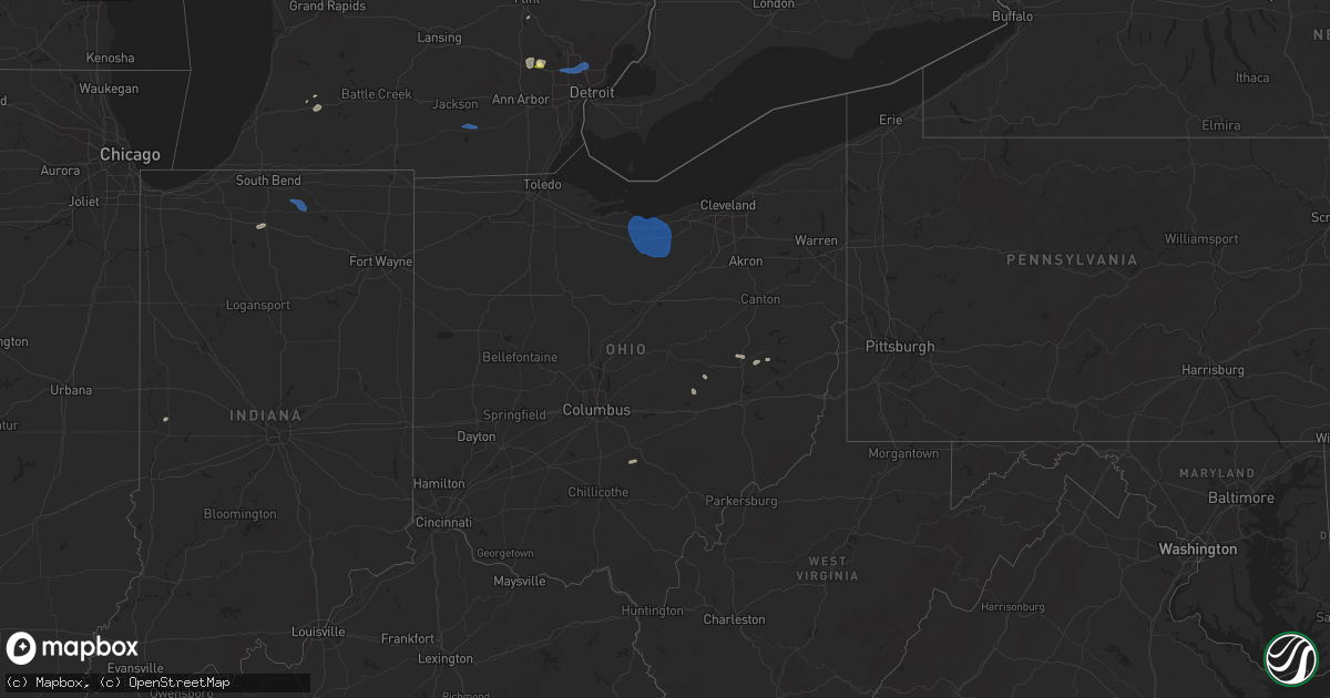
June 24 map
$229
one time, instant access
Download today. No call, no setup
Keep the $229
Bought the map and want the full workflow? Apply the entire $229 to a subscription within 7 days. None of it is wasted.
Every map, not just this one
This buys you this map. Subscription and you get every map we run, in the markets you choose from a few cities to whole states to nationwide. Plus real-time alerts the moment a storm fires.
Contact data
Name, contact info, occupancy, even credit band for addresses in the footprint. You go from where it hit to who to call.
Become the source they trust
Unlimited branding weather history reports on demand. You already have the documented answer ready for the property owner, and you are the one who showed up with it.
Property data and RoofTrace estimates
Pull up any address you have got, its value and the exact code rules for that jurisdiction, straight from One Click Code. Then RoofTrace estimates the squares, pitch, and roof value, priced the way you price.
Storm reports in Ohio
Ohio
| Date | Description |
|---|---|
| 06/24/20256:37 PM CDT | Trees reported down at clear creek and starner. Time estimated from radar. |
| 06/24/20255:55 PM CDT | One large tree and numerous smaller branches downed at a property on state route 73. |
| 06/23/202510:42 PM CDT | Tree down on state route 800. |
| 06/23/202510:16 PM CDT | Tree fell into a building in po |
| 06/23/202510:16 PM CDT | Tree fell into a building |
| 06/23/202510:16 PM CDT | Tree fell into a building in port washington... Oh. (pbz |
| 06/23/202510:16 PM CDT | Tree fell into a building in port washington... Oh. |
| 06/23/202510:10 PM CDT | Tree fell on fry valley road. |
| 06/23/20259:43 PM CDT | Large tree down blocking roadway near bainbridge and geauga lake road. Time was estimated by radar. |
| 06/23/20259:43 PM CDT | Large tree down blocking roadway nea |
| 06/23/20259:21 PM CDT | Tree fell on a home. |
| 06/23/20259:08 PM CDT | Delayed report. Three-inch diameter tree branches broken. Time estimated via radar. |
| 06/23/20259:05 PM CDT | Delayed report. Trees damaged in west salem. Time estimated via radar. |
| 06/23/20258:28 PM CDT | A local report indicates 63 MPH wind near 5 N Wakeman |
| 06/23/20258:00 PM CDT | Emergency management relayed a report of several trees and power lines blown down south of collins. Time was estimated by radar. |
| 06/23/20257:03 PM CDT | Trees reported down at voris and bauer. Time estimated from radar. |
| 06/23/20257:00 PM CDT | Several large tree limbs blown down in the area of jackson township. |
All States Impacted by Hail Map on June 24, 2025
Cities Impacted by Hail Map on June 24, 2025
- Red Oak, IA
- Clarinda, IA
- Essex, IA
- Stanton, IA
- Villisca, IA
- Union Star, MO
- Rea, MO
- Savannah, MO
- Helena, MO
- King City, MO
- Amity, MO
- Maysville, MO
- Agency, MO
- Moorcroft, WY
- Upton, WY
- Weston, CO
- Plymouth, IN
- Milford, MI
- Brighton, MI
- New Hudson, MI
- Wixom, MI
- Commerce Township, MI
- South Lyon, MI
- Novi, MI
- Walled Lake, MI
- Castle Rock, CO
- Manitou Springs, CO
- Colorado Springs, CO
- Holly, MI
- Grand Blanc, MI
- Belknap, IL
- Parker, CO
- Mattawan, MI
- Kalamazoo, MI
- Creole, LA
- Elizabeth, CO
- Aurora, CO
- Datil, NM
- Captiva, FL
- Little River, KS
- Lyons, KS
- Vale, SD
- Franktown, CO
- Watkins, CO
- Bennett, CO
- Strasburg, CO
- Farmington, MI
- Southfield, MI
- Franklin, MI
- Clay Center, KS
- Magdalena, NM
- Newell, SD
- Royal Oak, MI
- Berkley, MI
- Huntington Woods, MI
- Oak Park, MI
- Clawson, MI
- Madison Heights, MI
- Troy, MI
- Sterling Heights, MI
- Warren, MI
- Cameron, LA
- Brooklyn, MI
- Cement City, MI
- Glenrock, WY
- Douglas, WY
- Whittier, NC
- Laguna, NM
- Florence, CO
- Wetmore, CO
- Kewanee, IL
- Loxley, AL
- Daphne, AL
- Fairhope, AL
- Cherokee, NC
- Leonardville, KS
- Elsie, MI
- Ovid, MI
- Owosso, MI
- Henderson, MI
- Roggen, CO
- Wiggins, CO
- Byers, CO
- Cambridge, IL
- Tomball, TX
- Cypress, TX
- Bryson City, NC
- Beaver, OK
- Florien, LA
- Atkinson, IL
- Hayesville, NC
- Wiergate, TX
- Paw Paw, MI
- Wakarusa, IN
- Weldona, CO
- Orchard, CO
- Fort Morgan, CO
- Log Lane Village, CO
- Snyder, CO
- Nappanee, IN
- Goshen, IN
- Mountain City, TN
- Frankfort, KS
- Robeline, LA
- Brush, CO
- Hillrose, CO
- Akron, CO
- New Paris, IN
- Bloomingdale, IN
- Warne, NC
- Stoneham, CO
- Merino, CO
- Butler, TN
- Gatlinburg, TN
- Sterling, CO
- Columbia, MS
- New Raymer, CO
- Broaddus, TX
- Sabetha, KS
- Casper, WY
- Big Springs, NE
- Yoder, CO
- Trenton, MO
- Forest, MS
- Horton, KS
- Summit, MS
- Sevierville, TN
- Ramah, CO
- Pigeon Forge, TN
- Salem, NE
- Dawson, NE
- Brule, NE
- Rush, CO
- Hiawatha, KS
- Cosby, TN
- Yazoo City, MS
- Trout, LA
- Benton, MS
- Kingston, MI
- White Cloud, KS
- Robinson, KS
- Venango, NE
- Julesburg, CO
- Canton, KS
- Marlette, MI
- Canton, MS
- Camden, MS
- Carthage, MS
- Wray, CO
- Eckley, CO
- Yuma, CO
- Milan, MO
- Decker, MI
- Enders, NE
- Imperial, NE
- Many, LA
- Haxtun, CO
- Blountstown, FL
- Oregon, MO
- Rolling Fork, MS
- Mayersville, MS
- Neely, MS
- McLain, MS
- Chipley, FL
- McDavid, FL
- Molino, FL
- Panama City, FL
- Lysite, WY
- Hemphill, TX
- Anguilla, MS
- Lewellen, NE
- Chappell, NE
- Newport, TN
- Roxbury, KS
- Maitland, MO
- Green Castle, MO
- Arthur, NE
- Oshkosh, NE
- Del Rio, TN
- Mosheim, TN
- Greeneville, TN
- Parrottsville, TN
- Queen City, MO
- Greentop, MO
- Hayes Center, NE
- Avon, OH
- Westlake, OH
- Olmsted Falls, OH
- North Olmsted, OH
- Leesville, LA
- Johnson City, TN
- Lancaster, OH
- Rockbridge, OH
- New London, OH
- Norwalk, OH
- Collins, OH
- Wakeman, OH
- Wellington, OH
- Magnolia, AR
- Taylor, AR
- Milam, TX
- Vernon, FL
- Otis, CO
- Novinger, MO
- Karnack, TX
- Frazeysburg, OH
- Dresden, OH
- Conesville, OH
- Coshocton, OH
- Marshall, TX
- Albany, MO
- Tonica, IL
- Lostant, IL
- Newtown, MO
- Harris, MO
- Pollock, MO
- Stone Creek, OH
- Newcomerstown, OH
- Uhrichsville, OH
- Pattonsburg, MO
- Tippecanoe, OH
- Port Washington, OH
- Graham, MO
- Browning, MO
- Gnadenhutten, OH
- Midwest, WY
- Otter, MT
- Birney, MT
- Zanesville, OH
- Newcastle, WY
- Hill City, SD
- Lead, SD
- Shields, ND
- Vermilion, OH
- Huron, OH
- Oberlin, OH
- Amherst, OH
- Kipton, OH
- Berlin Heights, OH
- Milan, OH
- Sandusky, OH
- Monroeville, OH
- Padroni, CO
- Boone, CO
- Holyoke, CO
- Champion, NE
- Parks, NE
- Haigler, NE
- Benkelman, NE
- Saint Francis, KS
- Bird City, KS
- Vernon, CO
- Idalia, CO


