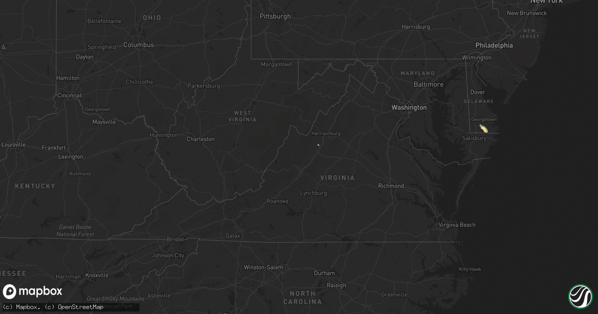
Hail Map in Virginia on June 13, 2025
Get this storm
June 13 map
$229
one time, instant access
Download today. No call, no setup
Keep the $229
Bought the map and want the full workflow? Apply the entire $229 to a subscription within 7 days. None of it is wasted.
Every map, not just this one
This buys you this map. Subscription and you get every map we run, in the markets you choose from a few cities to whole states to nationwide. Plus real-time alerts the moment a storm fires.
Contact data
Name, contact info, occupancy, even credit band for addresses in the footprint. You go from where it hit to who to call.
Become the source they trust
Unlimited branding weather history reports on demand. You already have the documented answer ready for the property owner, and you are the one who showed up with it.
Property data and RoofTrace estimates
Pull up any address you have got, its value and the exact code rules for that jurisdiction, straight from One Click Code. Then RoofTrace estimates the squares, pitch, and roof value, priced the way you price.
Storm reports in Virginia
Virginia
| Date | Description |
|---|---|
| 06/13/20255:55 PM CDT | Large tree limbs blew down in lyndhurst. |
| 06/13/20255:50 PM CDT | Several greenhouses were destroyed at a nursery between lyndhurst and waynesboro. |
| 06/13/20255:45 PM CDT | Trees blew down in the unit block of harvest road. |
| 06/13/20255:45 PM CDT | Trees blew down in the unit block of blackford way. |
| 06/13/20255:44 PM CDT | Trees blew down near the intersection of va-631 ladd road and warren oaks lane. |
| 06/13/20255:43 PM CDT | Trees blew down in the 3600 block of va-624 lyndhurst road. |
| 06/13/20255:39 PM CDT | Numerous trees were knocked down along shalom road. Time estimated from radar. |
| 06/13/20255:23 PM CDT | Trees blew down in the 600 block of sv-865 rockfish road. |
| 06/13/20255:10 PM CDT | Trees blew down in the 600 block of va-782 brower road. |
| 06/13/20255:08 PM CDT | Trees blew down in the 800 block of va-619 hildebrand church road. |
| 06/13/20255:00 PM CDT | Corrects previous tstm wnd dmg report from 2 ese hermitage. Trees blew down in the 500 block of oak grove church road. |
| 06/13/20255:00 PM CDT | Trees blew down on va-782 north point school road in the 200 block. |
| 06/13/20254:52 PM CDT | Trees and wires blew down on forest road in page valley estates. |
| 06/13/20254:50 PM CDT | Trees and wires blew down blocking the 100 block of va-608 battlefield road. |
| 06/13/20254:45 PM CDT | Trees blew down in the 1000 block of balsley road. |
All States Impacted by Hail Map on June 13, 2025
Cities Impacted by Hail Map on June 13, 2025
- Indiahoma, OK
- Lawton, OK
- Cache, OK
- Faxon, OK
- Geronimo, OK
- Walters, OK
- Sentinel, OK
- Hobart, OK
- Chattanooga, OK
- Amite, LA
- Roseland, LA
- Loveland, OK
- Roosevelt, OK
- Georgetown, DE
- Millsboro, DE
- Butte, MT
- Laurel, DE
- Whitehall, MT
- Thomaston, AL
- Frankford, DE
- Silsbee, TX
- Toston, MT
- Gilbertown, AL
- Three Forks, MT
- Martinsdale, MT
- Sumter, SC
- Rembert, SC
- Dalzell, SC
- Millport, AL
- Vernon, AL
- Minter, AL
- Belgrade, MT
- Sardis, AL
- Two Dot, MT
- Houston, TX
- Selma, AL
- Conroe, TX
- Sparta, TN
- Wilsall, MT
- Tremont, MS
- Fulton, MS
- Smithville, MS
- Thermopolis, WY
- Kountze, TX
- Jemison, AL
- Thorsby, AL
- Spring, TX
- Douglas, WY
- Garrett, WY
- Judith Gap, MT
- Shawmut, MT
- Navasota, TX
- Harlowton, MT
- Montgomery, TX
- Brenham, TX
- Chappell Hill, TX
- Forest Grove, MT
- Grass Range, MT
- Glendo, WY
- Wheatland, WY
- Big Sandy, MT
- New Hope, AL
- Fort Benton, MT
- Kinnear, WY
- Loma, MT
- Troy, AL
- Verona, VA
- Staunton, VA
- Mount Sidney, VA
- Pavillion, WY
- Manville, WY
- Ryegate, MT
- Chinook, MT
- Winnett, MT
- Crockett, TX
- Conchas Dam, NM
- Garita, NM
- Strunk, KY
- Brighton, CO
- Hudson, CO
- Groveoak, AL
- Roggen, CO
- Havre, MT
- Scottsbluff, NE
- Mitchell, NE
- Lavina, MT
- Magnolia, TX
- Fyffe, AL
- Casper, WY
- Harrison, NE
- Plantersville, TX
- Bucklin, KS
- Wiggins, CO
- Newkirk, NM
- Lusk, WY
- Minatare, NE
- Deer Trail, CO
- Offerle, KS
- Brusett, MT
- McLeod, MT
- Eufaula, AL
- Cuervo, NM
- Brandywine, MD
- Roundup, MT
- Whiteface, TX
- Elida, NM
- Clovis, NM
- Tucumcari, NM
- Council Hill, OK
- Broadview, MT
- Pinehurst, TX
- Shepherd, MT
- Reed Point, MT
- Absarokee, MT
- Balmorhea, TX
- Checotah, OK
- Fort Morgan, CO
- Morton, TX
- Bushnell, NE
- Tomball, TX
- Portales, NM
- Levelland, TX
- Crawford, NE
- Waller, TX
- Bayard, NE
- Columbus, MT
- Kimball, NE
- College Station, TX
- Hemingford, NE
- Joliet, MT
- Somerville, TX
- Burton, TX
- Okmulgee, OK
- Henryetta, OK
- Roswell, NM
- Pueblo, CO
- Ballantine, MT
- Huntley, MT
- Worden, MT
- Billings, MT
- Dalton, NE
- Potter, NE
- Harlem, MT
- Hogeland, MT
- Brush, CO
- Park Hill, OK
- Tahlequah, OK
- Edgemont, SD
- Gillette, WY
- Fayetteville, GA
- Park City, MT
- Pompeys Pillar, MT
- Hardin, MT
- Laurel, MT
- Grady, NM
- Kaycee, WY
- Pep, NM
- Dalhart, TX
- Whitney, NE
- Mcalister, NM
- Dime Box, TX
- New Raymer, CO
- Padroni, CO
- Stoneham, CO
- Hot Springs, SD
- Weston, WY
- Chadron, NE
- Edgar, MT
- Sterling, CO
- Iliff, CO
- Rogers, NM
- Causey, NM
- Bridger, MT
- Lodge Grass, MT
- Pryor, MT
- Sudan, TX
- Maple, TX
- Dix, NE
- Lexington, TX
- Giddings, TX
- Akron, CO
- Otis, CO
- Yoder, CO
- Bridgeport, NE
- Moorcroft, WY
- Hulett, WY
- Fleming, CO
- Lincoln, TX
- Crow Agency, MT
- Alzada, MT
- Broadus, MT
- Colorado Springs, CO
- Boise City, OK
- Hay Springs, NE
- Sidney, NE
- Carmine, TX
- Vici, OK
- Farwell, TX
- Malta, MT
- Stilwell, OK
- Peetz, CO
- Rush, CO
- Yuma, CO
- Rushville, NE
- Uniontown, AR
- Cedarville, AR
- Natural Dam, AR
- Enochs, TX
- Dundee, MS
- Garryowen, MT
- Busby, MT
- Friona, TX
- Rudy, AR
- Chester, AR
- Mountainburg, AR
- Alma, AR
- Seiling, OK
- Tunica, MS
- Bovina, TX
- Crook, CO
- Tatum, NM
- Roberts, MT
- Bighorn, MT
- Round Top, TX
- Lame Deer, MT
- Wray, CO
- Eckley, CO
- Holyoke, CO
- Gordon, NE
- Wagoner, OK
- Hinsdale, MT
- Lovington, NM
- Arapahoe, CO
- Saco, MT
- Gurley, NE
- Loring, MT
- Mulberry, AR
- Florence, TX
- Dimmitt, TX
- Lodgepole, NE
- Cheyenne Wells, CO
- Burlington, CO
- Fort Smith, AR
- Paoli, CO
- Haxtun, CO
- Boone, CO
- Fayetteville, TX
- Hereford, TX
- Birney, MT
- Merriman, NE
- Fairburn, SD
- Oral, SD
- Pine Ridge, SD
- Oshkosh, NE
- Ashby, NE
- Killeen, TX
- Meadow, TX
- Olney Springs, CO
- Wyola, MT
- Colstrip, MT
- Forsyth, MT
- Ordway, CO
- Bingham, NE
- Lonoke, AR
- Cabot, AR
- Chappell, NE
- Pflugerville, TX
- Otter, MT
- Ranchester, WY
- Crowley, CO
- Sheridan, WY
- Big Springs, NE
- Ovid, CO
- Sedgwick, CO
- Julesburg, CO
- Amherst, CO
- Venango, NE
- Champion, NE
- Lewellen, NE
- Brule, NE
- Sugar City, CO
- Rocky Ford, CO
- Ashland, MT
- Martin, SD
- Grant, NE
- Imperial, NE
- Ogallala, NE
- Olive, MT
- Hyannis, NE
- Decker, MT
- Amarillo, TX
- Biddle, MT
- Volborg, MT
- Powderville, MT
- Paxton, NE
- Elsie, NE
- Madrid, NE
- Wauneta, NE
- Enders, NE
- Boyes, MT
- Wallace, NE
- Hayes Center, NE
- Whitman, NE
- Clearmont, WY
- Haigler, NE
- Benkelman, NE
- Parks, NE
- Max, NE
- Stratton, NE
- Eads, CO
- Hasty, CO
- Las Animas, CO
- Hammond, MT
- Valentine, NE
- Bird City, KS
- Saint Francis, KS
- McClave, CO
- Lodgepole, SD
- Atwood, KS
- Wallace, KS
- McDonald, KS
- Holly, CO
- Cody, NE
- Sharon Springs, KS
- Sheridan Lake, CO
- Culbertson, NE
- Tribune, KS
- Winona, KS
- Belle Fourche, SD
- Colby, KS
- Syracuse, KS
- Gem, KS
- Selden, KS
- Monument, KS
- Hoxie, KS
- Rexford, KS
- Jetmore, KS
- Beeler, KS
- Lakin, KS
- Leoti, KS
- Ness City, KS
- Weskan, KS
- Dighton, KS
- Kendall, KS
- Watonga, OK
- Billings, OK
- Oakley, KS
- Hanston, KS
- Vilonia, AR
- Conway, AR
- Bazine, KS
- Fairview, OK
- Deerfield, KS
- Longdale, OK
- Tonkawa, OK
- Red Rock, OK
- Burdett, KS
- Grinnell, KS
- Collyer, KS
- Quinter, KS
- Nardin, OK
- Kinsley, KS
- Gove, KS
- Grainfield, KS
- Utica, KS
- Scott City, KS
- Greenfield, OK
- Sutherland, NE
- Ponca City, OK
- Rozel, KS
- Alexander, KS
- Southard, OK
- Okeene, OK
- Garfield, KS
- Larned, KS
- Park, KS
- Ransom, KS
- Wakeeney, KS
- Canton, OK
- Hitchcock, OK
- Braman, OK
- Blackwell, OK
- Healy, KS
- Nekoma, KS
- Rush Center, KS
- McCracken, KS
- Brownell, KS
- Geary, OK
- Hudson, KS
- St John, KS
- La Crosse, KS
- Hill City, KS
- Kaw City, OK
- Fairfax, OK
- Ralston, OK
- Marland, OK
- Ogallah, KS
- Ellis, KS
- Burbank, OK
- Palco, KS
- Great Bend, KS
- Plainville, KS
- Kingfisher, OK
- Alva, OK
- Bogue, KS
- Russell, KS
- Olmitz, KS
- Ellinwood, KS
- Gorham, KS
- Damar, KS
- Bison, KS
- Stockton, KS
- Aline, OK
- Hoisington, KS
- Pawnee, OK
- Glencoe, OK
- Spearville, KS
- Rose Hill, KS
- Wichita, KS
- Helena, OK
- Carmen, OK
- Hominy, OK
- Udall, KS
- Claflin, KS
- Rock, KS
- Greensburg, KS
- Isabella, OK
- Winfield, KS
- Maramec, OK
- Derby, KS
- Andover, KS
- Valley Center, KS
- Belpre, KS
- Morrison, OK
- Pawnee Rock, KS
- Augusta, KS
- Cherokee, OK
- Benton, KS
- Holyrood, KS
- Protection, KS
- Macksville, KS
- Haviland, KS
- Lewis, KS
- Douglass, KS
- Whitewater, KS
- Newton, KS
- Hunter, OK
- Coldwater, KS
- Pratt, KS
- Iuka, KS
- Lamont, OK
- Lincoln, KS
- Deer Creek, OK
- Medicine Lodge, KS
- Byers, KS
- Turon, KS
- Stafford, KS
- Sawyer, KS
- Isabel, KS
- Sand Springs, OK
- Skiatook, OK
- Prue, OK
- Chester, OK
- Lake City, KS
- Sylvia, KS
- Beverly, KS
- Towanda, KS


