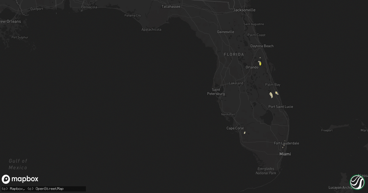
Hail Map in Florida on June 7, 2018
Get this storm
June 7 map
$229
one time, instant access
Download today. No call, no setup
Keep the $229
Bought the map and want the full workflow? Apply the entire $229 to a subscription within 7 days. None of it is wasted.
Every map, not just this one
This buys you this map. Subscription and you get every map we run, in the markets you choose from a few cities to whole states to nationwide. Plus real-time alerts the moment a storm fires.
Contact data
Name, contact info, occupancy, even credit band for addresses in the footprint. You go from where it hit to who to call.
Become the source they trust
Unlimited branding weather history reports on demand. You already have the documented answer ready for the property owner, and you are the one who showed up with it.
Property data and RoofTrace estimates
Pull up any address you have got, its value and the exact code rules for that jurisdiction, straight from One Click Code. Then RoofTrace estimates the squares, pitch, and roof value, priced the way you price.
Storm reports in Florida
Florida
| Date | Description |
|---|---|
| 06/07/20184:45 PM CDT | Member of the public relayed video from chuluota showing mainly dime to nickel sized hail with a few quarter sized mixed in. Another video relayed of strong winds rolli |
| 06/07/20181:20 PM CDT | North perry airport asos gusted to 69 mph at 220 pm. |
| 06/07/20182:35 AM CDT | At 735 PM EDT, a severe thunderstorm was located over Cocoa, moving southeast at 20 mph. HAZARD...60 mph wind gusts. SOURCE...Radar indicated. IMPACT...Expect damage to roofs, siding, and trees. Locations impacted include... Melbourne, Rockledge, Cocoa, Cocoa Beach and Satellite Beach. |
| 06/07/20181:53 AM CDT | At 652 PM EDT, a severe thunderstorm was located over Salt Springs, moving southwest at 25 mph. HAZARD...60 mph wind gusts and quarter size hail. SOURCE...Radar indicated. IMPACT...Hail damage to vehicles is expected. Expect wind damage to roofs, siding, and trees. Locations impacted include... Salt Springs, Lake Delancy and Georgetown. |
| 06/07/20181:47 AM CDT | At 646 PM EDT, a severe thunderstorm was located 9 miles southeast of Southwest Florida Airport, or 9 miles south of Lehigh Acres, moving north at 10 mph. HAZARD...60 mph wind gusts and quarter size hail. SOURCE...Radar indicated. IMPACT...Hail damage to vehicles is expected. Expect wind damage to roofs, siding, and trees. Locations impacted include... Lehigh Acres. |
| 06/07/201812:58 AM CDT | At 558 PM EDT, a severe thunderstorm was located 8 miles southwest of Homeland, or 8 miles west of Folkston, moving west at 15 mph. HAZARD...60 mph wind gusts and quarter size hail. SOURCE...Radar indicated. IMPACT...Hail damage to vehicles is expected. Expect wind damage to roofs, siding, and trees. Locations impacted include... Stephen Foster State Park. |
| 06/07/201812:51 AM CDT | At 551 PM EDT, a severe thunderstorm was located near Pittman, or 8 miles east of Emeralda, moving northeast at 15 mph. HAZARD...60 mph wind gusts and quarter size hail. SOURCE...Radar indicated. IMPACT...Hail damage to vehicles is expected. Expect wind damage to roofs, siding, and trees. This severe thunderstorm will remain over mainly rural areas of southeastern Marion County. |
| 06/07/201812:44 AM CDT | At 543 PM EDT, a severe thunderstorm was located near Chuluota, moving southeast at 10 mph. HAZARD...60 mph wind gusts and quarter size hail. SOURCE...Radar indicated. IMPACT...Hail damage to vehicles is expected. Expect wind damage to roofs, siding, and trees. Locations impacted include... Wedgefield, Bithlo, Christmas, Chuluota and Geneva. |
| 06/07/201812:40 AM CDT | At 539 PM EDT, a severe thunderstorm was located near Blue Cypress Lake, moving south at 10 mph. HAZARD...60 mph wind gusts and quarter size hail. SOURCE...Radar indicated. IMPACT...Hail damage to vehicles is expected. Expect wind damage to roofs, siding, and trees. Locations impacted include... Vero Beach, Indian River Shores, Vero Beach South, Gifford and Winter Beach. |
| 06/07/201812:36 AM CDT | At 535 PM EDT, a severe thunderstorm was located west of Interstate 95 in Viera, or 7 miles southwest of Rockledge, moving southeast at 10 mph. HAZARD...60 mph wind gusts and half dollar size hail. SOURCE...Radar indicated. IMPACT...Hail damage to vehicles is expected. Expect wind damage to roofs, siding, and trees. Locations impacted include... Melbourne, Camp Holly Fish Camp, Suntree and Palm Shores. |
| 06/06/201811:54 PM CDT | At 453 PM EDT, a severe thunderstorm was located over Vero Lake Estates, or over Sebastian Highlands, and is nearly stationary. An additional intensifying storm will approach Fellsmere from the west. HAZARD...60 mph wind gusts and penny size hail. SOURCE...Radar indicated. IMPACT...Expect damage to roofs, siding, and trees. Locations impacted include... Sebastian, Fellsmere, Indian River Shores, Roseland and Wabasso. |
| 06/06/20189:22 PM CDT | At 221 PM EDT, severe thunderstorms were located along a line extending from near Pompano Beach to Oak Point, moving northeast at 20 mph. HAZARD...60 mph wind gusts and quarter size hail. SOURCE...Radar indicated. IMPACT...Hail damage to vehicles is expected. Expect wind damage to roofs, siding, and trees. Locations impacted include... Fort Lauderdale, Pembroke Pines, Hollywood, Miramar and Pompano Beach. |
All States Impacted by Hail Map on June 7, 2018
Cities Impacted by Hail Map on June 7, 2018
- Merriman, NE
- Gordon, NE
- Capulin, NM
- Des Moines, NM
- Hayes, SD
- Gainesville, TX
- Fort Pierre, SD
- Colorado City, TX
- Loraine, TX
- Merkel, TX
- Tuscola, TX
- Wingate, TX
- Blackwell, TX
- Trent, TX
- Nolan, TX
- Sweetwater, TX
- Dix, NE
- Harrisburg, NE
- Folsom, NM
- Silverton, TX
- Booneville, AR
- Deadwood, SD
- Lead, SD
- Thompson, IA
- Forest City, IA
- Buffalo Center, IA
- Galata, MT
- Dickens, TX
- Belle Fourche, SD
- Perry, OK
- Hartley, TX
- Tecumseh, OK
- Shawnee, OK
- Denton, TX
- Richey, MT
- Lusk, WY
- Hardin, MT
- Terry, MT
- Ryegate, MT
- Lavina, MT
- Shawmut, MT
- Grass Range, MT
- Roundup, MT
- Judith Gap, MT
- Estero, FL
- Fort Myers, FL
- Ismay, MT
- Redstone, MT
- Flaxville, MT
- Blanchard, OK
- Alex, OK
- Lodge Grass, MT
- Bassett, NE
- Whitman, NE
- Hyannis, NE
- Forsyth, MT
- Burwell, NE
- Lambert, MT
- Poplar, MT
- Bloomfield, MT
- Froid, MT
- Brockton, MT
- Circle, MT
- West Lafayette, IN
- Umpire, AR
- Birney, MT
- Oshkosh, NE
- Crowell, TX
- Loring, MT
- Rochester, TX
- Rule, TX
- Knox City, TX
- Old Glory, TX
- O'Brien, TX
- Paducah, TX
- Seymour, TX
- Bighorn, MT
- Independence, IA
- Matador, TX
- Norman, OK
- Newalla, OK
- Irving, TX
- Dallas, TX
- Mill Creek, OK
- Ardmore, OK
- Mannsville, OK
- Whitetail, MT
- Whitewood, SD
- Busby, MT
- Vale, SD
- Hermleigh, TX
- Snyder, TX
- Roscoe, TX
- Maryneal, TX
- Hulett, WY
- Ideal, SD
- Hamill, SD
- Otterbein, IN
- Oxford, IN
- Fowler, IN
- Oklahoma City, OK
- Newcastle, OK
- Lindsay, OK
- Amber, OK
- Chickasha, OK
- Woden, IA
- Gas City, IN
- Upland, IN
- Tell, TX
- Childress, TX
- Otter, MT
- Oviedo, FL
- Hawley, TX
- Abilene, TX
- Pueblo, CO
- Billings, MT
- Clarksville, TX
- Vero Beach, FL
- Anna, TX
- Jay Em, WY
- Aspermont, TX
- Wilmont, MN
- Stamford, TX
- Scobey, MT
- Garryowen, MT
- Amelia, NE
- Edmond, OK
- Swayzee, IN
- Greentown, IN
- Lindsay, MT
- Bridger, MT
- Fort Smith, MT
- Verden, OK
- Anadarko, OK
- Clyde, TX
- Rosston, TX
- Sanger, TX
- Saint Jo, TX
- Era, TX
- Muenster, TX
- Rushville, NE
- Wagner, SD
- Bridgeport, NE
- Carbon, TX
- Gorman, TX
- Wall, SD
- Luther, OK
- Wellston, OK
- Johnstown, NE
- Muncie, IN
- Munday, TX
- Roberts, MT
- Red Lodge, MT
- Nisland, SD
- Newell, SD
- Sturgis, SD
- Yukon, OK
- Mcloud, OK
- Antelope, MT
- Cement, OK
- Cyril, OK
- Anson, TX
- Lueders, TX
- Avoca, TX
- Albany, TX
- Northwood, IA
- Turkey, TX
- Plentywood, MT
- Reserve, MT
- Lame Deer, MT
- Gillham, AR
- Hartville, WY
- Glendo, WY
- Rosebud, MT
- Gurley, NE
- Hendrix, OK
- Bonham, TX
- Savoy, TX
- Whitewright, TX
- Ravenna, TX
- Colbert, OK
- Ector, TX
- Calera, OK
- Osteen, FL
- Lake Dallas, TX
- Buffalo, WY
- Big Sandy, MT
- Lewellen, NE
- Southlake, TX
- Grapevine, TX
- Lockney, TX
- Aubrey, TX
- Pilot Point, TX
- Faith, SD
- Dupree, SD
- Lismore, MN
- Quail, TX
- Foster, OK
- Peru, IN
- Logansport, IN
- New Waverly, IN
- Walton, IN
- Paris, TX
- Roxton, TX
- Haskell, TX
- Justin, TX
- Ponder, TX
- Argyle, TX
- Ainsworth, NE
- Clancy, MT
- Girard, TX
- Big Timber, MT
- Henry, IL
- Quitaque, TX
- Clarendon, TX
- Lakeview, TX
- Sylvester, TX
- Channing, TX
- Jayton, TX
- Rotan, TX
- Crow Agency, MT
- Carney, OK
- Goree, TX
- Lewistown, MT
- Hilger, MT
- Stillwater, OK
- Point, TX
- Winner, SD
- Valley View, TX
- Carrollton, TX
- Kinsey, MT
- Lake Mills, IA
- Hanlontown, IA
- Kensett, IA
- Meeker, OK
- Boyes, MT
- Gering, NE
- Newport, NE
- Long Pine, NE
- Tryon, OK
- Tye, TX
- Dyess Afb, TX
- Wolf Point, MT
- Strasburg, CO
- Byers, CO
- Red Oak, OK
- Grannis, AR
- Wickes, AR
- Cisco, TX
- Orlando, OK
- Lucien, OK
- Leonard, TX
- Quanah, TX
- New Castle, IN
- Livingston, MT
- Erie, IL
- Crescent, OK
- Marshall, OK
- Cordova, IL
- Camp Crook, SD
- Milesville, SD
- Spur, TX
- Midland, SD
- Lake Andes, SD
- Grenville, NM
- Celeste, TX
- Harrison, NE
- Devol, OK
- Black Hawk, SD
- Coyle, OK
- Okarche, OK
- Wolcott, IN
- Reynolds, IN
- Remington, IN
- Brookston, IN
- Chalmers, IN
- Texarkana, TX
- Montague, TX
- Nocona, TX
- Straughn, IN
- Knightstown, IN
- Mooreland, IN
- Hagerstown, IN
- Middletown, IN
- Selma, IN
- Springport, IN
- Losantville, IN
- Dalhart, TX
- Fletcher, OK
- Edgemont, SD
- Ninnekah, OK
- Shelby, MT
- Hammond, MT
- Charlottesville, IN
- Shirley, IN
- Wilkinson, IN
- Mulhall, OK
- Durant, OK
- Geneva, FL
- Christmas, FL
- Nemo, SD
- Dierks, AR
- Westby, MT
- Harrah, OK
- Shelbyville, IN
- Covington, OK
- Fallon, MT
- Miles City, MT
- Bradley, OK
- Crawfordsville, IN
- Princeton, IL
- Marion, IN
- Jonesboro, IN
- Fairmount, IN
- Hartford City, IN
- Lisco, NE
- Custer, MT
- Meadow, SD
- Bison, SD
- Calamus, IA
- Grand Mound, IA
- Tulia, TX
- Sebastian, FL
- Fort Lauderdale, FL
- Hollywood, FL
- Roaring Springs, TX
- Hereford, TX
- Sulphur Springs, TX
- Brashear, TX
- Cumby, TX
- Kaycee, WY
- Greenfield, IN
- Ada, OK
- Konawa, OK
- Forest Grove, MT
- Ekalaka, MT
- Broadwater, NE
- Little Elm, TX
- Wabash, IN
- Hugo, CO
- Hettinger, ND
- New England, ND
- Regent, ND
- Camanche, IA
- Albany, IL
- Richland, MT
- Gladstone, NM
- Arthur, NE
- Homestead, MT
- Sunburst, MT
- Enid, OK
- Kremlin, OK
- Princeton, IA
- Le Claire, IA
- Vida, MT
- Fellsmere, FL
- Van Tassell, WY
- Dickinson, ND
- New Underwood, SD
- Owanka, SD
- Wasta, SD
- Howes, SD
- Madill, OK
- Fairfax, SD
- Pickstown, SD
- Torrington, WY
- Hillsdale, IL
- Bagwell, TX
- Detroit, TX
- Hereford, OR
- Annona, TX
- Blossom, TX
- Yeoman, IN
- Monticello, IN
- Delphi, IN
- Sulphur, OK
- Lone Oak, TX
- Chadron, NE
- Rush Springs, OK
- Fulda, MN
- Broken Bow, OK
- Krum, TX
- Prague, OK
- Bartlesville, OK
- Pawhuska, OK
- Waterloo, IA
- Dunkerton, IA
- Jesup, IA
- Wayside, TX
- Jackson, MN
- Lakefield, MN
- Hazleton, IA
- Hooks, TX
- Chambers, NE
- Ewing, NE
- Philip, SD
- De Witt, IA
- Streator, IL
- Commerce, TX
- Decker, MT
- Joice, IA
- Sheffield, IL
- Afton, TX
- Mcadoo, TX
- Princeton, TX
- Mckinney, TX
- Oilmont, MT
- Grandfield, OK
- Choctaw, OK
- Galveston, IN
- Onward, IN
- Valliant, OK
- Clayton, NM
- El Reno, OK
- Presho, SD
- Spencer, OK
- Piedmont, OK
- Jones, OK
- Bethany, OK
- Capitol, MT
- Kokomo, IN
- Belfry, MT
- Anchor, IL
- Hamlin, TX
- Clearmont, WY
- Vega, TX
- Douglas, OK
- Nye, MT
- Nash, TX
- Tussy, OK
- Ratliff City, OK
- Weinert, TX
- Lindsay, TX
- Winston, MT
- Biddle, MT
- Prairie City, SD
- Maud, OK
- Manly, IA
- Mason City, IA
- Kress, TX
- Crawford, NE
- Cherry Creek, SD
- Happy, TX
- Fromberg, MT
- Carthage, IN
- Bixby, OK
- Haskell, OK
- Bridgeport, OR
- Brule, NE
- Chandler, OK
- Alva, WY
- Greenville, TX
- Hedley, TX
- Elmore City, OK
- Union, IA
- De Queen, AR
- Wyola, MT
- Medicine Lake, MT
- Fairview, MT
- Culbertson, MT
- Douglas, WY
- Shawnee, WY


