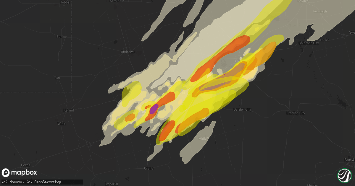
Hail Map in Midland, TX on May 20, 2019
Get this storm
May 20 map
$229
one time, instant access
Download today. No call, no setup
Keep the $229
Bought the map and want the full workflow? Apply the entire $229 to a subscription within 7 days. None of it is wasted.
Every map, not just this one
This buys you this map. Subscription and you get every map we run, in the markets you choose from a few cities to whole states to nationwide. Plus real-time alerts the moment a storm fires.
Contact data
Name, contact info, occupancy, even credit band for addresses in the footprint. You go from where it hit to who to call.
Become the source they trust
Unlimited branding weather history reports on demand. You already have the documented answer ready for the property owner, and you are the one who showed up with it.
Property data and RoofTrace estimates
Pull up any address you have got, its value and the exact code rules for that jurisdiction, straight from One Click Code. Then RoofTrace estimates the squares, pitch, and roof value, priced the way you price.
Storm reports in Midland, TX
Midland, TX
| Date | Description |
|---|---|
| 05/20/20196:57 PM CDT | 4 miles east of intersection of sh 349 and fm 1787 |
| 05/20/20196:50 PM CDT | Fm 1787 and sh 349 |
| 05/20/20195:40 PM CDT | A local report indicates a tornado near 10 S MIDLAND IN`TERNATI |
| 05/20/20195:30 PM CDT | A local report indicates a tornado near 7 NE PLEASANT FARMS |
| 05/19/201910:33 PM CDT | Quarter to half dollar sized hail reported in n midland. |
| 05/19/201910:25 PM CDT | A local report indicates 1.50 inch wind near 7 SW MIDLAND |
| 05/19/201910:25 PM CDT | At grande stadium |
| 05/19/201910:16 PM CDT | A local report indicates 1.25 inch wind near 2 NW MIDLAND |
| 05/19/20197:50 PM CDT | At the greenwood fire station on 1379 |
All Cities Impacted by Hail Map on May 20, 2019
- Sikeston, MO
- Afton, OK
- Vinita, OK
- Chelsea, OK
- Big Cabin, OK
- Paducah, TX
- Hennessey, OK
- Tulia, TX
- Silverton, TX
- Rotan, TX
- Stillwater, OK
- Glencoe, OK
- Fort Cobb, OK
- Anadarko, OK
- Apache, OK
- Gracemont, OK
- Reeds, MO
- Joplin, MO
- Miller, MO
- Avilla, MO
- Dadeville, MO
- Golden City, MO
- Lamar, MO
- Stockton, MO
- Dunnegan, MO
- La Russell, MO
- Stotts City, MO
- Lockwood, MO
- Willard, MO
- Fair Play, MO
- Everton, MO
- Sarcoxie, MO
- Walnut Grove, MO
- Webb City, MO
- Carthage, MO
- Jasper, MO
- Ash Grove, MO
- Greenfield, MO
- Arcola, MO
- Duenweg, MO
- Diamond, MO
- South Greenfield, MO
- Lockney, TX
- Lookeba, OK
- Carnegie, OK
- Binger, OK
- Hydro, OK
- Buffalo, OK
- Ralston, OK
- Pawnee, OK
- Fairfax, OK
- Springfield, MO
- Fair Grove, MO
- Elkland, MO
- Pleasant Hope, MO
- Buffalo, MO
- Lakeview, TX
- Mangum, OK
- Duke, OK
- Wynona, OK
- Midland, TX
- Norwood, MO
- Mansfield, MO
- Macomb, MO
- Roosevelt, OK
- Hobart, OK
- Spavinaw, OK
- Chickasha, OK
- Ninnekah, OK
- Dimmitt, TX
- Nazareth, TX
- Hart, TX
- Tahoka, TX
- Lubbock, TX
- Wilson, TX
- Follett, TX
- Booker, TX
- Big Spring, TX
- Erick, OK
- Clarendon, TX
- Douglas, OK
- Fairmont, OK
- Waukomis, OK
- Pampa, TX
- Hedley, TX
- Lelia Lake, TX
- Cheyenne, OK
- Stanton, TX
- Dexter, MO
- Fisk, MO
- Bloomfield, MO
- Dudley, MO
- Grove, OK
- Miami, OK
- Mulhall, OK
- Skiatook, OK
- Morrison, OK
- Carterville, MO
- Jennings, OK
- Glenpool, OK
- Quapaw, OK
- Orlando, OK
- Barnsdall, OK
- Marshall, OK
- Oologah, OK
- Guthrie, OK
- Lucien, OK
- Agra, OK
- Crescent, OK
- Kaw City, OK
- Stark City, MO
- Ponca City, OK
- Burbank, OK
- Pawhuska, OK
- Fairland, OK
- Catoosa, OK
- Dover, OK
- Vera, OK
- Stroud, OK
- Coweta, OK
- Drumright, OK
- Coyle, OK
- Mounds, OK
- Goodman, MO
- Wellston, OK
- Cleveland, OK
- Maramec, OK
- Inola, OK
- Jenks, OK
- Sapulpa, OK
- Osage, OK
- Bixby, OK
- Bison, OK
- Collinsville, OK
- Picher, OK
- Neosho, MO
- Wyandotte, OK
- Sperry, OK
- Seneca, MO
- Baxter Springs, KS
- Chandler, OK
- Cushing, OK
- Tryon, OK
- Pierce City, MO
- Granby, MO
- Marland, OK
- Anderson, MO
- Covington, OK
- Bois D Arc, MO
- Carney, OK
- Wentworth, MO
- Delaware, OK
- Ramona, OK
- Ripley, OK
- Hominy, OK
- Terlton, OK
- Shidler, OK
- Sand Springs, OK
- Owasso, OK
- Prue, OK
- Nowata, OK
- Bristow, OK
- Morrisville, MO
- Aldrich, MO
- Broken Arrow, OK
- Adair, OK
- Mannford, OK
- Talala, OK
- Newkirk, OK
- Perry, OK
- Claremore, OK
- Jay, OK
- Bluejacket, OK
- Depew, OK
- Tulsa, OK
- Kiefer, OK
- Yale, OK
- Red Rock, OK
- Perkins, OK
- Galena, KS
- Borger, TX
- Woodward, OK
- Canadian, TX
- Fort Supply, OK
- Perryton, TX
- Laverne, OK
- Lipscomb, TX
- Gage, OK
- Fargo, OK
- Higgins, TX
- Shattuck, OK
- Mcadoo, TX
- Crosbyton, TX
- Morse, TX
- Stinnett, TX
- Spearman, TX
- Miami, TX
- Kingfisher, OK
- Seymour, TX
- Crowell, TX
- Vernon, TX
- Wellington, TX
- Childress, TX
- Pineville, MO
- Gravette, AR
- Noel, MO
- Seligman, MO
- Sulphur Springs, AR
- Bella Vista, AR
- Pea Ridge, AR
- Washburn, MO
- Powell, MO
- Conway, MO
- Enid, OK
- Hinton, OK
- Watonga, OK
- Canton, OK
- Salina, OK
- Wagoner, OK
- Chouteau, OK
- Locust Grove, OK
- Mclean, TX
- Electra, TX
- Munday, TX
- Goree, TX
- Post, TX
- Lamesa, TX
- Ackerly, TX
- O'Brien, TX
- Rochester, TX
- Rule, TX
- Knox City, TX
- Elk City, OK
- Hammon, OK
- Butler, OK
- Shamrock, TX
- Coahoma, TX
- Sedan, KS
- Peru, KS
- Medford, OK
- Dodson, TX
- Rush Springs, OK
- Gail, TX
- Sheldon, MO
- Liberal, MO
- Bronaugh, MO
- Willow, OK
- Leedey, OK
- Putnam, OK
- Taloga, OK
- Sayre, OK
- Custer City, OK
- Clinton, OK
- Plainview, TX
- Sentinel, OK
- Carter, OK
- Sweetwater, OK
- Little Rock, AR
- Paron, AR
- Alexander, AR
- Rogers, AR
- Bentonville, AR
- Arnett, OK
- Walters, OK
- Goldsmith, TX
- Ralls, TX
- Floydada, TX
- Welch, TX
- Odonnell, TX
- Mountain Grove, MO
- Cabool, MO
- Graff, MO
- Memphis, TX
- Okmulgee, OK
- Beggs, OK
- Canyon, TX
- Odessa, TX
- Blanchard, OK
- Lebanon, MO
- Iowa Park, TX
- Harrold, TX
- Nevada, MO
- Milo, MO
- Mindenmines, MO
- Faxon, OK
- Cedar Vale, KS
- Ringwood, OK
- Helena, OK
- Goltry, OK
- Union City, OK
- El Reno, OK
- Oklahoma City, OK
- Cordell, OK
- Gotebo, OK
- Amarillo, TX
- Wheeler, TX
- Thomas, OK
- Crawford, OK
- Briscoe, TX
- Reydon, OK
- Seiling, OK
- Chester, OK
- Texola, OK
- Oakwood, OK
- Durham, OK
- Shawnee, OK
- Westbrook, TX
- Garden City, TX
- Monett, MO
- Purdy, MO
- Quail, TX
- Minco, OK
- Old Glory, TX
- Independence, KS
- Monahans, TX
- Hunter, OK
- Aspermont, TX
- Snyder, TX
- Roby, TX
- Hamlin, TX
- Sweetwater, TX
- Yukon, OK
- Fordland, MO
- Seymour, MO
- Justiceburg, TX
- Fluvanna, TX
- Lonsdale, AR
- Hot Springs Village, AR
- Mooreland, OK
- Meno, OK
- Quanah, TX
- Piedmont, OK
- Midkiff, TX
- Girard, TX
- Eldorado, OK
- Burkburnett, TX
- Devol, OK
- Grandfield, OK
- Quitaque, TX
- Lorenzo, TX
- Idalou, TX
- Turkey, TX
- Matador, TX
- Knott, TX
- Gardendale, TX
- McCamey, TX
- Andrews, TX
- Loveland, OK
- Weir, KS
- Girard, KS
- Pittsburg, KS
- Frontenac, KS
- Cherokee, KS
- Hermleigh, TX
- Purcell, OK
- Granite, OK
- Prague, OK
- Paden, OK
- Mobeetie, TX
- Grovespring, MO
- Dewey, OK
- El Dorado Springs, MO
- Canute, OK
- Sasakwa, OK
- Hollis, OK
- Cee Vee, TX
- Spur, TX
- Weinert, TX
- Oklaunion, TX
- Davidson, OK
- Slaton, TX
- Dickens, TX
- Frederick, OK
- Randlett, OK
- Benjamin, TX
- Denham Springs, LA
- Pine Grove, LA
- Fairview, OK
- Luther, OK
- Long Lane, MO
- Phillipsburg, MO
- Masterson, TX
- Channing, TX
- Galena, MO
- Crane, MO
- Mcloud, OK
- Meeker, OK
- Dill City, OK
- Colcord, OK
- Rose, OK
- Cashion, OK
- Okarche, OK
- Okeene, OK
- Ada, OK
- Gould, OK
- Benton, AR
- Manchester, OK
- Poplar Bluff, MO
- Essex, MO
- Puxico, MO
- Ames, OK
- Noble, OK
- Lawton, OK
- Niangua, MO
- Hitchcock, OK
- Lenorah, TX
- Tarzan, TX
- Ira, TX
- Calumet, OK
- Geary, OK
- Vega, TX
- Pryor, OK
- Vinson, OK
- Wheaton, MO
- Rocky Comfort, MO
- Exeter, MO
- Fairview, MO
- Geronimo, OK
- Lone Wolf, OK
- Falcon, MO
- Mountain View, OK
- Marshfield, MO
- Dumas, TX
- Stella, MO
- Weatherford, OK
- Brighton, MO
- Bolivar, MO
- Half Way, MO
- Roaring Springs, TX
- Afton, TX
- Jerico Springs, MO
- Davenport, OK
- Canaan, ME
- Bartlesville, OK
- Vici, OK
- Mutual, OK
- Claude, TX
- Gentry, AR
- Eucha, OK
- South West City, MO
- Hiwasse, AR
- Decatur, AR
- Maysville, AR
- Newalla, OK
- Flomot, TX
- Roland, AR
- Braman, OK
- Colony, OK
- Cheney, KS
- Norwich, KS
- McCune, KS
- Oswego, KS
- Welch, OK
- Arapaho, OK
- Amber, OK
- Alex, OK
- Norman, OK
- Washington, OK
- Newcastle, OK
- Jet, OK
- Kellyville, OK
- Happy, TX
- Ava, MO
- Oldfield, MO
- Sparta, MO
- Seagraves, TX
- Longdale, OK
- Loraine, TX
- Colorado City, TX
- Broseley, MO
- Gate, OK
- Cache, OK
- Sharon, OK
- Arcadia, OK
- Garber, OK
- Kremlin, OK
- Tishomingo, OK
- Kenefic, OK
- Milburn, OK
- Sunray, TX
- Kansas, OK
- Chillicothe, TX
- Pocasset, OK
- Niotaze, KS
- Caney, KS
- Havana, KS
- Brownfield, TX
- Darrouzett, TX
- Balko, OK
- May, OK
- Viola, KS
- Carrier, OK
- Tuttle, OK
- Tonkawa, OK
- Billings, OK
- Tecumseh, OK
- Coleman, OK
- Moline, KS
- Fritch, TX
- Skowhegan, ME
- Corn, OK
- Marlow, OK
- Fletcher, OK
- Bradley, OK
- Nash, OK
- Edmond, OK
- Wakita, OK
- Lindsay, OK
- Madill, OK
- Scammon, KS
- West Mineral, KS
- Cherryvale, KS
- Drummond, OK
- Hartville, MO
- Greensburg, LA
- Seminole, TX
- Dalhart, TX
- Aline, OK
- Boley, OK
- Castle, OK
- Verden, OK
- Haskell, TX
- McCaulley, TX
- Hollister, OK
- Jayton, TX
- Crane, TX
- Sylvester, TX
- Roscoe, TX
- Panhandle, TX
- Lamont, OK
- Tiff City, MO
- Jessieville, AR
- Gruver, TX
- Wolfforth, TX
- Sheffield, TX
- Ozona, TX


