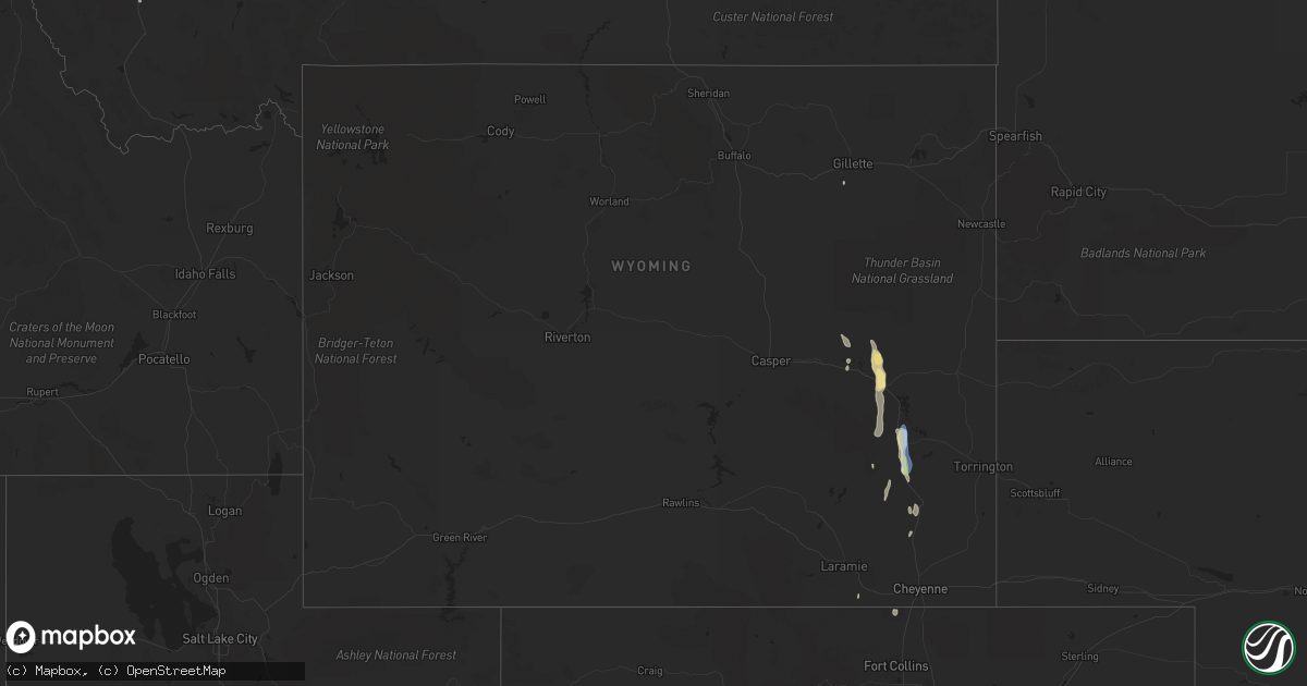
Hail Map in Wyoming on May 19, 2020
Get this storm
May 19 map
$229
one time, instant access
Download today. No call, no setup
Keep the $229
Bought the map and want the full workflow? Apply the entire $229 to a subscription within 7 days. None of it is wasted.
Every map, not just this one
This buys you this map. Subscription and you get every map we run, in the markets you choose from a few cities to whole states to nationwide. Plus real-time alerts the moment a storm fires.
Contact data
Name, contact info, occupancy, even credit band for addresses in the footprint. You go from where it hit to who to call.
Become the source they trust
Unlimited branding weather history reports on demand. You already have the documented answer ready for the property owner, and you are the one who showed up with it.
Property data and RoofTrace estimates
Pull up any address you have got, its value and the exact code rules for that jurisdiction, straight from One Click Code. Then RoofTrace estimates the squares, pitch, and roof value, priced the way you price.
Storm reports in Wyoming
Wyoming
| Date | Description |
|---|---|
| 05/19/20202:03 AM CDT | At 703 PM MDT, a severe thunderstorm was located 11 miles west of Guernsey Campground, or 15 miles north of Wheatland, moving north at 50 mph. HAZARD...60 mph wind gusts and quarter size hail. SOURCE...Radar indicated. IMPACT...Hail damage to vehicles is expected. Expect wind damage to roofs, siding, and trees. Locations impacted include... Glendo, Guernsey Campground, Sibley Peak, Glendo Reservoir and Two Moon Campground.This includes Interstate 25 in Wyoming between mile markers 85 and111. |
| 05/18/20208:55 PM CDT | Awos station kean 1 ene wheatland. |
| 05/18/20208:22 PM CDT | Mesonet station wy1 8.4 s sibley peak |
| 05/18/20207:50 PM CDT | Public report with image of hail 30 mins after storm passed. |
| 05/18/20207:46 PM CDT | Hail up to the size of quarters. Cocorahs report provided. |
Cities Impacted by Hail Map on May 19, 2020
- Roundup, MT
- Grass Range, MT
- Melville, MT
- Lavina, MT
- Big Timber, MT
- Shawmut, MT
- Ryegate, MT
- Abernathy, TX
- Winnett, MT
- Lubbock, TX
- Shallowater, TX
- Anton, TX
- Plainview, TX
- Hale Center, TX
- Simla, CO
- Agate, CO
- Rocky Ford, CO
- Grenville, NM
- Hereford, TX
- Childress, TX
- Silverton, TX
- Manzanola, CO
- Wilsall, MT
- Livingston, MT
- Quitaque, TX
- Lockney, TX
- Douglas, WY
- Arlington, CO
- Sugar City, CO
- Olney Springs, CO
- Ordway, CO
- Crowley, CO
- Ralls, TX
- McLeod, MT
- Greycliff, MT
- Melrose, MT
- Silver Star, MT
- Divide, MT
- Dillon, MT
- Twin Bridges, MT
- Boulder, MT
- Floydada, TX
- Lorenzo, TX
- Crosbyton, TX
- Wheatland, WY
- Absarokee, MT
- Reed Point, MT
- East Helena, MT
- Slaton, TX
- Wilson, TX
- Tahoka, TX
- Post, TX
- Turkey, TX
- Hart, TX
- Dimmitt, TX
- Kress, TX
- Chugwater, WY
- Moore, MT
- Tulia, TX
- Helena, MT
- Wolf Creek, MT
- Geyser, MT
- Olton, TX
- Rapelje, MT
- Butte, MT
- Coffee Creek, MT
- Garrett, WY
- Clancy, MT
- Glendo, WY
- Two Dot, MT
- Karval, CO
- Broadview, MT
- Power, MT
- Carter, MT
- Floweree, MT
- Claude, TX
- Lewistown, MT
- Littlefield, TX
- Wolfforth, TX
- Cheyenne, WY
- Glen, MT
- Stanford, MT
- Boone, CO
- Earth, TX
- Mathis, TX
- Wayside, TX
- Belle Glade, FL
- Tell, TX
- Great Falls, MT
- Sun River, MT
- Buford, WY
- Wellington, CO
- Buffalo, MT
- Gillette, WY
- Loxahatchee, FL
- Wise River, MT
- Idalou, TX
- West Palm Beach, FL
- Vona, CO
- San Jon, NM
- Bard, NM
- Marysville, MT
- Canyon Creek, MT
- Vaughn, MT
- Dutton, MT


