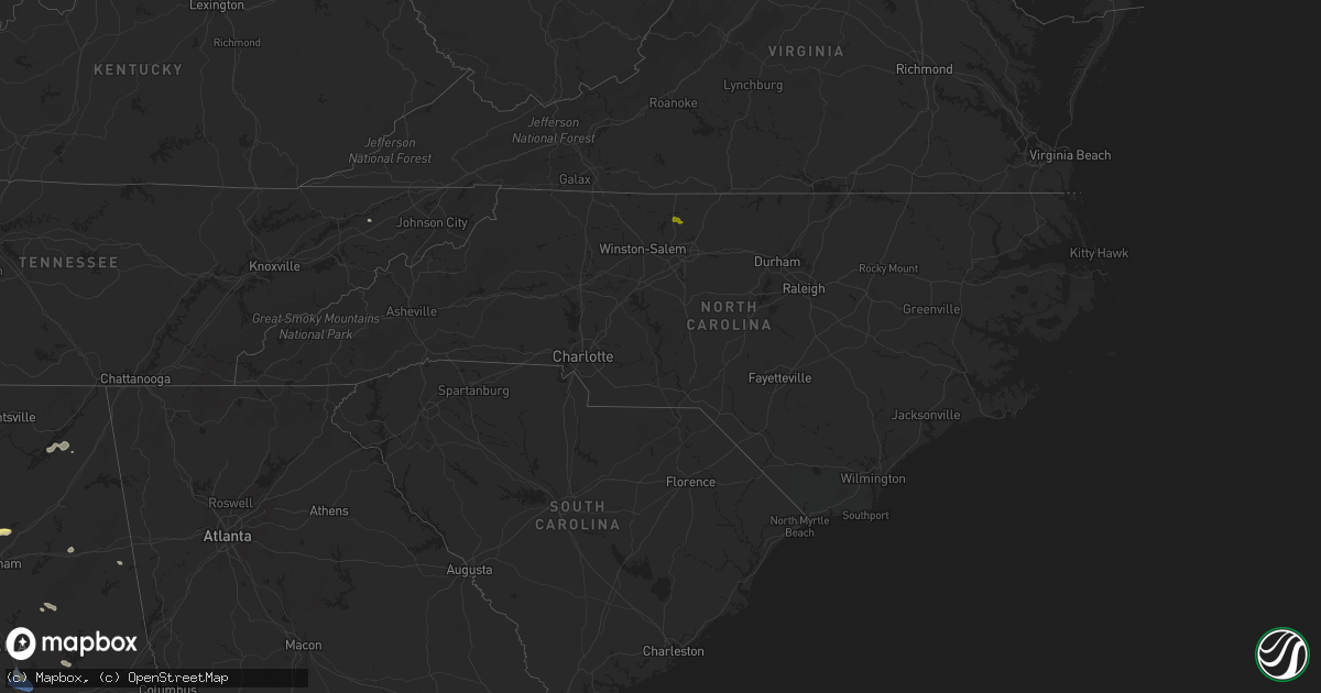
Hail Map in North Carolina on May 18, 2024
Get this storm
May 18 map
$229
one time, instant access
Download today. No call, no setup
Keep the $229
Bought the map and want the full workflow? Apply the entire $229 to a subscription within 7 days. None of it is wasted.
Every map, not just this one
This buys you this map. Subscription and you get every map we run, in the markets you choose from a few cities to whole states to nationwide. Plus real-time alerts the moment a storm fires.
Contact data
Name, contact info, occupancy, even credit band for addresses in the footprint. You go from where it hit to who to call.
Become the source they trust
Unlimited branding weather history reports on demand. You already have the documented answer ready for the property owner, and you are the one who showed up with it.
Property data and RoofTrace estimates
Pull up any address you have got, its value and the exact code rules for that jurisdiction, straight from One Click Code. Then RoofTrace estimates the squares, pitch, and roof value, priced the way you price.
Storm reports in North Carolina
North Carolina
| Date | Description |
|---|---|
| 05/18/20244:00 PM CDT | Tree down. |
| 05/18/20244:00 PM CDT | Trees down along fall creek school road. |
| 05/18/20244:00 PM CDT | Several trees down in town. |
| 05/18/20243:55 PM CDT | Thunderstorm winds blew down one tree near the intersection of flat rock road and lake meadows drive. |
| 05/18/20243:50 PM CDT | 3 trees down. 1 at the wilkesboro speedway and 2 in wilkesboro. Several tents were also blown down at the racetrack. |
| 05/18/20243:16 PM CDT | Thunderstorm winds blew down one tree near the 600 block of chandler road. |
| 05/18/20243:13 PM CDT | Thunderstorm winds blew down one tree near the intersection of cody trail and garden ridge lane. |
| 05/18/20242:17 PM CDT | The surry county 911 center reported that a tree was down near the intersection of haystack road and devotion estate way near the town of devotion. The downed tree was |
| 05/18/20241:56 PM CDT | The wilkes county emergency manager reported a small confined area in which several trees were twisted... Blown over... Or otherwise damaged... Including some embedded |
All States Impacted by Hail Map on May 18, 2024
Cities Impacted by Hail Map on May 18, 2024
- Pensacola, FL
- Magnolia Springs, AL
- Loxley, AL
- Elberta, AL
- Silverhill, AL
- Foley, AL
- Robertsdale, AL
- Gulf Shores, AL
- Daphne, AL
- Lillian, AL
- Fairhope, AL
- Bon Secour, AL
- Summerdale, AL
- Orange Beach, AL
- Baker, FL
- Crestview, FL
- Russellville, AL
- Mount Hope, AL
- Moulton, AL
- Aberdeen, MS
- Hamilton, MS
- Danville, AL
- Hartselle, AL
- Deland, FL
- Okahumpka, FL
- Lake Helen, FL
- Leesburg, FL
- Altoona, FL
- Umatilla, FL
- Houston, MS
- Okolona, MS
- Grand Island, FL
- Tavares, FL
- Madison, NC
- Reidsville, NC
- Groveoak, AL
- Langston, AL
- Guntersville, AL
- Vero Beach, FL
- Summerfield, NC
- Cornell, WI
- Cadott, WI
- Gardendale, AL
- Warrior, AL
- Fyffe, AL
- Section, AL
- Galax, VA
- Paisley, FL
- Strum, WI
- Whitehall, WI
- Morris, AL
- Kimberly, AL
- Pinson, AL
- Fort McCoy, FL
- Osseo, WI
- Independence, WI
- Fort Pierce, FL
- Pierson, FL
- Boyd, WI
- Holcombe, WI
- Gilman, WI
- Ladysmith, WI
- Winter, WI
- Medford, WI
- De Leon Springs, FL
- Remlap, AL
- Gordo, AL
- Trafford, AL
- Ormond Beach, FL
- Astor, FL
- Bunnell, FL
- Phillips, WI
- Saint Cloud, FL
- Fairchild, WI
- Buhl, AL
- Melbourne Beach, FL
- Springville, AL
- Augusta, WI
- Willard, WI
- Blair, WI
- Taylor, WI
- Black River Falls, WI
- Park Falls, WI
- Fosters, AL
- Tuscaloosa, AL
- Ralph, AL
- Hixton, WI
- Ettrick, WI
- Hayden, AL
- Kennan, WI
- Westboro, WI
- Merrillan, WI
- Alma Center, WI
- Lublin, WI
- Neillsville, WI
- Butternut, WI
- Rib Lake, WI
- Montreal, WI
- Fifield, WI
- Duncanville, AL
- Lincoln, AL
- Rogersville, TN
- Withee, WI
- Greenwood, WI
- Merrill, WI
- Mercer, WI
- Hurley, WI
- Bessemer, MI
- Eastaboga, AL
- Anniston, AL
- Wakefield, MI
- Ironwood, MI
- Ontonagon, MI
- Humbird, WI
- Greeneville, TN
- Lac Du Flambeau, WI
- Minocqua, WI
- Nisula, MI
- Mass City, MI
- Loxahatchee, FL
- Iron Belt, WI
- Ramsay, MI
- Tomahawk, WI
- Woodruff, WI
- Wellington, FL
- Bergland, MI
- Marenisco, MI
- Dorchester, WI
- Curtiss, WI
- Pompano Beach, FL
- Pittsville, WI
- Lake Worth, FL
- Gile, WI
- Stetsonville, WI
- Abbotsford, WI
- Athens, WI
- Irma, WI
- Ewen, MI
- Bruce Crossing, MI
- Warrens, WI
- Gleason, WI
- Coral Springs, FL
- Sylacauga, AL
- Babcock, WI
- Ranburne, AL
- Hobe Sound, FL
- Manitowish Waters, WI
- Boynton Beach, FL
- Goodwater, AL
- Palm Beach, FL
- Lake Worth Beach, FL
- Elcho, WI
- Wisconsin Rapids, WI
- Nekoosa, WI
- Necedah, WI
- Pelican Lake, WI
- Summit Lake, WI
- Deerbrook, WI
- Pearson, WI
- Port Edwards, WI
- Calumet, MI
- Hancock, MI
- Bancroft, WI
- Rhinelander, WI
- Crandon, WI
- Gays Mills, WI
- Soldiers Grove, WI
- Blue River, WI
- Pickerel, WI
- Lake Tomahawk, WI
- Viola, WI
- Richland Center, WI
- Muscoda, WI
- Plainfield, WI
- Almond, WI
- Laona, WI
- Wabeno, WI
- Prattville, AL
- Athelstane, WI
- Deatsville, AL
- Eclectic, AL
- Booth, AL
- Millbrook, AL
- Coosada, AL
- Argonne, WI
- Waupaca, WI
- Tallassee, AL
- Stevens Point, WI
- Brantwood, WI
- Amberg, WI
- Pembine, WI
- Florence, WI
- Fence, WI
- Ogema, WI
- Prentice, WI
- Armstrong Creek, WI
- Dunbar, WI
- Wild Rose, WI
- Long Lake, WI
- Reedsburg, WI
- Loganville, WI
- Goodman, WI
- Custer, WI
- Arcadia, WI
- Rock Springs, WI
- Niagara, WI
- Kingsford, MI
- Iron Mountain, MI
- Hasty, CO
- McClave, CO
- West Palm Beach, FL
- Plover, WI
- Amherst, WI
- Quinnesec, MI
- Wiley, CO
- Norway, MI
- Pine River, WI
- Vulcan, MI
- Weyauwega, WI
- Haswell, CO
- Eads, CO
- Hermansville, MI
- Foster City, MI
- Perronville, MI
- Arlington, CO
- Lamar, CO
- Bark River, MI
- Las Animas, CO
- Fremont, WI
- New London, WI
- Cornell, MI
- Granada, CO
- Little Lake, MI
- Rock, MI
- Holly, CO
- Toxey, AL
- Butler, AL
- Bird City, KS
- Coolidge, KS
- Syracuse, KS
- Marienthal, KS
- Holcomb, KS
- Scott City, KS
- Healy, KS
- Everglades City, FL
- Atwood, KS
- Colby, KS
- Selden, KS
- Stratton, NE
- Benkelman, NE
- York, NE
- Herndon, KS
- Culbertson, NE
- Trenton, NE
- Ludell, KS
- Benedict, NE
- Waco, NE
- Max, NE
- Glasco, KS
- Delphos, KS
- Concordia, KS
- Oberlin, KS
- Stromsburg, NE
- Utica, NE
- Gresham, NE
- Staplehurst, NE
- Ulysses, NE
- Fairbury, NE
- Daykin, NE
- Rexford, KS
- Seward, NE
- Bee, NE
- Garland, NE
- Western, NE
- Swanton, NE
- Plymouth, NE
- Gem, KS
- McCook, NE
- Raymond, NE
- Malcolm, NE
- Valparaiso, NE
- Pleasant Dale, NE
- Lincoln, NE
- Jansen, NE
- Canton, KS
- Davey, NE
- Waverly, NE
- Palisade, NE
- Jetmore, KS
- Alvo, NE
- Greenwood, NE
- Eagle, NE
- Syracuse, NE
- Otoe, NE
- Avoca, NE
- Unadilla, NE
- Murdock, NE
- Ashland, NE
- Weeping Water, NE
- Manley, NE
- Elmwood, NE
- Louisville, NE
- Iola, WI
- Arpin, WI
- Rudolph, WI
- Vesper, WI
- Hancock, WI
- Junction City, WI


