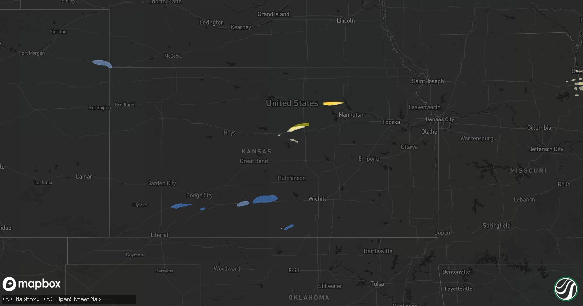
Hail Map in Kansas on May 14, 2026
Get this storm
May 14 map
$229
one time, instant access
Download today. No call, no setup
Keep the $229
Bought the map and want the full workflow? Apply the entire $229 to a subscription within 7 days. None of it is wasted.
Every map, not just this one
This buys you this map. Subscription and you get every map we run, in the markets you choose from a few cities to whole states to nationwide. Plus real-time alerts the moment a storm fires.
Contact data
Name, contact info, occupancy, even credit band for addresses in the footprint. You go from where it hit to who to call.
Become the source they trust
Unlimited branding weather history reports on demand. You already have the documented answer ready for the property owner, and you are the one who showed up with it.
Property data and RoofTrace estimates
Pull up any address you have got, its value and the exact code rules for that jurisdiction, straight from One Click Code. Then RoofTrace estimates the squares, pitch, and roof value, priced the way you price.
Storm reports in Kansas
Kansas
| Date | Description |
|---|---|
| 05/14/20266:28 PM CDT | Report was from a public weather station |
| 05/14/20265:04 PM CDT | A local report indicates 60 MPH wind near 4 SE Iuka |
| 05/14/20265:04 PM CDT | A power pole was snapped on highway 54 on the east side of pratt. |
| 05/14/20264:45 PM CDT | Report was from a private weather station kksashla4. |
| 05/13/20267:45 PM CDT | A local report indicates 1.00 inch wind near Culver |
| 05/13/20267:44 PM CDT | A local report indicates 1.25 inch wind near 1 N Culver |
| 05/13/20267:37 PM CDT | Delayed report of wind damage. Multiple tree branches up to 6 inches in diameter broken off trees in norwich. |
| 05/13/20267:30 PM CDT | A local report indicates 1.50 inch wind near 1 NNW Clay Center |
| 05/13/20267:30 PM CDT | A local report indicates 1.25 inch wind near Clay Center |
| 05/13/20267:30 PM CDT | Mesonet station dw9907 bloom. |
| 05/13/20267:29 PM CDT | Corrects previous non-tstm wnd gst report from 2 nnw anthony. Storm chaser estimated 60 mph winds that shook the vehicle pretty hard. |
| 05/13/20267:21 PM CDT | Corrects time for previous tstm wnd gst report from 3 w clay center. Delayed social media report. Time estimated radar. |
| 05/13/20267:05 PM CDT | Spotter reported a couple of hailstones to quarter-size in the storm. |
| 05/13/20267:03 PM CDT | Delayed social media report. Time estimated radar. |
All States Impacted by Hail Map on May 14, 2026
Cities Impacted by Hail Map on May 14, 2026
- Olivet, SD
- House, NM
- Mcalister, NM
- Melrose, NM
- Vega, TX
- Adrian, TX
- Clovis, NM
- Texico, NM
- Wray, CO
- Bovina, TX
- Farwell, TX
- Friona, TX
- Levelland, TX
- Sundown, TX
- Haviland, KS
- Pratt, KS
- Saint Francis, KS
- Haigler, NE
- Cunningham, KS
- Turon, KS
- Iuka, KS
- Claude, TX
- Canyon, TX
- Hereford, TX
- Dimmitt, TX
- Hart, TX
- Happy, TX
- Tulia, TX
- Nazareth, TX
- Shallowater, TX
- Lubbock, TX
- Pampa, TX
- Groom, TX
- Panhandle, TX
- Clarendon, TX
- Mclean, TX
- Bird City, KS
- McDonald, KS
- Miami, TX
- Kress, TX
- Wheeler, TX
- Canadian, TX
- Mobeetie, TX
- Shamrock, TX
- Clay Center, KS
- Ellsworth, KS
- Childress, TX
- Beverly, KS
- Lincoln, KS
- Anthony, KS
- Quanah, TX
- Brookville, KS
- Tescott, KS
- Salina, KS
- Leonardville, KS
- Green, KS
- Bennington, KS
- Lindsborg, KS
- Freeport, KS
- Danville, KS
- Harper, KS
- Monroe City, MO
- Taylor, MO
- Hannibal, MO
- Palmyra, MO
- Hull, IL
- New London, MO
- Quincy, IL
- Liberty, IL
- Plainville, IL
- Payson, IL
- Roodhouse, IL
- Center, MO
- Kinderhook, IL
- Copeland, KS
- Ensign, KS
- Montezuma, KS
- Minneola, KS


