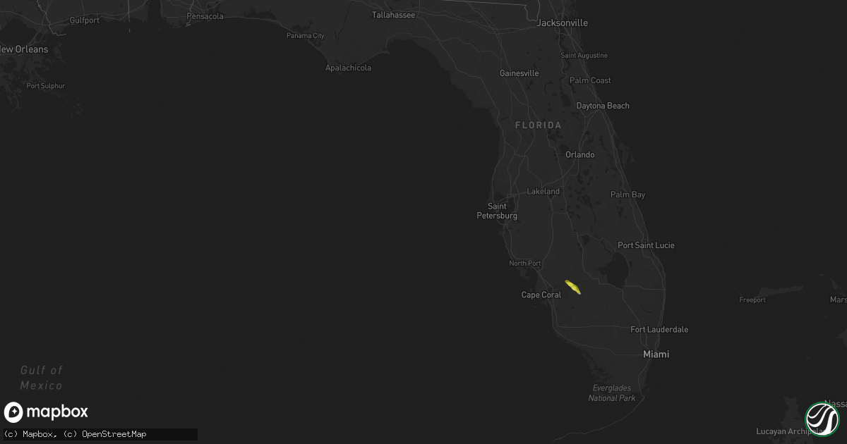
Hail Map in Florida on May 13, 2021
Get this storm
May 13 map
$229
one time, instant access
Download today. No call, no setup
Keep the $229
Bought the map and want the full workflow? Apply the entire $229 to a subscription within 7 days. None of it is wasted.
Every map, not just this one
This buys you this map. Subscription and you get every map we run, in the markets you choose from a few cities to whole states to nationwide. Plus real-time alerts the moment a storm fires.
Contact data
Name, contact info, occupancy, even credit band for addresses in the footprint. You go from where it hit to who to call.
Become the source they trust
Unlimited branding weather history reports on demand. You already have the documented answer ready for the property owner, and you are the one who showed up with it.
Property data and RoofTrace estimates
Pull up any address you have got, its value and the exact code rules for that jurisdiction, straight from One Click Code. Then RoofTrace estimates the squares, pitch, and roof value, priced the way you price.
Storm reports in Florida
Florida
| Date | Description |
|---|---|
| 05/13/20215:45 PM CDT | Spotter reported hail up to quarter size on hwy 29 in hendry county between labelle and felda. |
| 05/13/20211:11 AM CDT | At 611 PM EDT, a severe thunderstorm was located near Labelle, moving southeast at 20 mph. HAZARD...60 mph wind gusts and half dollar size hail. SOURCE...Radar indicated. IMPACT...Hail damage to vehicles is expected. Expect wind damage to roofs, siding, and trees. Locations impacted include... Labelle, Port La Belle, Felda, Devils Garden and Ortona. |
Cities Impacted by Hail Map on May 13, 2021
- Lance Creek, WY
- Labelle, FL
- Leoti, KS
- Winona, KS
- Edgemont, SD
- Wallace, NE
- Wray, CO
- Ashby, NE
- Colby, KS
- Edson, KS
- Saint Francis, KS
- North Platte, NE
- Weston, WY
- Arthur, NE
- Dickens, NE
- Hershey, NE
- Paxton, NE
- Sutherland, NE
- Elsie, NE
- Haigler, NE
- Keystone, NE
- Brewster, KS
- Goodland, KS
- Hayes Center, NE
- McCook, NE
- Maywood, NE
- Oshkosh, NE
- Ellsworth, NE
- Harrison, NE
- Wellfleet, NE
- Cambridge, NE
- Wilsonville, NE
- Hemingford, NE
- Ogallala, NE
- Bird City, KS
- Hendley, NE
- Norton, KS
- Lebanon, NE
- Indianola, NE
- Crawford, NE
- Parks, NE
- Stockville, NE
- Scott City, KS
- Holyoke, CO
- Lenora, KS


