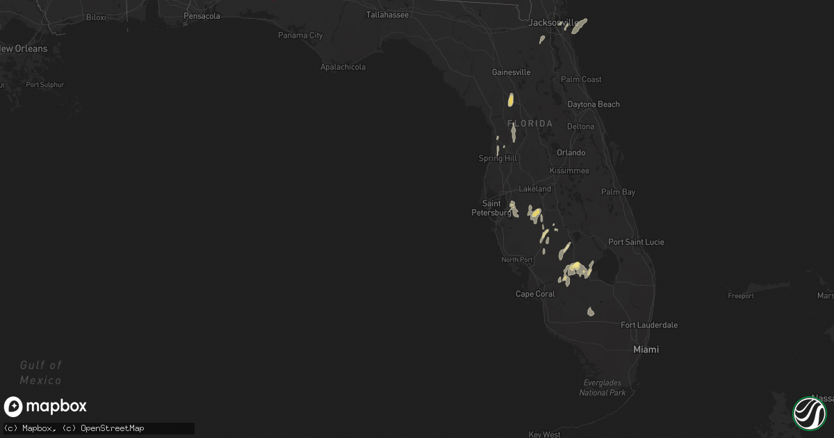
Hail Map in Florida on May 10, 2025
Get this storm
May 10 map
$229
one time, instant access
Download today. No call, no setup
Keep the $229
Bought the map and want the full workflow? Apply the entire $229 to a subscription within 7 days. None of it is wasted.
Every map, not just this one
This buys you this map. Subscription and you get every map we run, in the markets you choose from a few cities to whole states to nationwide. Plus real-time alerts the moment a storm fires.
Contact data
Name, contact info, occupancy, even credit band for addresses in the footprint. You go from where it hit to who to call.
Become the source they trust
Unlimited branding weather history reports on demand. You already have the documented answer ready for the property owner, and you are the one who showed up with it.
Property data and RoofTrace estimates
Pull up any address you have got, its value and the exact code rules for that jurisdiction, straight from One Click Code. Then RoofTrace estimates the squares, pitch, and roof value, priced the way you price.
Storm reports in Florida
Florida
| Date | Description |
|---|---|
| 05/10/20252:10 PM CDT | Fisheating creek campsite reported quarter size hail from a thunderstorm. |
| 05/10/202511:15 AM CDT | All lanes on sr-79 near sr-2 reported closed due to debris on the roadway. |
| 05/10/202511:12 AM CDT | Reports of trees down and structure damage on cr177. |
| 05/10/202510:30 AM CDT | Tree reported down on i-10 e blocking traffic near mile marker 93. |
| 05/10/202510:30 AM CDT | Numerous trees and powerlines reported down near argyle. |
| 05/10/202510:15 AM CDT | Numerous trees and powerlines reported down on us-331 south of i-10. |
| 05/10/20259:07 AM CDT | Multiple videos and photos of damage from ema and fire/rescue in destin that coincides with a tds on kevx radar. Several businesses and vehicles damaged along with tree |
| 05/10/20258:40 AM CDT | Photo via social media of a large branch down near smullian trail near san jose. Time estimated via radar. |
| 05/10/20258:15 AM CDT | Photo via social media of a large branch down in italia. Time estimated via radar. |
| 05/10/20257:20 AM CDT | Weatherstem station 0325w 5.4 e oriole beach |
Cities Impacted by Hail Map on May 10, 2025
- Middleburg, FL
- Orange Park, FL
- Jacksonville, FL
- Jacksonville Beach, FL
- Ponte Vedra Beach, FL
- Defuniak Springs, FL
- Ponce De Leon, FL
- Westville, FL
- Bonifay, FL
- Slocomb, AL
- Hartford, AL
- Dothan, AL
- Arcadia, FL
- Wimauma, FL
- Bowling Green, FL
- Zolfo Springs, FL
- Parrish, FL
- Fort Meade, FL
- Mulberry, FL
- Riverview, FL
- Columbia, AL
- Blakely, GA
- Moore Haven, FL
- Bluffton, GA
- Palmdale, FL
- Lake Placid, FL
- Venus, FL
- Wauchula, FL
- Shellman, GA
- Alva, FL
- Austin, TX
- Bartow, FL
- Dawson, GA
- Floral City, FL
- Labelle, FL
- Bronwood, GA
- Inverness, FL
- Brooksville, FL
- Spring Hill, FL
- Smithville, GA
- Leesburg, GA
- Americus, GA
- Leslie, GA
- Minter, AL
- Orrville, AL
- Ocala, FL
- Homosassa, FL
- De Soto, GA
- Morriston, FL
- Reddick, FL
- Vienna, GA
- Webster, FL
- Cobb, GA
- Sardis, AL
- Dunnellon, FL
- Okeechobee, FL
- Cordele, GA
- Selma, AL
- Immokalee, FL
- Pinehurst, GA
- Unadilla, GA
- Clewiston, FL
- Jones, AL
- Hawkinsville, GA
- Elko, GA
- Tyler, AL
- Sun City Center, FL
- Abbeville, GA
- Eastman, GA
- Pineview, GA
- Cochran, GA


