Hail Map in Florida on May 8, 2012
Get this storm
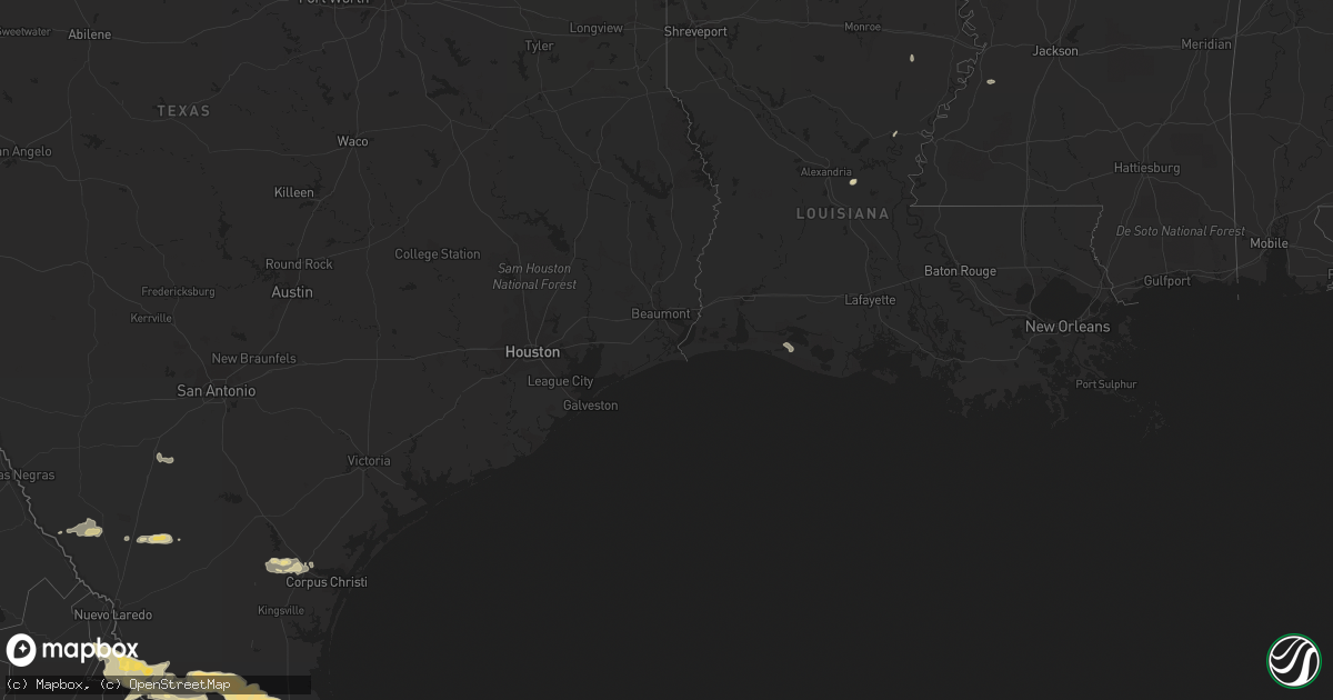
May 8 map
$229
one time, instant access
Download today. No call, no setup
Keep the $229
Bought the map and want the full workflow? Apply the entire $229 to a subscription within 7 days. None of it is wasted.
Every map, not just this one
This buys you this map. Subscription and you get every map we run, in the markets you choose from a few cities to whole states to nationwide. Plus real-time alerts the moment a storm fires.
Contact data
Name, contact info, occupancy, even credit band for addresses in the footprint. You go from where it hit to who to call.
Become the source they trust
Unlimited branding weather history reports on demand. You already have the documented answer ready for the property owner, and you are the one who showed up with it.
Property data and RoofTrace estimates
Pull up any address you have got, its value and the exact code rules for that jurisdiction, straight from One Click Code. Then RoofTrace estimates the squares, pitch, and roof value, priced the way you price.
Storm reports in Florida
Florida
| Date | Description |
|---|---|
| 05/08/20126:25 PM CDT | The interlachen fire department reported wind gusts estimated at 50 to 60 mph. The time given was based on radar. |
| 05/08/20126:05 PM CDT | A convenient store along u.s. Highway 315 reported that there were numerous tree limbs down. The time given was based on radar. |
| 05/08/20121:45 PM CDT | Media reported several tree branches were snapped and two light poles were bent/knocked down...near the intersection of indian creek parkway and maplewood drive. Damage |
| 05/08/20121:05 PM CDT | A wind gust of 59 kts...or 68 mph...was reported by a mesonet site at sun life stadium. This mesonet site is located on top of the stadium...at an esimated height of ab |
All States Impacted by Hail Map on May 8, 2012
Cities Impacted by Hail Map on May 8, 2012
- Rincon, NM
- Las Cruces, NM
- Encinal, TX
- Armstrong, TX
- Linn, TX
- Stewart, MS
- Eupora, MS
- Zapata, TX
- Garciasville, TX
- Lyford, TX
- Rio Grande City, TX
- San Ygnacio, TX
- Edinburg, TX
- San Perlita, TX
- San Isidro, TX
- Santa Elena, TX
- Hebbronville, TX
- Encino, TX
- Guerra, TX
- Roma, TX
- Raymondville, TX
- Orange Grove, TX
- Robstown, TX
- Sandia, TX
- Mathis, TX
- Salem, NM
- Hatch, NM
- Garfield, NM
- Amory, MS
- Cotulla, TX
- Winnsboro, LA
- Corpus Christi, TX
- Marathon, TX
- Caballo, NM
- Odem, TX
- Balmorhea, TX
- Fort Stockton, TX
- McCool, MS
- Ethel, MS
- McCarley, MS
- Williamsburg, NM
- Asherton, TX
- Deming, NM
- Charleston, MS
- Oakland, MS
- Greenwood, MS
- Winter Garden, FL
- Socorro, NM
- Hawthorne, FL
- Fort McCoy, FL
- Interlachen, FL
- Citra, FL
- Jonesville, LA
- Port Saint Lucie, FL
- Datil, NM
- Dryden, TX
- Holloman Air Force Base, NM
- Pineville, LA
- Laredo, TX
- Winona, MS
- Pearsall, TX
- Carrollton, MS
- Homestead, FL
- Miami, FL
- Houston, MS
- North Palm Beach, FL
- Fort Davis, TX
- Alamogordo, NM
- Effie, LA
- Sallis, MS
- Jupiter, FL
- Palm Beach Gardens, FL
- Alice, TX
- Duck Hill, MS
- Port Gibson, MS
- Hermanville, MS
- Grand Chenier, LA
- Hollywood, FL


